The right side wins on both ends of the flight: a scenic Panama City and bay departure, and a dramatic volcano-flanked descent into Quito, plus glimpses of the Colombian Pacific coastline during cruise. The left side offers mostly flat jungle and less distinctive eastern Andean terrain.
Flown PTY to UIO? Did we get it right?
Flight Path
Panama City to Quito is 639 miles (1,029 km), a flight of about 2 hours 10 minutes.
Colombian Pacific coastal lowlands (Chocó region), the western foothills of the Colombian Andes, and the volcanic peaks of southern Colombia and northern Ecuador including Galeras and Cotopaxi's outer ridges as the aircraft nears Quito
Great circle distance and headings ›


Phase by phase
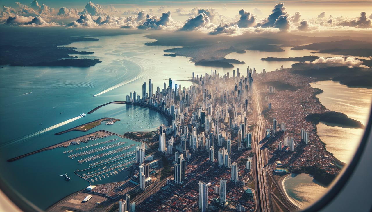
Takeoff from PTY
RIGHTDeparting PTY to the south, the right side offers a clear view of Panama City's skyline along the Bay of Panama and the Pacific coastline as the aircraft climbs out over the water. The left side shows only the flat, undifferentiated Darién jungle interior.
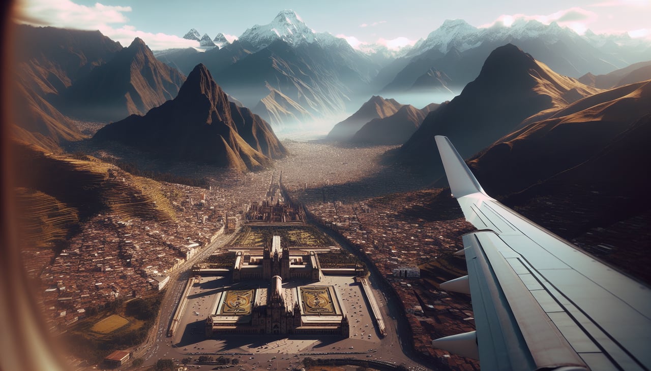
Landing at UIO
RIGHTOn approach into Quito's mountain valley, the right side faces west toward Pichincha volcano, which looms directly over the city, along with views of Quito's sprawling grid nestled between ridgelines. The left side faces the eastern cordillera, which is often more distant and less dramatic from typical approach paths.
Will your flight be in sunlight?
Pick a date and time in the Sun Map to watch the sun move across your whole flight.
About This Route
Which side of the plane should I sit on flying from Tocumen International (PTY) to Mariscal Sucre International Airport (UIO)?
Sit on the Right side of the plane for the best views on flights from Panama City to Quito. The right side wins on both ends of the flight: a scenic Panama City and bay departure, and a dramatic volcano-flanked descent into Quito, plus glimpses of the Colombian Pacific coastline during cruise. The left side offers mostly flat jungle and less distinctive eastern Andean terrain.
What can I see during takeoff from Tocumen International in Panama City?
During takeoff from Tocumen International (PTY), sit on the Right side for the best views. Departing PTY to the south, the right side offers a clear view of Panama City's skyline along the Bay of Panama and the Pacific coastline as the aircraft climbs out over the water. The left side shows only the flat, undifferentiated Darién jungle interior. Notable sights include: Panama City skyline, Bay of Panama, Pacific coastline, Amador Causeway.
What can I see when landing at Mariscal Sucre International Airport in Quito?
When landing at Mariscal Sucre International Airport (UIO), sit on the Right side for the best views. On approach into Quito's mountain valley, the right side faces west toward Pichincha volcano, which looms directly over the city, along with views of Quito's sprawling grid nestled between ridgelines. The left side faces the eastern cordillera, which is often more distant and less dramatic from typical approach paths. Notable sights include: Pichincha volcano, Quito cityscape, Andean valley ridgelines, Guagua Pichincha crater.
How long is the flight from Panama City to Quito?
The flight from Tocumen International (PTY) to Mariscal Sucre International Airport (UIO) takes about 2 hours 10 minutes. The shortest flight path between them is 639 miles (1,029 km); winds and air traffic control usually add a few percent.
What does the Panama City to Quito flight path pass over?
Colombian Pacific coastal lowlands (Chocó region), the western foothills of the Colombian Andes, and the volcanic peaks of southern Colombia and northern Ecuador including Galeras and Cotopaxi's outer ridges as the aircraft nears Quito