While takeoff favors the right for Quito's dramatic Andean departure, the landing view over the Panama Canal and Gatun Lake from the left is geographically more distinctive and memorable. The canal approach is a once-in-a-lifetime perspective for most passengers.
Flown UIO to PTY? Did we get it right?
Flight Path
Quito to Panama City is 639 miles (1,029 km), a flight of about 2 hours 15 minutes.
The flight path crosses the Caribbean coast of Colombia near the Darién region, then follows the Caribbean side of Central America. You'll pass over dense tropical rainforest (largely invisible below cloud cover at cruise altitude), the Caribbean coastline of Panama with its archipelago systems, and approach the isthmus from the north. Gatun Lake becomes visible roughly 30 minutes before landing as you descend through 10,000 feet.
Great circle distance and headings ›

Phase by phase

Takeoff from UIO
RIGHTRight-side seats offer the best view during Quito's typical eastbound departure. You'll see the Andes spine receding southward and the high-altitude plateau terrain that defines the region. The climb-out path takes you northeast initially, so right windows capture the dramatic escarpment and valleys.
Landing at PTY
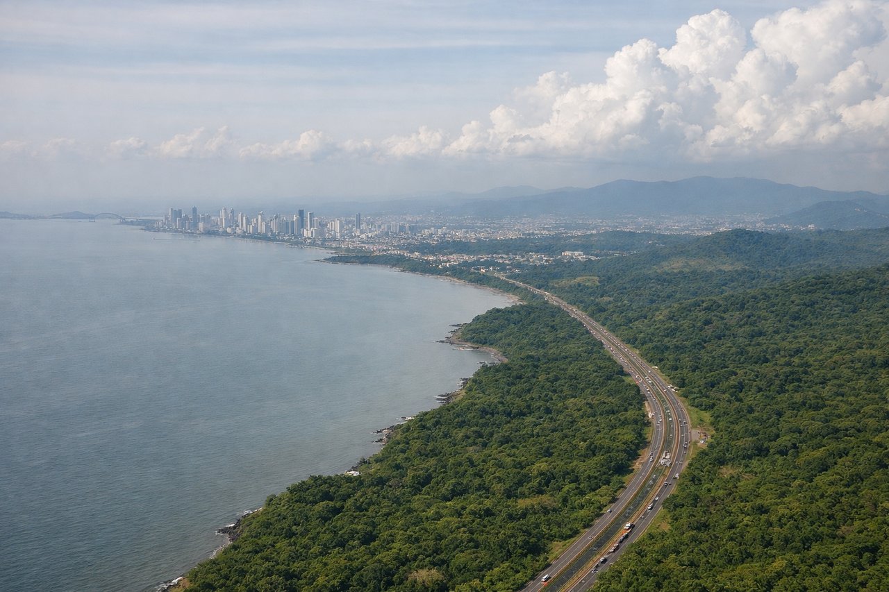
LEFTLeft seats provide superior views during approach to Tocumen. The standard approach from the southwest brings you over the Panama Canal watershed and Gatun Lake. Left windows frame the canal's locks, the lake's eastern shoreline, and Panama City's skyline as you descend into the final approach corridor.
Will your flight be in sunlight?
Pick a date and time in the Sun Map to watch the sun move across your whole flight.
About This Route
Which side of the plane should I sit on flying from Mariscal Sucre International Airport (UIO) to Tocumen International (PTY)?
Sit on the Left side of the plane for the best views on flights from Quito to Panama City. While takeoff favors the right for Quito's dramatic Andean departure, the landing view over the Panama Canal and Gatun Lake from the left is geographically more distinctive and memorable. The canal approach is a once-in-a-lifetime perspective for most passengers.
What can I see during takeoff from Mariscal Sucre International Airport in Quito?
During takeoff from Mariscal Sucre International Airport (UIO), sit on the Right side for the best views. Right-side seats offer the best view during Quito's typical eastbound departure. You'll see the Andes spine receding southward and the high-altitude plateau terrain that defines the region. The climb-out path takes you northeast initially, so right windows capture the dramatic escarpment and valleys. Notable sights include: Eastern Cordillera of the Andes, Quito urban sprawl in the valley floor, Pichincha volcanic complex to the west (visible as you bank), high-altitude páramo grasslands stretching east.
What can I see when landing at Tocumen International in Panama City?
When landing at Tocumen International (PTY), sit on the Left side for the best views. Left seats provide superior views during approach to Tocumen. The standard approach from the southwest brings you over the Panama Canal watershed and Gatun Lake. Left windows frame the canal's locks, the lake's eastern shoreline, and Panama City's skyline as you descend into the final approach corridor. Notable sights include: Gatun Lake (massive freshwater reservoir), Panama Canal locks and cut, Panama City skyline on the Pacific side, Soberanía National Forest (dense green canopy to the north).
How long is the flight from Quito to Panama City?
The flight from Mariscal Sucre International Airport (UIO) to Tocumen International (PTY) takes about 2 hours 15 minutes. The shortest flight path between them is 639 miles (1,029 km); winds and air traffic control usually add a few percent.
What does the Quito to Panama City flight path pass over?
The flight path crosses the Caribbean coast of Colombia near the Darién region, then follows the Caribbean side of Central America. You'll pass over dense tropical rainforest (largely invisible below cloud cover at cruise altitude), the Caribbean coastline of Panama with its archipelago systems, and approach the isthmus from the north. Gatun Lake becomes visible roughly 30 minutes before landing as you descend through 10,000 feet.