While takeoff offers the Yangtze estuary's visual drama, the landing approach provides more sustained and varied scenery—the Marmara Sea, Bosphorus strait, and Istanbul's geography are all visible and distinctive. The left side captures these landing features optimally.
Flown PVG to SAW? Did we get it right?
Flight Path
Shanghai to Pendik, Istanbul is 4,969 miles (7,997 km), a flight of about 10 hours 25 minutes.
The flight path crosses central Asia, passing over the Tian Shan mountain range (visible as a snow-capped ridge on the left around 4-5 hours into flight), the Taklamakan Desert (tan and featureless, visible on the right), the Pamir Plateau, and eventually the Caucasus Mountains before descending toward Istanbul. The Caspian Sea appears on the left during the western portion of the flight. Most of the midpoint journey crosses high-altitude desert and plateau terrain with limited distinctive landmarks visible from cruise altitude.
Great circle distance and headings ›


Phase by phase
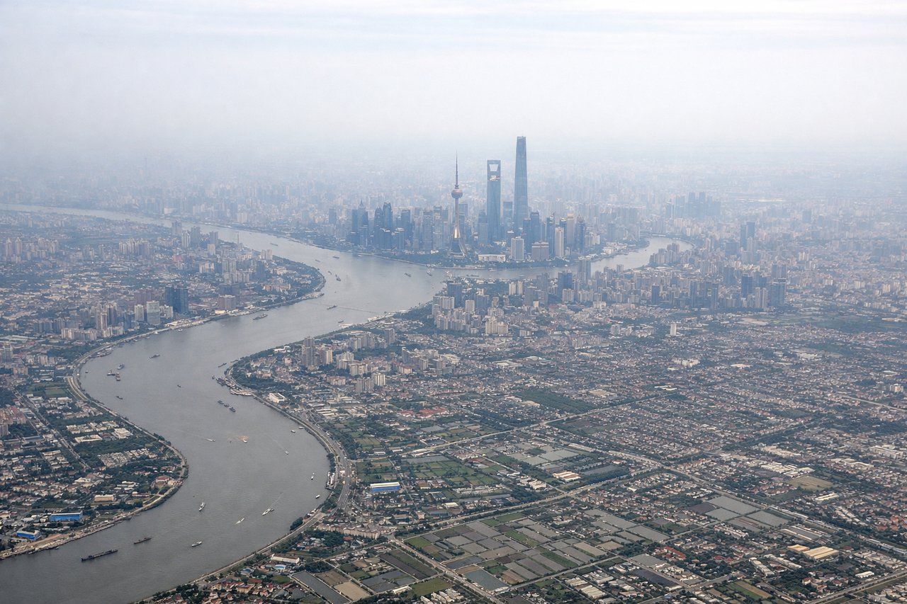
Takeoff from PVG
RIGHTRight-side seats capture the Yangtze River estuary and Hangzhou Bay as the aircraft climbs westward from Pudong. The river's massive delta system with its braided channels and tidal mudflats is distinctive and photogenic during the initial 10-15 minute climb.
Landing at SAW
LEFTLeft-side seats offer views of the Marmara Sea, the Bosphorus strait, and the European side of Istanbul during the descent into Sabiha Gökçen. The water body's deep blue contrasts sharply with the surrounding terrain, and the strait's narrow passage is visually striking.
Will your flight be in sunlight?
Pick a date and time in the Sun Map to watch the sun move across your whole flight.
About This Route
Which side of the plane should I sit on flying from Shanghai Pudong International (PVG) to Istanbul Sabiha Gökçen International Airport (SAW)?
Sit on the Left side of the plane for the best views on flights from Shanghai to Pendik, Istanbul. While takeoff offers the Yangtze estuary's visual drama, the landing approach provides more sustained and varied scenery—the Marmara Sea, Bosphorus strait, and Istanbul's geography are all visible and distinctive. The left side captures these landing features optimally.
What can I see during takeoff from Shanghai Pudong International in Shanghai?
During takeoff from Shanghai Pudong International (PVG), sit on the Right side for the best views. Right-side seats capture the Yangtze River estuary and Hangzhou Bay as the aircraft climbs westward from Pudong. The river's massive delta system with its braided channels and tidal mudflats is distinctive and photogenic during the initial 10-15 minute climb. Notable sights include: Yangtze River estuary, Hangzhou Bay, East China Sea coastline, Shanghai urban sprawl receding southward.
What can I see when landing at Istanbul Sabiha Gökçen International Airport in Pendik, Istanbul?
When landing at Istanbul Sabiha Gökçen International Airport (SAW), sit on the Left side for the best views. Left-side seats offer views of the Marmara Sea, the Bosphorus strait, and the European side of Istanbul during the descent into Sabiha Gökçen. The water body's deep blue contrasts sharply with the surrounding terrain, and the strait's narrow passage is visually striking. Notable sights include: Sea of Marmara, Bosphorus strait, European coastline of Istanbul, Anatolian plateau terrain.
How long is the flight from Shanghai to Pendik, Istanbul?
The flight from Shanghai Pudong International (PVG) to Istanbul Sabiha Gökçen International Airport (SAW) takes about 10 hours 25 minutes. The shortest flight path between them is 4,969 miles (7,997 km); winds and air traffic control usually add a few percent.
What does the Shanghai to Pendik, Istanbul flight path pass over?
The flight path crosses central Asia, passing over the Tian Shan mountain range (visible as a snow-capped ridge on the left around 4-5 hours into flight), the Taklamakan Desert (tan and featureless, visible on the right), the Pamir Plateau, and eventually the Caucasus Mountains before descending toward Istanbul. The Caspian Sea appears on the left during the western portion of the flight. Most of the midpoint journey crosses high-altitude desert and plateau terrain with limited distinctive landmarks visible from cruise altitude.