Savannah to Atlanta is 214 miles (345 km), a flight of about 50 minutes.
The right side edges out slightly due to the marshland and river views during the short departure from Savannah, since the rest of the flight over the flat Georgia interior offers little scenic variation on either side.
Flight Path
Flat Georgia coastal plain transitioning to Piedmont farmland and pine forest, with no major rivers or mountains directly along the route
Great circle distance and headings ›Phase by phase
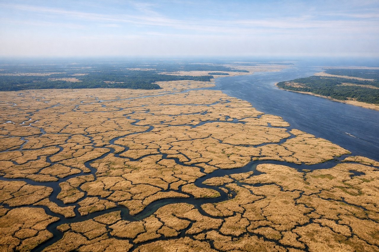
Takeoff from SAV
RIGHTDeparting SAV to the west, the right side offers a brief look back at the Savannah River and the tidal marshlands east of the airport before the aircraft turns onto its northwest track. The left side shows only flat pine forest and farmland.
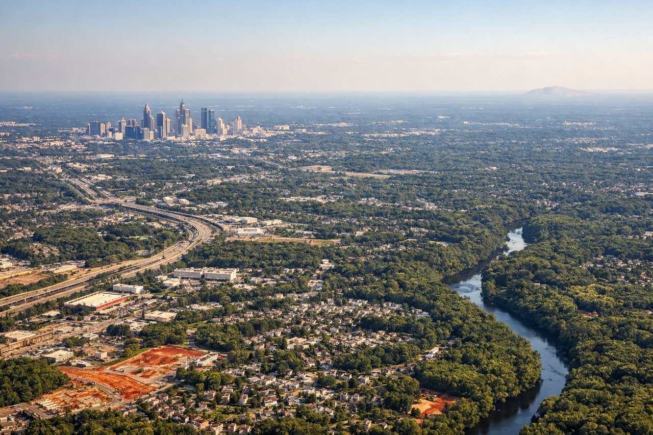
Landing at ATL
LEFTOn approach into ATL from the east, the left side faces south toward downtown and Midtown Atlanta's skyline as the aircraft lines up for the parallel runways, giving passengers a clear city view. The right side only shows suburban sprawl and rolling Piedmont terrain.
Landmarks on this routeAll landmarks →
Will your flight be in sunlight?
Pick a date and time in the Sun Map to watch the sun move across your whole flight.
About This Route
Which side of the plane should I sit on flying from Savannah Hilton Head International (SAV) to The William B Hartsfield Atlanta International (ATL)?
Sit on the Right side of the plane for the best views on flights from Savannah to Atlanta. The right side edges out slightly due to the marshland and river views during the short departure from Savannah, since the rest of the flight over the flat Georgia interior offers little scenic variation on either side.
What can I see during takeoff from Savannah Hilton Head International in Savannah?
During takeoff from Savannah Hilton Head International (SAV), sit on the Right side for the best views. Departing SAV to the west, the right side offers a brief look back at the Savannah River and the tidal marshlands east of the airport before the aircraft turns onto its northwest track. The left side shows only flat pine forest and farmland. Notable sights include: Savannah River, coastal marsh/tidal creeks, Savannah cityscape edge.
What can I see when landing at The William B Hartsfield Atlanta International in Atlanta?
When landing at The William B Hartsfield Atlanta International (ATL), sit on the Left side for the best views. On approach into ATL from the east, the left side faces south toward downtown and Midtown Atlanta's skyline as the aircraft lines up for the parallel runways, giving passengers a clear city view. The right side only shows suburban sprawl and rolling Piedmont terrain. Notable sights include: Atlanta downtown skyline, Hartsfield-Jackson's parallel runway complex, Piedmont rolling hills.
How long is the flight from Savannah to Atlanta?
The flight from Savannah Hilton Head International (SAV) to The William B Hartsfield Atlanta International (ATL) takes about 50 minutes. The shortest flight path between them is 214 miles (345 km); winds and air traffic control usually add a few percent.
What does the Savannah to Atlanta flight path pass over?
Flat Georgia coastal plain transitioning to Piedmont farmland and pine forest, with no major rivers or mountains directly along the route