Santo Domingo to Cartagena is 676 miles (1,088 km), a flight of about 2 hours 5 minutes.
While left offers good takeoff scenery, right provides superior landing views of the Magdalena delta and Cartagena Bay—more visually distinctive and geographically significant. The landing experience outweighs the takeoff advantage.
Flight Path
Open Caribbean Sea with no major landmarks; flight passes over deep water between the Dominican Republic and Colombian coast. At cruising altitude (typically 25,000-30,000 feet), the horizon shows only water and distant coastlines. No significant islands or geographic features lie directly on the typical flight path.
Great circle distance and headings ›Phase by phase
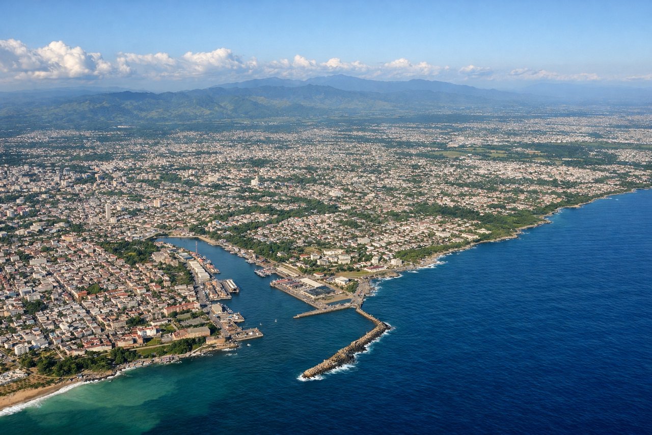
Takeoff from SDQ
LEFTLeft side offers views of the Caribbean coastline and the Cordillera Central mountain range as the aircraft climbs westward out of Santo Domingo. The terrain rises dramatically inland, creating strong visual contrast against the coastal plains.
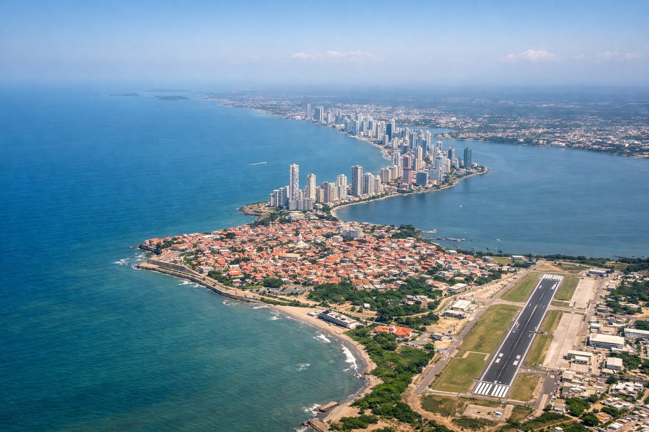
Landing at CTG
RIGHTRight side provides views of the Magdalena River delta and the Caribbean coastline as the aircraft descends toward Cartagena from the northeast. The delta's intricate waterways and mangrove systems are visually distinctive at lower altitudes during final approach.
Landmarks on this routeAll landmarks →
Will your flight be in sunlight?
Pick a date and time in the Sun Map to watch the sun move across your whole flight.
About This Route
Which side of the plane should I sit on flying from Las Americas International (SDQ) to Rafael Nunez (CTG)?
Sit on the Right side of the plane for the best views on flights from Santo Domingo to Cartagena. While left offers good takeoff scenery, right provides superior landing views of the Magdalena delta and Cartagena Bay—more visually distinctive and geographically significant. The landing experience outweighs the takeoff advantage.
What can I see during takeoff from Las Americas International in Santo Domingo?
During takeoff from Las Americas International (SDQ), sit on the Left side for the best views. Left side offers views of the Caribbean coastline and the Cordillera Central mountain range as the aircraft climbs westward out of Santo Domingo. The terrain rises dramatically inland, creating strong visual contrast against the coastal plains. Notable sights include: Caribbean Sea (south), Cordillera Central peaks (west/northwest), Ozama River valley (immediate west of airport), coastal lowlands of San Cristóbal province.
What can I see when landing at Rafael Nunez in Cartagena?
When landing at Rafael Nunez (CTG), sit on the Right side for the best views. Right side provides views of the Magdalena River delta and the Caribbean coastline as the aircraft descends toward Cartagena from the northeast. The delta's intricate waterways and mangrove systems are visually distinctive at lower altitudes during final approach. Notable sights include: Magdalena River delta and mouth (north/northeast), Caribbean Sea (east and south), Cartagena Bay and harbor (south), coastal mangrove wetlands.
How long is the flight from Santo Domingo to Cartagena?
The flight from Las Americas International (SDQ) to Rafael Nunez (CTG) takes about 2 hours 5 minutes. The shortest flight path between them is 676 miles (1,088 km); winds and air traffic control usually add a few percent.
What does the Santo Domingo to Cartagena flight path pass over?
Open Caribbean Sea with no major landmarks; flight passes over deep water between the Dominican Republic and Colombian coast. At cruising altitude (typically 25,000-30,000 feet), the horizon shows only water and distant coastlines. No significant islands or geographic features lie directly on the typical flight path.