While the left side wins the brief Seattle takeoff, the right side carries the advantage through the long Pacific crossing near the Aleutians and Kamchatka's coastline and delivers the more memorable payoff on arrival with Tokyo Bay and Mount Fuji, giving it the stronger overall flight.
Flight Path
Gulf of Alaska, the Aleutian Island chain and Kamchatka Peninsula visible as distant coastline on clear stretches, otherwise open North Pacific Ocean for most of the crossing
Great circle distance and headings ›


Phase by phase
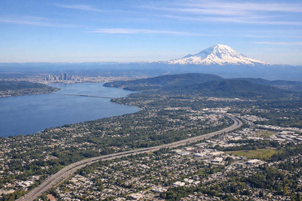
Takeoff from SEA
LEFTSEA departures to the northwest climb out on runway 34 over Puget Sound before banking west, and that left-hand turn tilts the cabin so left-side passengers get a clean view down onto downtown Seattle, Elliott Bay, and the Olympic Mountains beyond the water.
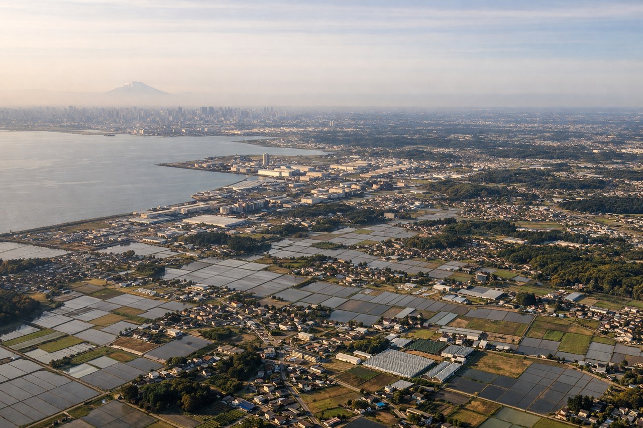
Landing at NRT
RIGHTArrivals into Narita from the north curve down over Chiba Prefecture, and on the final descent right-side passengers look west across Tokyo Bay toward the city skyline, with Mount Fuji's cone often visible on the horizon on clear days.
Landmarks on this routeAll landmarks →
Will your flight be in sunlight?
See exactly which side of the plane gets sun and shade at your departure time.
About This Route
Which side of the plane should I sit on flying from Seattle Tacoma International (SEA) to New Tokyo International (NRT)?
Sit on the Right side of the plane for the best views on flights from Seattle to Tokyo. While the left side wins the brief Seattle takeoff, the right side carries the advantage through the long Pacific crossing near the Aleutians and Kamchatka's coastline and delivers the more memorable payoff on arrival with Tokyo Bay and Mount Fuji, giving it the stronger overall flight.
What can I see during takeoff from Seattle Tacoma International in Seattle?
During takeoff from Seattle Tacoma International (SEA), sit on the Left side for the best views. SEA departures to the northwest climb out on runway 34 over Puget Sound before banking west, and that left-hand turn tilts the cabin so left-side passengers get a clean view down onto downtown Seattle, Elliott Bay, and the Olympic Mountains beyond the water. Notable sights include: Elliott Bay and downtown Seattle skyline, Puget Sound with its islands, Olympic Mountains, Bainbridge Island.
What can I see when landing at New Tokyo International in Tokyo?
When landing at New Tokyo International (NRT), sit on the Right side for the best views. Arrivals into Narita from the north curve down over Chiba Prefecture, and on the final descent right-side passengers look west across Tokyo Bay toward the city skyline, with Mount Fuji's cone often visible on the horizon on clear days. Notable sights include: Tokyo Bay, Mount Fuji (weather permitting), Chiba coastline and Boso Peninsula, distant Tokyo skyline.
How long is the flight from Seattle to Tokyo?
The flight from Seattle Tacoma International (SEA) to New Tokyo International (NRT) takes 10h 35m.
What does the Seattle to Tokyo flight path pass over?
Gulf of Alaska, the Aleutian Island chain and Kamchatka Peninsula visible as distant coastline on clear stretches, otherwise open North Pacific Ocean for most of the crossing