The left side wins both the San Francisco Bay departure views and the dramatic Kauai mountain approach, while the right side spends both segments facing mostly open ocean with little terrain interest.
Flight Path
Open Pacific Ocean for the vast majority of the route, with no islands or landmarks visible until the descent toward Kauai.
Great circle distance and headings ›Phase by phase
Takeoff from SFO
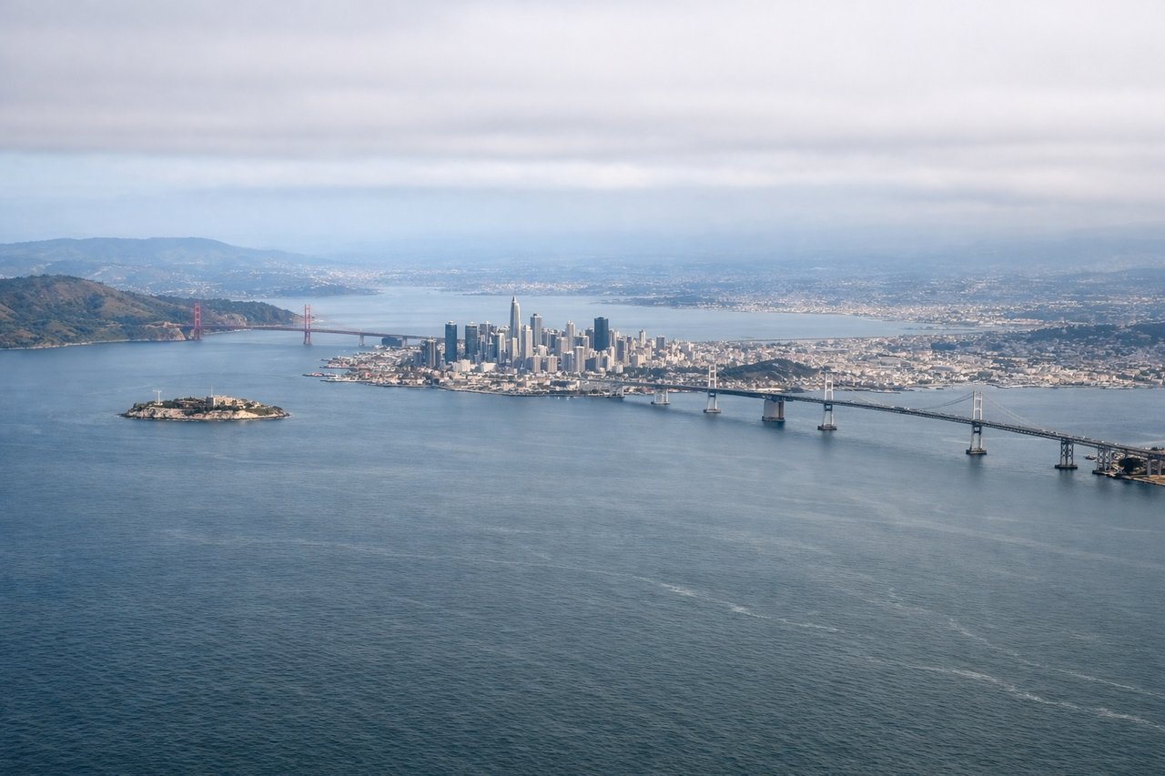
LEFTDeparting SFO on the southeast-heading runway, the aircraft climbs out over the Peninsula before curving toward the open Pacific. Left-side passengers get a good look at San Francisco Bay, the city skyline, and the San Francisco Peninsula hills before the turn out to sea, while the right side mostly faces open water almost immediately.
Landing at LIH
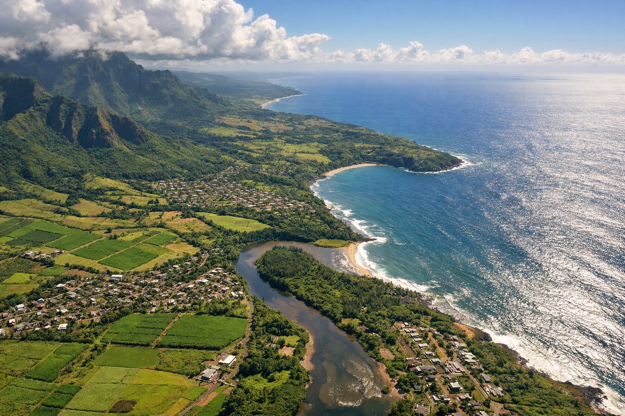
LEFTArriving from the mainland, aircraft typically make a straight-in approach to Runway 03 from the northeast, banking to line up over Kauai's east coast. Left-side passengers see the dramatic interior peaks near Mount Waialeale and the lush green ridgelines of Kauai's interior, while the right side mostly faces open ocean and the smaller coastal town of Lihue.
Landmarks on this routeAll landmarks →
Will your flight be in sunlight?
See exactly which side of the plane gets sun and shade at your departure time.
About This Route
Which side of the plane should I sit on flying from San Francisco International (SFO) to Lihue (LIH)?
Sit on the Left side of the plane for the best views on flights from San Francisco to Lihue. The left side wins both the San Francisco Bay departure views and the dramatic Kauai mountain approach, while the right side spends both segments facing mostly open ocean with little terrain interest.
What can I see during takeoff from San Francisco International in San Francisco?
During takeoff from San Francisco International (SFO), sit on the Left side for the best views. Departing SFO on the southeast-heading runway, the aircraft climbs out over the Peninsula before curving toward the open Pacific. Left-side passengers get a good look at San Francisco Bay, the city skyline, and the San Francisco Peninsula hills before the turn out to sea, while the right side mostly faces open water almost immediately. Notable sights include: San Francisco Bay, San Francisco skyline, San Bruno Mountain, Pacific coastline near Pacifica.
What can I see when landing at Lihue in Lihue?
When landing at Lihue (LIH), sit on the Left side for the best views. Arriving from the mainland, aircraft typically make a straight-in approach to Runway 03 from the northeast, banking to line up over Kauai's east coast. Left-side passengers see the dramatic interior peaks near Mount Waialeale and the lush green ridgelines of Kauai's interior, while the right side mostly faces open ocean and the smaller coastal town of Lihue. Notable sights include: Mount Waialeale summit ridges, Hoary Head Ridge, Wailua River valley, Kauai interior rainforest.
How long is the flight from San Francisco to Lihue?
The flight from San Francisco International (SFO) to Lihue (LIH) takes 5h 50m.
What does the San Francisco to Lihue flight path pass over?
Open Pacific Ocean for the vast majority of the route, with no islands or landmarks visible until the descent toward Kauai.