While takeoff offers a brief glimpse of the Mekong Delta and Saigon's skyline, the cruise is dominated by featureless ocean for hours; the left side's payoff comes on descent with a rare, iconic view of Mount Fuji, which outweighs the flat delta scenery for overall visual impact.
Flown SGN to NRT? Did we get it right?
Flight Path
Ho Chi Minh City to Tokyo is 2,724 miles (4,384 km), a flight of about 5 hours 10 minutes.
South China Sea, Taiwan Strait, East China Sea, scattered Ryukyu Islands visible in clear conditions
Great circle distance and headings ›


Phase by phase
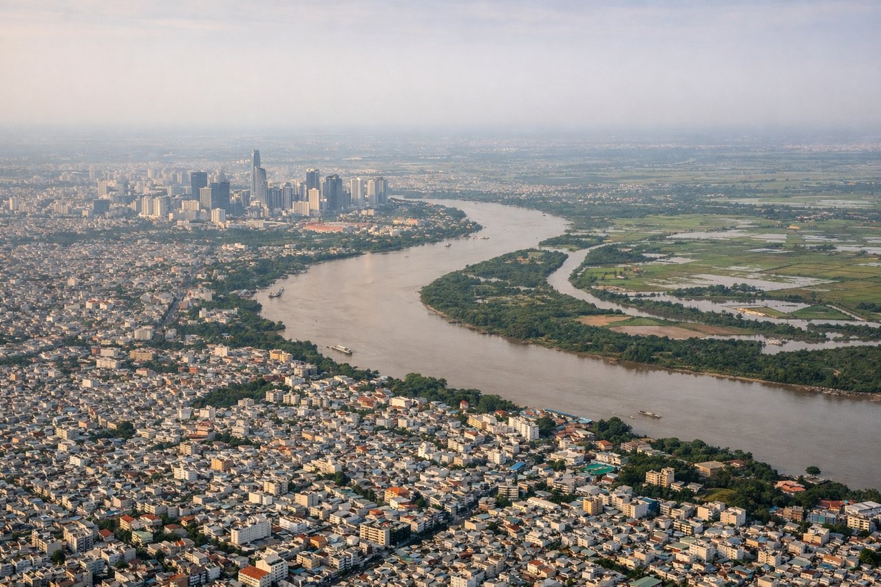
Takeoff from SGN
RIGHTDeparting Tan Son Nhat, the climb-out typically banks the aircraft over the Saigon River and Mekong Delta's patchwork of rice paddies and waterways before heading out over the South China Sea, best seen on the right side as the plane turns northeast.
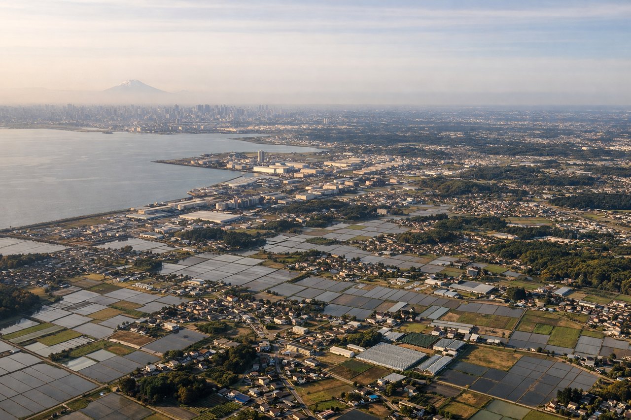
Landing at NRT
LEFTOn approach into Narita from the south or southwest, the descent path often passes close enough to reveal Mount Fuji's distinctive snow-capped cone rising above the Kanto plain on the left side of the aircraft, along with the Izu Peninsula's coastline.
Will your flight be in sunlight?
Pick a date and time in the Sun Map to watch the sun move across your whole flight.
About This Route
Which side of the plane should I sit on flying from Tansonnhat International (SGN) to New Tokyo International (NRT)?
Sit on the Left side of the plane for the best views on flights from Ho Chi Minh City to Tokyo. While takeoff offers a brief glimpse of the Mekong Delta and Saigon's skyline, the cruise is dominated by featureless ocean for hours; the left side's payoff comes on descent with a rare, iconic view of Mount Fuji, which outweighs the flat delta scenery for overall visual impact.
What can I see during takeoff from Tansonnhat International in Ho Chi Minh City?
During takeoff from Tansonnhat International (SGN), sit on the Right side for the best views. Departing Tan Son Nhat, the climb-out typically banks the aircraft over the Saigon River and Mekong Delta's patchwork of rice paddies and waterways before heading out over the South China Sea, best seen on the right side as the plane turns northeast. Notable sights include: Saigon River, Ho Chi Minh City skyline, Mekong Delta rice paddies, South China Sea coastline.
What can I see when landing at New Tokyo International in Tokyo?
When landing at New Tokyo International (NRT), sit on the Left side for the best views. On approach into Narita from the south or southwest, the descent path often passes close enough to reveal Mount Fuji's distinctive snow-capped cone rising above the Kanto plain on the left side of the aircraft, along with the Izu Peninsula's coastline. Notable sights include: Mount Fuji, Izu Peninsula coastline, Kanto plain farmland, Tokyo Bay in the distance.
How long is the flight from Ho Chi Minh City to Tokyo?
The flight from Tansonnhat International (SGN) to New Tokyo International (NRT) takes about 5 hours 10 minutes. The shortest flight path between them is 2,724 miles (4,384 km); winds and air traffic control usually add a few percent.
What does the Ho Chi Minh City to Tokyo flight path pass over?
South China Sea, Taiwan Strait, East China Sea, scattered Ryukyu Islands visible in clear conditions