While the takeoff offers dramatic mountain scenery, the landing view of Washington's iconic monuments and the Potomac River is more consistently rewarding and recognizable. Right seats capture the most memorable part of this route.
Flown SLC to DCA? Did we get it right?
Flight Path
Salt Lake City to Washington is 1,847 miles (2,972 km), a flight of about 4 hours 15 minutes.
The flight path crosses the Rocky Mountains (visible around 1.5 hours out, with peaks of the Uinta Range and Colorado Rockies), then transitions over the Great Plains. Around the 2-hour mark, you'll pass over eastern Colorado and western Kansas with minimal elevation. The Ohio River valley becomes visible in the final hour as you approach the Appalachian region. The Appalachian Mountains appear as a series of parallel ridges running northeast-southwest, visible from roughly 1 hour before landing. The flight generally follows a great-circle route slightly south of due east, crossing eight states.
Great circle distance and headings ›


Phase by phase
Takeoff from SLC
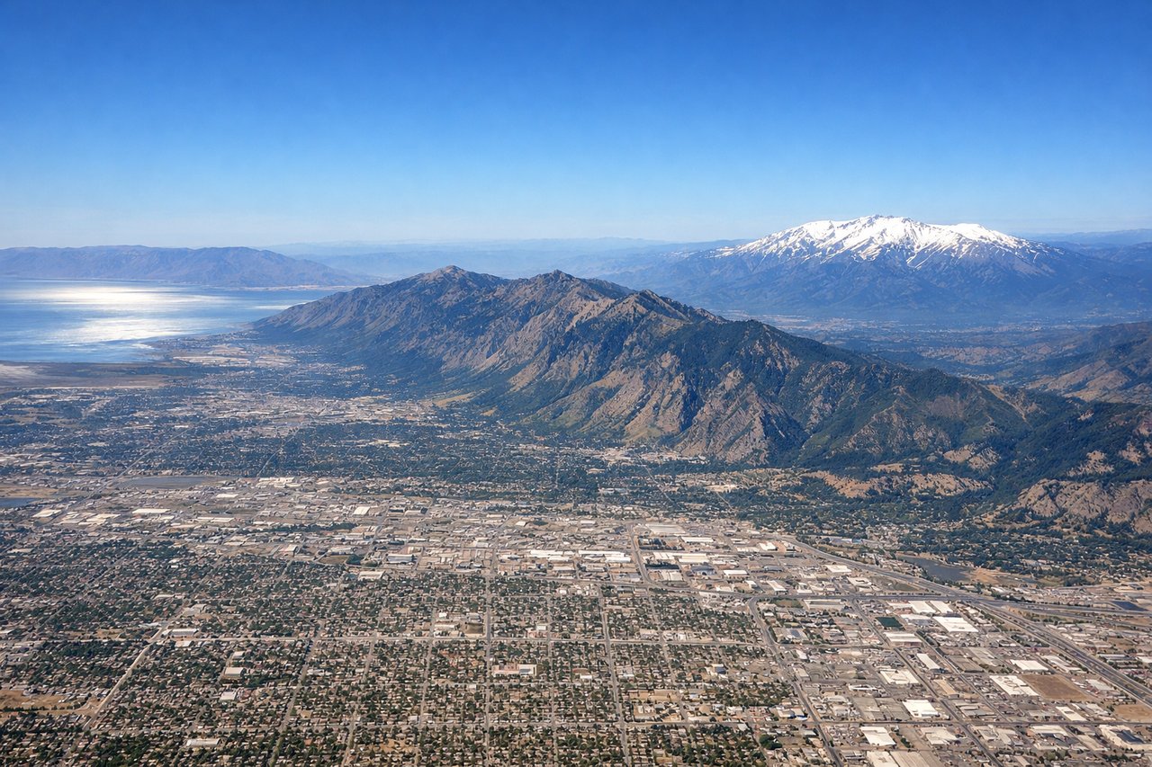
LEFTSLC typically departs runways 16L/R or 34L/R depending on wind. Left seats offer the best view of the Wasatch Range immediately east of the airport during climb-out, with the dramatic peaks rising sharply from the valley floor. You'll also see the Great Salt Lake to the northwest as you bank northeastward.
Landing at DCA
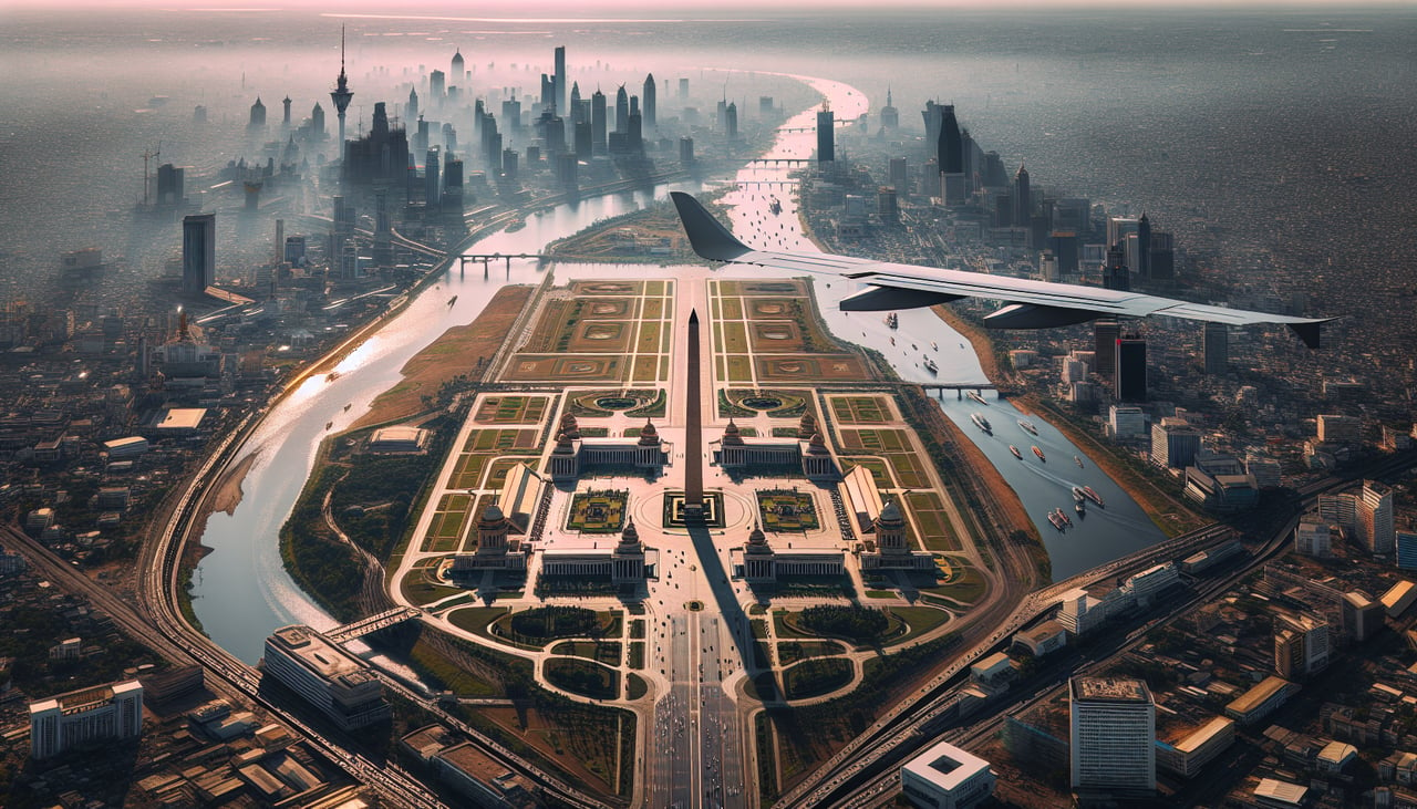
RIGHTDCA uses runways 01/19 depending on wind; most approaches come from the west. Right seats provide excellent views of the Potomac River, the National Mall monuments, and Arlington during descent. You'll see the Lincoln Memorial, Washington Monument, and Capitol Building arrayed along the river as you descend toward the airport on the eastern shore.
Will your flight be in sunlight?
Pick a date and time in the Sun Map to watch the sun move across your whole flight.
About This Route
Which side of the plane should I sit on flying from Salt Lake City International (SLC) to Ronald Reagan Washington National (DCA)?
Sit on the Right side of the plane for the best views on flights from Salt Lake City to Washington. While the takeoff offers dramatic mountain scenery, the landing view of Washington's iconic monuments and the Potomac River is more consistently rewarding and recognizable. Right seats capture the most memorable part of this route.
What can I see during takeoff from Salt Lake City International in Salt Lake City?
During takeoff from Salt Lake City International (SLC), sit on the Left side for the best views. SLC typically departs runways 16L/R or 34L/R depending on wind. Left seats offer the best view of the Wasatch Range immediately east of the airport during climb-out, with the dramatic peaks rising sharply from the valley floor. You'll also see the Great Salt Lake to the northwest as you bank northeastward. Notable sights include: Wasatch Range (especially Mount Olympus and the Twin Peaks massif), Great Salt Lake, Salt Lake Valley urban grid, Antelope Island in the lake.
What can I see when landing at Ronald Reagan Washington National in Washington?
When landing at Ronald Reagan Washington National (DCA), sit on the Right side for the best views. DCA uses runways 01/19 depending on wind; most approaches come from the west. Right seats provide excellent views of the Potomac River, the National Mall monuments, and Arlington during descent. You'll see the Lincoln Memorial, Washington Monument, and Capitol Building arrayed along the river as you descend toward the airport on the eastern shore. Notable sights include: Potomac River, Lincoln Memorial and National Mall complex, Washington Monument, Capitol Building, Arlington National Cemetery across the river.
How long is the flight from Salt Lake City to Washington?
The flight from Salt Lake City International (SLC) to Ronald Reagan Washington National (DCA) takes about 4 hours 15 minutes. The shortest flight path between them is 1,847 miles (2,972 km); winds and air traffic control usually add a few percent.
What does the Salt Lake City to Washington flight path pass over?
The flight path crosses the Rocky Mountains (visible around 1.5 hours out, with peaks of the Uinta Range and Colorado Rockies), then transitions over the Great Plains. Around the 2-hour mark, you'll pass over eastern Colorado and western Kansas with minimal elevation. The Ohio River valley becomes visible in the final hour as you approach the Appalachian region. The Appalachian Mountains appear as a series of parallel ridges running northeast-southwest, visible from roughly 1 hour before landing. The flight generally follows a great-circle route slightly south of due east, crossing eight states.