While the takeoff offers excellent views of Taiwan's northern coast and volcanic terrain, the landing approach into Chiang Mai provides more sustained and dramatic scenery—the Doi Suthep mountains and the northern Thai valley landscape are visually striking and occupy more of the descent. Left-side seats capture this better.
Flown TPE to CNX? Did we get it right?
Flight Path
Taipei to Chiang Mai is 1,490 miles (2,398 km), a flight of about 3 hours 30 minutes.
The flight path crosses the Gulf of Tonkin (Beibu Gulf) heading southwest, passing over the Laotian border region. Notable features include the Mekong River delta region to the west, the mountainous terrain of northern Laos and Thailand (Luang Prabang highlands visible to the left/west during cruise), and the transition from coastal lowlands to the upland plateau terrain of northern Thailand. The Annamite Range forms the Laos-Vietnam border to the left during the cruise phase.
Great circle distance and headings ›

Phase by phase
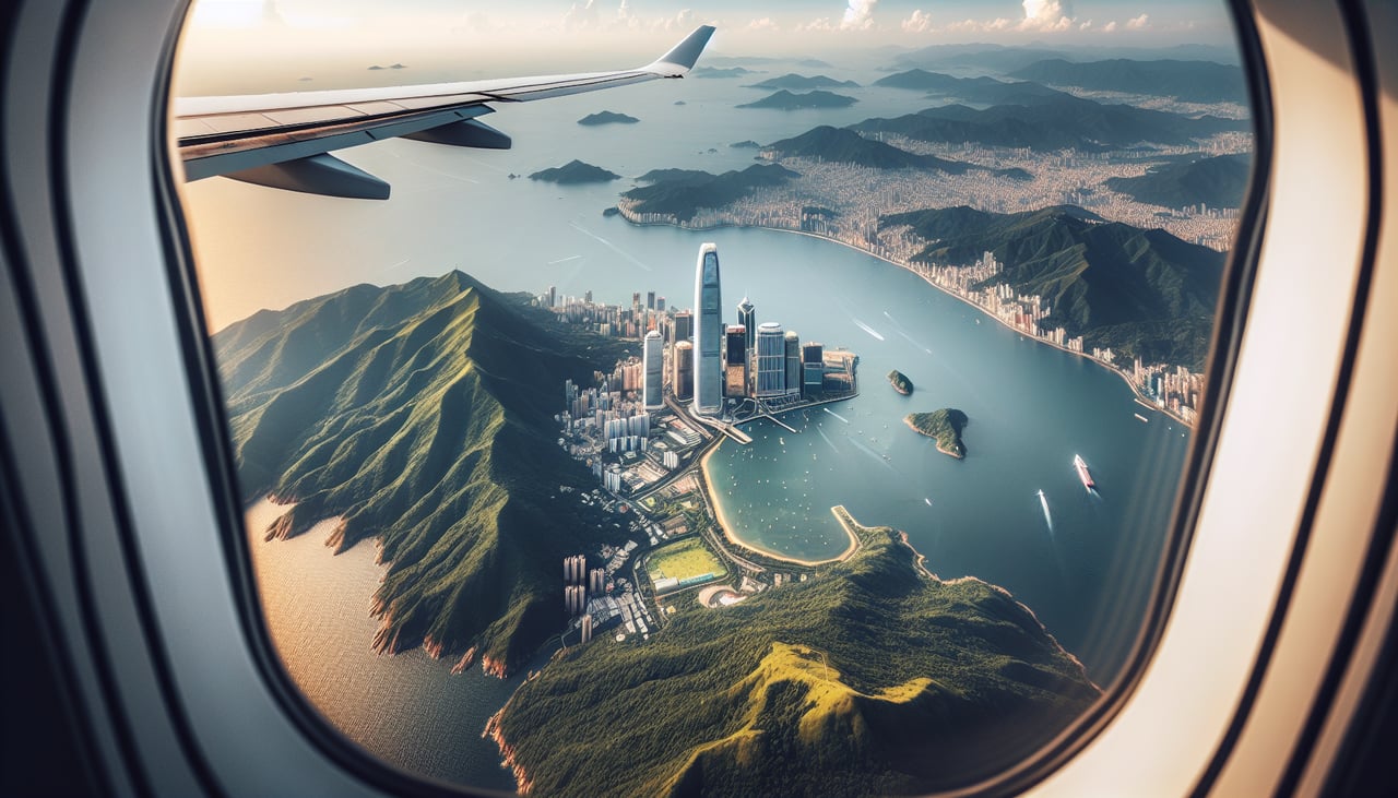
Takeoff from TPE
RIGHTRight-side seats capture the northwestward climb-out over the Taiwan Strait and the northern Taiwan coastline, including the dramatic transition from Taipei's urban sprawl to the Yangmingshan volcanic plateau and the northern coast.
Landing at CNX
LEFTLeft-side seats offer the best views during the descent into Chiang Mai, showing the Doi Suthep mountain massif and the northern Thai valley landscape as the aircraft approaches from the southeast.
Will your flight be in sunlight?
Pick a date and time in the Sun Map to watch the sun move across your whole flight.
About This Route
Which side of the plane should I sit on flying from Chiang Kai Shek International (TPE) to Chiang Mai International Airport (CNX)?
Sit on the Left side of the plane for the best views on flights from Taipei to Chiang Mai. While the takeoff offers excellent views of Taiwan's northern coast and volcanic terrain, the landing approach into Chiang Mai provides more sustained and dramatic scenery—the Doi Suthep mountains and the northern Thai valley landscape are visually striking and occupy more of the descent. Left-side seats capture this better.
What can I see during takeoff from Chiang Kai Shek International in Taipei?
During takeoff from Chiang Kai Shek International (TPE), sit on the Right side for the best views. Right-side seats capture the northwestward climb-out over the Taiwan Strait and the northern Taiwan coastline, including the dramatic transition from Taipei's urban sprawl to the Yangmingshan volcanic plateau and the northern coast. Notable sights include: Taipei metropolitan area (sprawling urban grid), Yangmingshan National Park (volcanic peaks), Taiwan Strait (open water to the northwest), Keelung harbor and northeastern coastline.
What can I see when landing at Chiang Mai International Airport in Chiang Mai?
When landing at Chiang Mai International Airport (CNX), sit on the Left side for the best views. Left-side seats offer the best views during the descent into Chiang Mai, showing the Doi Suthep mountain massif and the northern Thai valley landscape as the aircraft approaches from the southeast. Notable sights include: Doi Suthep-Pui mountain range (prominent forested peaks), Chiang Mai valley floor (flat agricultural terrain), Ping River (winding through the valley), surrounding limestone hills and ridges.
How long is the flight from Taipei to Chiang Mai?
The flight from Chiang Kai Shek International (TPE) to Chiang Mai International Airport (CNX) takes about 3 hours 30 minutes. The shortest flight path between them is 1,490 miles (2,398 km); winds and air traffic control usually add a few percent.
What does the Taipei to Chiang Mai flight path pass over?
The flight path crosses the Gulf of Tonkin (Beibu Gulf) heading southwest, passing over the Laotian border region. Notable features include the Mekong River delta region to the west, the mountainous terrain of northern Laos and Thailand (Luang Prabang highlands visible to the left/west during cruise), and the transition from coastal lowlands to the upland plateau terrain of northern Thailand. The Annamite Range forms the Laos-Vietnam border to the left during the cruise phase.