While the takeoff offers dramatic mountain scenery, the landing into Melbourne provides more varied and distinctive urban-geographic features (bay, ranges, city skyline) that occupy a larger portion of the descent. The overall flight path favors left-side seating for the most visually rewarding final approach.
Flown TPE to MEB? Did we get it right?
Flight Path
Taipei to Melbourne is 4,603 miles (7,408 km), a flight of about 8 hours 15 minutes.
Luzon Strait (between Taiwan and Philippines), Philippine archipelago (Luzon visible on southern routes), Mindanao, Celebes Sea, Banda Sea, Timor Sea crossing, Australian continent approaching from northwest with Kimberley region visible, then descent toward Port Phillip Bay
Great circle distance and headings ›


Phase by phase
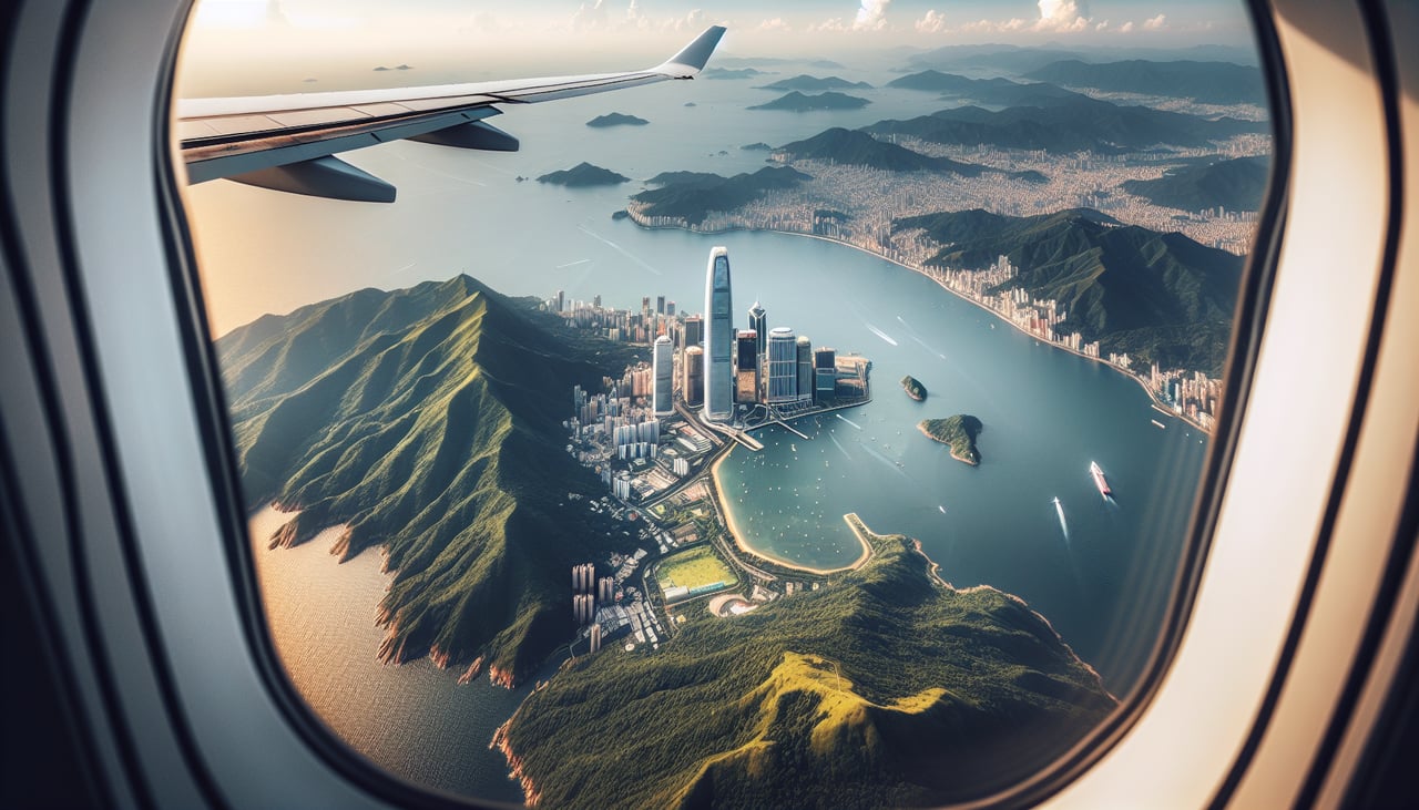
Takeoff from TPE
RIGHTRight-side seats capture the northbound climb over the Taiwan Strait and the dramatic eastern coast of Taiwan, including the Central Mountain Range rising sharply from sea level. The left side faces inland toward the Taipei basin with less dramatic relief.
Landing at MEB
LEFTLeft-side seats on descent into Melbourne offer views of Port Phillip Bay, the Dandenong Ranges, and the sprawling Melbourne metropolitan area. The right side faces the Tasman Sea with less distinctive features during final approach.
Will your flight be in sunlight?
Pick a date and time in the Sun Map to watch the sun move across your whole flight.
About This Route
Which side of the plane should I sit on flying from Chiang Kai Shek International (TPE) to Melbourne Essendon (MEB)?
Sit on the Left side of the plane for the best views on flights from Taipei to Melbourne. While the takeoff offers dramatic mountain scenery, the landing into Melbourne provides more varied and distinctive urban-geographic features (bay, ranges, city skyline) that occupy a larger portion of the descent. The overall flight path favors left-side seating for the most visually rewarding final approach.
What can I see during takeoff from Chiang Kai Shek International in Taipei?
During takeoff from Chiang Kai Shek International (TPE), sit on the Right side for the best views. Right-side seats capture the northbound climb over the Taiwan Strait and the dramatic eastern coast of Taiwan, including the Central Mountain Range rising sharply from sea level. The left side faces inland toward the Taipei basin with less dramatic relief. Notable sights include: Taiwan Strait (west), Central Mountain Range (east, snow-capped peaks visible on clear days), Taipei basin (south), Pacific coastline.
What can I see when landing at Melbourne Essendon in Melbourne?
When landing at Melbourne Essendon (MEB), sit on the Left side for the best views. Left-side seats on descent into Melbourne offer views of Port Phillip Bay, the Dandenong Ranges, and the sprawling Melbourne metropolitan area. The right side faces the Tasman Sea with less distinctive features during final approach. Notable sights include: Port Phillip Bay (distinctive enclosed water body), Dandenong Ranges (forested hills southeast of city), Melbourne CBD skyline, Yarra River valley.
How long is the flight from Taipei to Melbourne?
The flight from Chiang Kai Shek International (TPE) to Melbourne Essendon (MEB) takes about 8 hours 15 minutes. The shortest flight path between them is 4,603 miles (7,408 km); winds and air traffic control usually add a few percent.
What does the Taipei to Melbourne flight path pass over?
Luzon Strait (between Taiwan and Philippines), Philippine archipelago (Luzon visible on southern routes), Mindanao, Celebes Sea, Banda Sea, Timor Sea crossing, Australian continent approaching from northwest with Kimberley region visible, then descent toward Port Phillip Bay