Vancouver to Edmonton is 503 miles (809 km), a flight of about 1 hour 20 minutes.
The bulk of this flight's scenic value comes during cruise, when the route crosses the Coast Mountains, the Monashee/Cariboo ranges, and the Canadian Rockies near Mount Robson and Jasper — all of which sit north of the direct track and are visible on the left side for a sustained stretch. The right side's advantage is limited to the brief North Shore Mountains view at takeoff and a short river-valley glimpse on landing.
Flight Path
Coast Mountains, Monashee and Cariboo ranges, Canadian Rockies with Mount Robson and the Jasper corridor, transitioning into Alberta foothills and prairie
Great circle distance and headings ›
.jpg?width=600)


Phase by phase
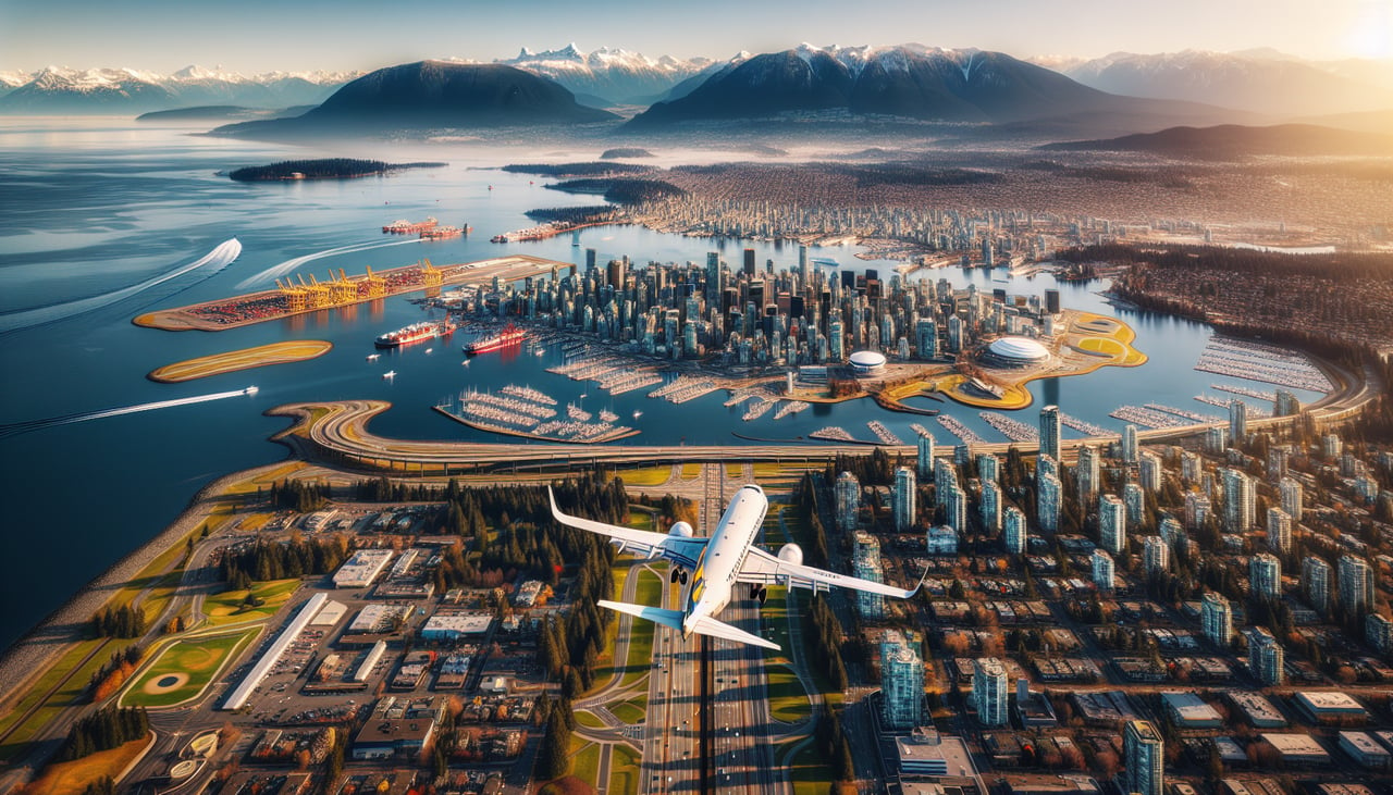
Takeoff from YVR
RIGHTDeparting YVR on runway 26 the aircraft initially climbs west over the Strait of Georgia, and before the turn onto the eastbound heading the right side looks straight across Burrard Inlet at the North Shore Mountains — Grouse, Seymour and Cypress rise abruptly right behind Vancouver. The left side over Richmond and the Fraser Delta is comparatively flat farmland.
Landing at YEG
RIGHTOn approach into YEG the flight path curves the aircraft over the North Saskatchewan River valley, whose forested ravine cuts a visible green gash through the otherwise flat prairie, with downtown Edmonton's modest skyline briefly visible to the right before the final turn to the runway. The left side shows only uniform section-line farmland.
Landmarks on this routeAll landmarks →
Will your flight be in sunlight?
Pick a date and time in the Sun Map to watch the sun move across your whole flight.
About This Route
Which side of the plane should I sit on flying from Vancouver International (YVR) to Edmonton International (YEG)?
Sit on the Left side of the plane for the best views on flights from Vancouver to Edmonton. The bulk of this flight's scenic value comes during cruise, when the route crosses the Coast Mountains, the Monashee/Cariboo ranges, and the Canadian Rockies near Mount Robson and Jasper — all of which sit north of the direct track and are visible on the left side for a sustained stretch. The right side's advantage is limited to the brief North Shore Mountains view at takeoff and a short river-valley glimpse on landing.
What can I see during takeoff from Vancouver International in Vancouver?
During takeoff from Vancouver International (YVR), sit on the Right side for the best views. Departing YVR on runway 26 the aircraft initially climbs west over the Strait of Georgia, and before the turn onto the eastbound heading the right side looks straight across Burrard Inlet at the North Shore Mountains — Grouse, Seymour and Cypress rise abruptly right behind Vancouver. The left side over Richmond and the Fraser Delta is comparatively flat farmland. Notable sights include: North Shore Mountains (Grouse, Seymour, Cypress), Burrard Inlet, downtown Vancouver skyline, Strait of Georgia.
What can I see when landing at Edmonton International in Edmonton?
When landing at Edmonton International (YEG), sit on the Right side for the best views. On approach into YEG the flight path curves the aircraft over the North Saskatchewan River valley, whose forested ravine cuts a visible green gash through the otherwise flat prairie, with downtown Edmonton's modest skyline briefly visible to the right before the final turn to the runway. The left side shows only uniform section-line farmland. Notable sights include: North Saskatchewan River valley, Edmonton downtown skyline, prairie grid farmland, river valley parks.
How long is the flight from Vancouver to Edmonton?
The flight from Vancouver International (YVR) to Edmonton International (YEG) takes about 1 hour 20 minutes. The shortest flight path between them is 503 miles (809 km); winds and air traffic control usually add a few percent.
What does the Vancouver to Edmonton flight path pass over?
Coast Mountains, Monashee and Cariboo ranges, Canadian Rockies with Mount Robson and the Jasper corridor, transitioning into Alberta foothills and prairie