Manzanillo to Calgary is 2,269 miles (3,651 km), a flight of about 4 hours 15 minutes.
While takeoff favors the right for coastal views, the landing approach dominates this flight. Left-side seats provide the most dramatic scenery during the final 90 minutes of flight as the Canadian Rockies come into view and grow progressively larger during descent.
Flight Path
Flight path crosses the Sierra Madre Occidental mountain range in Durango/Chihuahua states (visible around 1.5 hours into flight), then transitions to the high desert plateau of northern Mexico and southern New Mexico. The Rio Grande valley becomes visible in the final 90 minutes before entering U.S. airspace. The transition from tropical Pacific coast to high-altitude prairie is gradual but dramatic over the course of the flight.
Great circle distance and headings ›


.jpg?width=600)
.jpg?width=600)

Phase by phase
Takeoff from ZLO
RIGHTRight side captures the Pacific coastline and the Manzanillo Bay immediately after departure. Playa de Oro typically departs westbound or northwestbound, so right-side seats show the dramatic transition from coastal terrain to open ocean within the first 10-15 minutes of flight.
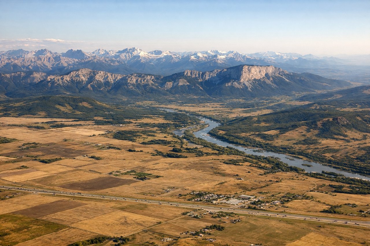
Landing at YYC
LEFTCalgary International typically uses runways 16/34 or 11/29. On approach from the southwest (which this route follows), left-side seats provide views of the Canadian Rockies and the Bow River valley. The Rocky Mountain front is the dominant visual feature during descent into YYC.
Landmarks on this routeAll landmarks →
Will your flight be in sunlight?
Pick a date and time in the Sun Map to watch the sun move across your whole flight.
About This Route
Which side of the plane should I sit on flying from Playa De Oro International (ZLO) to Calgary International (YYC)?
Sit on the Left side of the plane for the best views on flights from Manzanillo to Calgary. While takeoff favors the right for coastal views, the landing approach dominates this flight. Left-side seats provide the most dramatic scenery during the final 90 minutes of flight as the Canadian Rockies come into view and grow progressively larger during descent.
What can I see during takeoff from Playa De Oro International in Manzanillo?
During takeoff from Playa De Oro International (ZLO), sit on the Right side for the best views. Right side captures the Pacific coastline and the Manzanillo Bay immediately after departure. Playa de Oro typically departs westbound or northwestbound, so right-side seats show the dramatic transition from coastal terrain to open ocean within the first 10-15 minutes of flight. Notable sights include: Manzanillo Bay, Pacific Ocean, Sierra de Manantlán (inland to the southeast), Armería River delta.
What can I see when landing at Calgary International in Calgary?
When landing at Calgary International (YYC), sit on the Left side for the best views. Calgary International typically uses runways 16/34 or 11/29. On approach from the southwest (which this route follows), left-side seats provide views of the Canadian Rockies and the Bow River valley. The Rocky Mountain front is the dominant visual feature during descent into YYC. Notable sights include: Canadian Rocky Mountains (front range), Bow River valley, Calgary city grid, Nose Hill and surrounding foothills.
How long is the flight from Manzanillo to Calgary?
The flight from Playa De Oro International (ZLO) to Calgary International (YYC) takes about 4 hours 15 minutes. The shortest flight path between them is 2,269 miles (3,651 km); winds and air traffic control usually add a few percent.
What does the Manzanillo to Calgary flight path pass over?
Flight path crosses the Sierra Madre Occidental mountain range in Durango/Chihuahua states (visible around 1.5 hours into flight), then transitions to the high desert plateau of northern Mexico and southern New Mexico. The Rio Grande valley becomes visible in the final 90 minutes before entering U.S. airspace. The transition from tropical Pacific coast to high-altitude prairie is gradual but dramatic over the course of the flight.