While takeoff favors the left for Caribbean views, the landing approach into Quito's mountain basin is the more dramatic and geographically significant segment. Right seats provide superior views of the Andes approach, Pichincha, and the city's dramatic high-altitude setting—the visual highlight of this route.
Flight Path
The flight path crosses the Magdalena River valley inland from the coast, then transitions over the Pacific-facing western slopes of the Colombian Andes. You'll pass near or over the Cauca River valley and the departments of Cauca and Nariño. The terrain progressively rises from coastal lowlands (sea level) to high Andean plateaus (9,000+ feet). On clear days, you may glimpse Nevado del Ruiz or other snow-capped peaks in the central Colombian Andes during the northern portion of the flight, and the Ecuadorian highlands dominate the southern half as you approach Quito.
Great circle distance and headings ›


Phase by phase
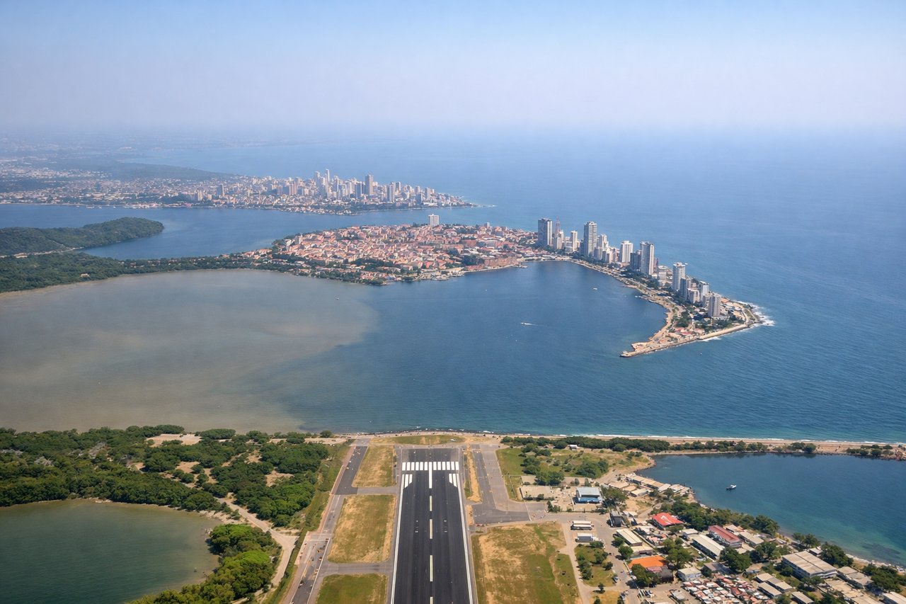
Takeoff from CTG
LEFTCTG typically departs runway 09/27 depending on wind. Westbound departures (runway 27) favor left seats for views of the Caribbean coastline, Cartagena's colonial old town, and the Rosario Islands archipelago as you climb out over the water.
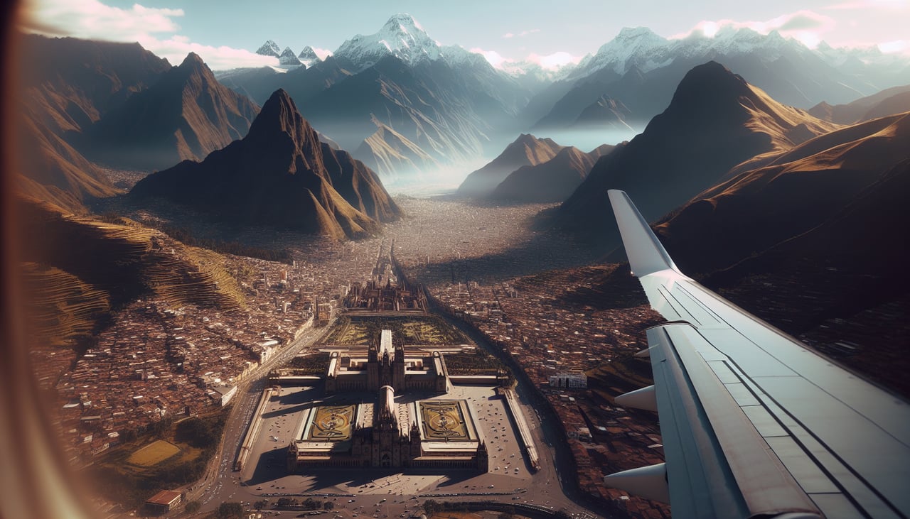
Landing at UIO
RIGHTUIO approaches from the north typically use runway 34L/16R or 34R/16L. Eastbound approaches (runway 34) favor right seats for views of the Andes peaks surrounding Quito, the high-altitude basin, and the city nestled at 9,350 feet elevation as you descend through the mountain corridor.
Landmarks on this routeAll landmarks →
Will your flight be in sunlight?
See exactly which side of the plane gets sun and shade at your departure time.
About This Route
Which side of the plane should I sit on flying from Rafael Nunez (CTG) to Mariscal Sucre International Airport (UIO)?
Sit on the Right side of the plane for the best views on flights from Cartagena to Quito. While takeoff favors the left for Caribbean views, the landing approach into Quito's mountain basin is the more dramatic and geographically significant segment. Right seats provide superior views of the Andes approach, Pichincha, and the city's dramatic high-altitude setting—the visual highlight of this route.
What can I see during takeoff from Rafael Nunez in Cartagena?
During takeoff from Rafael Nunez (CTG), sit on the Left side for the best views. CTG typically departs runway 09/27 depending on wind. Westbound departures (runway 27) favor left seats for views of the Caribbean coastline, Cartagena's colonial old town, and the Rosario Islands archipelago as you climb out over the water. Notable sights include: Caribbean Sea, Rosario Islands (Islas del Rosario), Cartagena Bay, Barranquilla coastal region to the southwest.
What can I see when landing at Mariscal Sucre International Airport in Quito?
When landing at Mariscal Sucre International Airport (UIO), sit on the Right side for the best views. UIO approaches from the north typically use runway 34L/16R or 34R/16L. Eastbound approaches (runway 34) favor right seats for views of the Andes peaks surrounding Quito, the high-altitude basin, and the city nestled at 9,350 feet elevation as you descend through the mountain corridor. Notable sights include: Pichincha volcano, Andes mountain range (eastern cordillera), Quito city basin, Cotopaxi volcano (distant, on clear days).
How long is the flight from Cartagena to Quito?
The flight from Rafael Nunez (CTG) to Mariscal Sucre International Airport (UIO) takes Approximately 2 hours 15 minutes to 2 hours 45 minutes.
What does the Cartagena to Quito flight path pass over?
The flight path crosses the Magdalena River valley inland from the coast, then transitions over the Pacific-facing western slopes of the Colombian Andes. You'll pass near or over the Cauca River valley and the departments of Cauca and Nariño. The terrain progressively rises from coastal lowlands (sea level) to high Andean plateaus (9,000+ feet). On clear days, you may glimpse Nevado del Ruiz or other snow-capped peaks in the central Colombian Andes during the northern portion of the flight, and the Ecuadorian highlands dominate the southern half as you approach Quito.