Sapporo to Memanbetsu is 146 miles (235 km), a flight of about 1 hour 15 minutes.
Right seats capture the most distinctive scenery: during takeoff, the transition from Sapporo's plain into Hokkaido's forested interior; during cruise, the volcanic plateau and forest landscape; and the approach offers adequate views of the Kushiro Wetlands complex. The northeast flight path favors the right side for the majority of the journey.
Flight Path
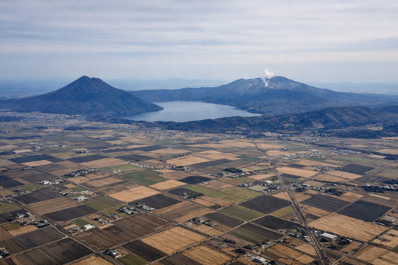
Akan volcanic plateau (forested highlands with subtle elevation changes), extensive coniferous forest canopy dominating central Hokkaido, scattered lakes and small reservoirs, transition from Ishikari Plain's agricultural character to Kushiro region's wetland and forest ecosystem
Great circle distance and headings ›Phase by phase
Takeoff from CTS
RIGHTClimbing northeast from Chitose, the right side offers views of the Ishikari Plain and the transition toward forested terrain. The left side faces back toward Sapporo's urban sprawl and offers less distinctive scenery during initial climb.
Landing at MMB
LEFTApproaching Memanbetsu from the southwest, the left side provides views of the Kushiro Wetlands and the transition from forested interior toward coastal terrain. The right side faces inland forest with less visual variety.
Will your flight be in sunlight?
Pick a date and time in the Sun Map to watch the sun move across your whole flight.
About This Route
Which side of the plane should I sit on flying from Chitose International Airport (CTS) to Memanbetsu (MMB)?
Sit on the Right side of the plane for the best views on flights from Sapporo to Memanbetsu. Right seats capture the most distinctive scenery: during takeoff, the transition from Sapporo's plain into Hokkaido's forested interior; during cruise, the volcanic plateau and forest landscape; and the approach offers adequate views of the Kushiro Wetlands complex. The northeast flight path favors the right side for the majority of the journey.
What can I see during takeoff from Chitose International Airport in Sapporo?
During takeoff from Chitose International Airport (CTS), sit on the Right side for the best views. Climbing northeast from Chitose, the right side offers views of the Ishikari Plain and the transition toward forested terrain. The left side faces back toward Sapporo's urban sprawl and offers less distinctive scenery during initial climb. Notable sights include: Ishikari Plain (agricultural lowlands), Sapporo city grid (receding behind), forested hills of central Hokkaido, Yufutsu wetlands (if visible at lower altitude).
What can I see when landing at Memanbetsu in Memanbetsu?
When landing at Memanbetsu (MMB), sit on the Left side for the best views. Approaching Memanbetsu from the southwest, the left side provides views of the Kushiro Wetlands and the transition from forested interior toward coastal terrain. The right side faces inland forest with less visual variety. Notable sights include: Kushiro Wetlands (extensive marshland visible as lighter patches), Akan volcanic plateau (forested highlands), Kushiro city (small urban area), Pacific coastline approaching Memanbetsu.
How long is the flight from Sapporo to Memanbetsu?
The flight from Chitose International Airport (CTS) to Memanbetsu (MMB) takes about 1 hour 15 minutes. The shortest flight path between them is 146 miles (235 km); winds and air traffic control usually add a few percent.
What does the Sapporo to Memanbetsu flight path pass over?
Akan volcanic plateau (forested highlands with subtle elevation changes), extensive coniferous forest canopy dominating central Hokkaido, scattered lakes and small reservoirs, transition from Ishikari Plain's agricultural character to Kushiro region's wetland and forest ecosystem