The left side scores higher due to the dramatic volcanic departure from Guatemala City and the sustained mountain scenery over Central America and Mexico during the cruise phase. While the right side offers the Appalachian approach into Dulles, the left side's combination of iconic volcanic peaks, highland terrain, and the Sierra Madre mountain chain visible during the first half of the flight provides greater visual drama and landmark density across the full journey.
Flown GUA to IAD? Did we get it right?
Flight Path
Guatemala City to Washington is 1,862 miles (2,996 km), a flight of about 4 hours 10 minutes.
Sierra Madre mountain range (Mexico), Yucatan Peninsula, Gulf of Mexico coastline, Mississippi River valley, Appalachian foothills
Great circle distance and headings ›

Phase by phase
Takeoff from GUA
LEFTGuatemala City sits in a highland valley surrounded by volcanic peaks. The left side captures the immediate departure over the Central American highlands, with views of the Guatemalan volcanic chain and the surrounding mountainous terrain that dominates the first 30 minutes of flight.
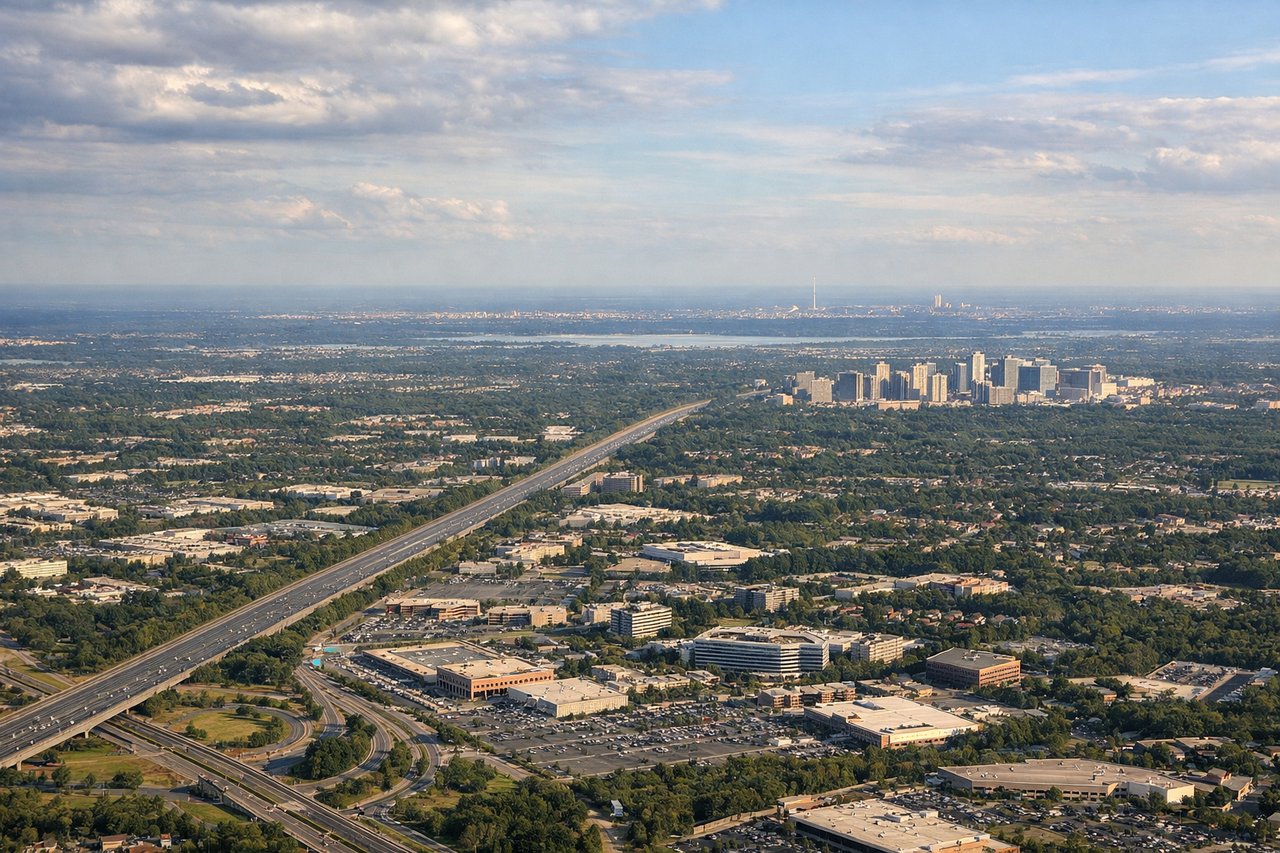
Landing at IAD
RIGHTThe right side captures the approach into Washington Dulles over the Appalachian foothills and the Potomac River valley. The final descent provides views of the Blue Ridge Mountains, the Shenandoah Valley, and the urban sprawl of the Washington metropolitan area, offering more varied terrain and recognizable landmarks than the left side's Atlantic coastal approach.
Will your flight be in sunlight?
Pick a date and time in the Sun Map to watch the sun move across your whole flight.
About This Route
Which side of the plane should I sit on flying from La Aurora (GUA) to Washington Dulles International (IAD)?
Sit on the Left side of the plane for the best views on flights from Guatemala City to Washington. The left side scores higher due to the dramatic volcanic departure from Guatemala City and the sustained mountain scenery over Central America and Mexico during the cruise phase. While the right side offers the Appalachian approach into Dulles, the left side's combination of iconic volcanic peaks, highland terrain, and the Sierra Madre mountain chain visible during the first half of the flight provides greater visual drama and landmark density across the full journey.
What can I see during takeoff from La Aurora in Guatemala City?
During takeoff from La Aurora (GUA), sit on the Left side for the best views. Guatemala City sits in a highland valley surrounded by volcanic peaks. The left side captures the immediate departure over the Central American highlands, with views of the Guatemalan volcanic chain and the surrounding mountainous terrain that dominates the first 30 minutes of flight. Notable sights include: Volcán de Agua (3,760 m), Volcán de Fuego, Volcán Acatenango, Lake Atitlán basin.
What can I see when landing at Washington Dulles International in Washington?
When landing at Washington Dulles International (IAD), sit on the Right side for the best views. The right side captures the approach into Washington Dulles over the Appalachian foothills and the Potomac River valley. The final descent provides views of the Blue Ridge Mountains, the Shenandoah Valley, and the urban sprawl of the Washington metropolitan area, offering more varied terrain and recognizable landmarks than the left side's Atlantic coastal approach. Notable sights include: Blue Ridge Mountains, Shenandoah Valley, Potomac River, Washington D.C. metropolitan area.
How long is the flight from Guatemala City to Washington?
The flight from La Aurora (GUA) to Washington Dulles International (IAD) takes about 4 hours 10 minutes. The shortest flight path between them is 1,862 miles (2,996 km); winds and air traffic control usually add a few percent.
What does the Guatemala City to Washington flight path pass over?
Sierra Madre mountain range (Mexico), Yucatan Peninsula, Gulf of Mexico coastline, Mississippi River valley, Appalachian foothills