Tokyo to Kanazawa is 198 miles (318 km), a flight of about 1 hour.
Right side delivers the best views at both ends — Tokyo Bay on departure and Hakusan on approach — and during the cruise over the Kanto plain and Japan Alps, the right side faces generally north toward the higher terrain of the Northern Alps (Hida Mountains), giving better mountain views than the left.
Flight Path
The flight crosses the Kanto plain west of Tokyo, then climbs over or near the Chichibu-Tama-Kai highlands, before crossing the spine of Honshu through the Hida Mountains (Northern Japan Alps). Lake Suwa may be visible in Nagano Prefecture. The descent drops into the narrow coastal strip between the Alps and the Sea of Japan near Ishikawa Prefecture.
Great circle distance and headings ›

Phase by phase
Takeoff from HND
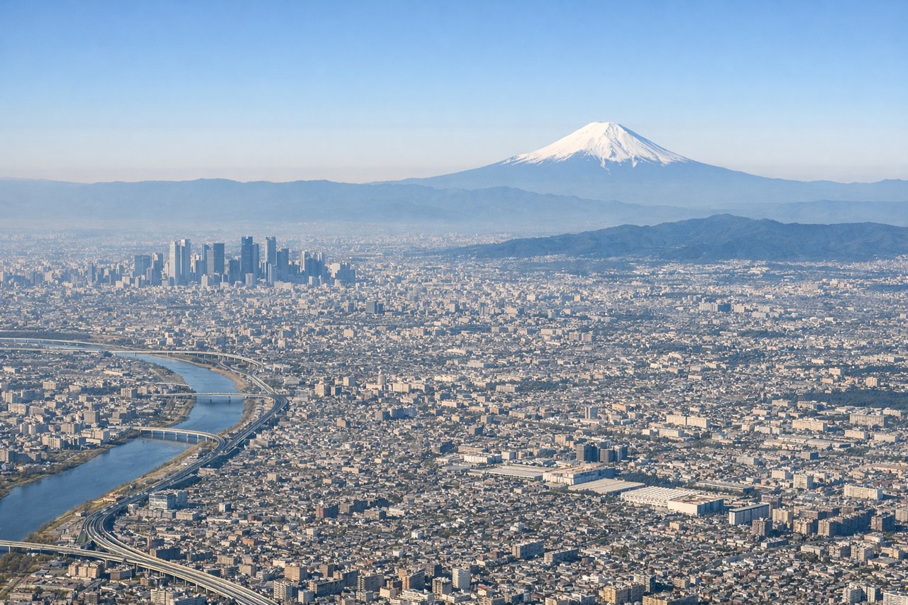
RIGHTHND typically departs runway 34R/34L heading northwest, which puts Tokyo Bay and the city sprawl on your right (east). You get a clear view of the bay's geometry, the reclaimed land of Odaiba, and the dense urban grid of central Tokyo before the aircraft turns west toward the Japan Alps.
Landing at KMQ
RIGHTKomatsu typically lands on runway 06/24, with approaches often from the Sea of Japan side. On a right-side seat during the approach from the west, you face inland and get a clear view of the Hakusan massif rising above the Kaga plain, which is the dominant visual feature of this arrival.
Landmarks on this routeAll landmarks →
Will your flight be in sunlight?
Pick a date and time in the Sun Map to watch the sun move across your whole flight.
About This Route
Which side of the plane should I sit on flying from Tokyo International (HND) to Komatsu (KMQ)?
Sit on the Right side of the plane for the best views on flights from Tokyo to Kanazawa. Right side delivers the best views at both ends — Tokyo Bay on departure and Hakusan on approach — and during the cruise over the Kanto plain and Japan Alps, the right side faces generally north toward the higher terrain of the Northern Alps (Hida Mountains), giving better mountain views than the left.
What can I see during takeoff from Tokyo International in Tokyo?
During takeoff from Tokyo International (HND), sit on the Right side for the best views. HND typically departs runway 34R/34L heading northwest, which puts Tokyo Bay and the city sprawl on your right (east). You get a clear view of the bay's geometry, the reclaimed land of Odaiba, and the dense urban grid of central Tokyo before the aircraft turns west toward the Japan Alps. Notable sights include: Tokyo Bay, Odaiba reclaimed island district, Rainbow Bridge area, central Tokyo urban grid.
What can I see when landing at Komatsu in Kanazawa?
When landing at Komatsu (KMQ), sit on the Right side for the best views. Komatsu typically lands on runway 06/24, with approaches often from the Sea of Japan side. On a right-side seat during the approach from the west, you face inland and get a clear view of the Hakusan massif rising above the Kaga plain, which is the dominant visual feature of this arrival. Notable sights include: Hakusan (2,702m), Kaga coastal plain, Komatsu city grid, Sea of Japan coastline.
How long is the flight from Tokyo to Kanazawa?
The flight from Tokyo International (HND) to Komatsu (KMQ) takes about 1 hour. The shortest flight path between them is 198 miles (318 km); winds and air traffic control usually add a few percent.
What does the Tokyo to Kanazawa flight path pass over?
The flight crosses the Kanto plain west of Tokyo, then climbs over or near the Chichibu-Tama-Kai highlands, before crossing the spine of Honshu through the Hida Mountains (Northern Japan Alps). Lake Suwa may be visible in Nagano Prefecture. The descent drops into the narrow coastal strip between the Alps and the Sea of Japan near Ishikawa Prefecture.