Takeoff views from the right side are more visually rewarding than landing views from the left. Tokyo Bay and the Boso Peninsula offer greater geographic variety and visual interest than the Lake Ontario approach, making the outbound journey the scenic highlight.
Flight Path
The flight crosses the North Pacific Ocean with no significant landmarks visible for approximately 8 hours. The route passes north of the Hawaiian Islands (not visible from typical cruise altitude and flight path), then approaches North America over the Aleutian Islands region. As the aircraft descends toward Toronto, the Canadian Shield landscape becomes visible—a vast expanse of boreal forest, lakes, and rocky terrain across northern Ontario and Quebec. The Great Lakes region emerges approximately 1 hour before landing, with Lake Superior and Lake Michigan visible to the south of the flight path depending on exact routing.
Great circle distance and headings ›


Phase by phase
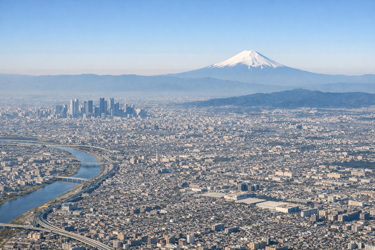
Takeoff from HND
RIGHTRight side seats offer views of Tokyo Bay, the Boso Peninsula, and the Kanto Plain spreading eastward. Left side faces inland toward the Kanto Mountains, which are less visually distinctive at altitude.
Landing at YTZ
LEFTLeft side provides views of Lake Ontario, the Toronto Islands, and the downtown skyline during approach. Right side faces toward the Greater Toronto Area suburbs with less distinctive visual features.
Landmarks on this routeAll landmarks →
Will your flight be in sunlight?
See exactly which side of the plane gets sun and shade at your departure time.
About This Route
Which side of the plane should I sit on flying from Tokyo International (HND) to City Centre (YTZ)?
Sit on the Right side of the plane for the best views on flights from Tokyo to Toronto. Takeoff views from the right side are more visually rewarding than landing views from the left. Tokyo Bay and the Boso Peninsula offer greater geographic variety and visual interest than the Lake Ontario approach, making the outbound journey the scenic highlight.
What can I see during takeoff from Tokyo International in Tokyo?
During takeoff from Tokyo International (HND), sit on the Right side for the best views. Right side seats offer views of Tokyo Bay, the Boso Peninsula, and the Kanto Plain spreading eastward. Left side faces inland toward the Kanto Mountains, which are less visually distinctive at altitude. Notable sights include: Tokyo Bay (immediate departure corridor), Boso Peninsula (eastern shore), Chiba Prefecture urban sprawl, Pacific Ocean horizon.
What can I see when landing at City Centre in Toronto?
When landing at City Centre (YTZ), sit on the Left side for the best views. Left side provides views of Lake Ontario, the Toronto Islands, and the downtown skyline during approach. Right side faces toward the Greater Toronto Area suburbs with less distinctive visual features. Notable sights include: Lake Ontario (dominant water body), Toronto Islands (visible as green strips in the lake), Toronto downtown core (cluster of tall buildings), Scarborough Bluffs (eastern shoreline).
How long is the flight from Tokyo to Toronto?
The flight from Tokyo International (HND) to City Centre (YTZ) takes 11h 25m.
What does the Tokyo to Toronto flight path pass over?
The flight crosses the North Pacific Ocean with no significant landmarks visible for approximately 8 hours. The route passes north of the Hawaiian Islands (not visible from typical cruise altitude and flight path), then approaches North America over the Aleutian Islands region. As the aircraft descends toward Toronto, the Canadian Shield landscape becomes visible—a vast expanse of boreal forest, lakes, and rocky terrain across northern Ontario and Quebec. The Great Lakes region emerges approximately 1 hour before landing, with Lake Superior and Lake Michigan visible to the south of the flight path depending on exact routing.