The left side wins on both ends of the flight — a scenic Honolulu departure with mountains and harbor views, and a dramatic Alaska approach featuring Cook Inlet, Mount Susitna, and potentially Denali. The right side is dominated by hours of open Pacific Ocean with no comparable landmarks.
Flight Path
Open North Pacific Ocean with no land visible for most of the cruise; the route passes well offshore of the North American coastline before approaching the Gulf of Alaska.
Great circle distance and headings ›

Phase by phase
Takeoff from HNL
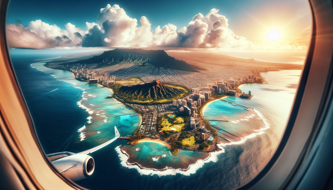
LEFTDeparting HNL on the Reef Runway toward the east, the aircraft banks north on its climb-out toward Alaska, putting Honolulu's skyline, Pearl Harbor, and the green ridges of the Ko'olau Range on the left side of the plane. The right side only shows open ocean during this turn.
Landing at ANC
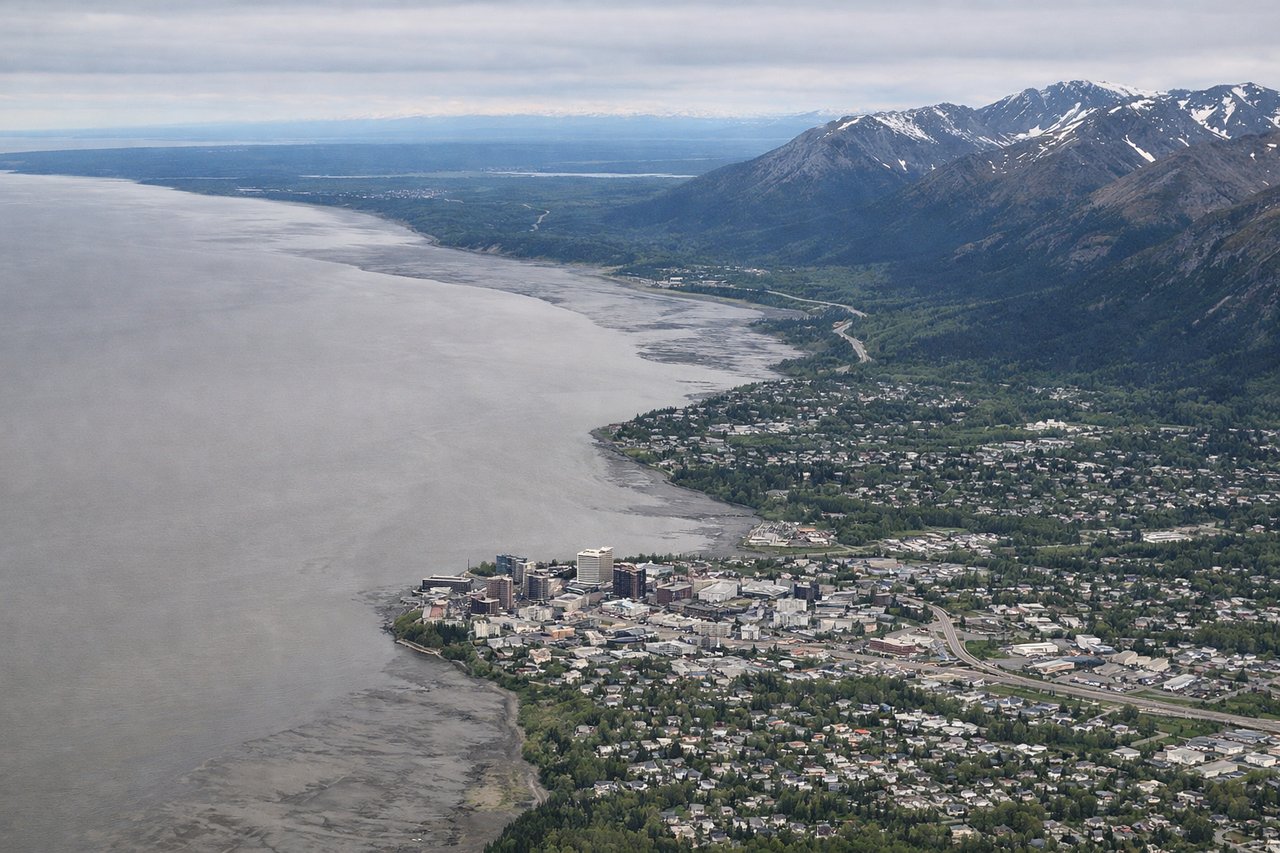
LEFTOn approach to ANC from the south, the aircraft tracks up Cook Inlet before turning onto the east-west runways, and the left side faces north toward Anchorage's skyline with the Susitna River valley and, on clear days, Denali visible far in the distance. The right side mostly shows the Chugach foothills close to the runway with less depth of view.
Landmarks on this routeAll landmarks →
Will your flight be in sunlight?
See exactly which side of the plane gets sun and shade at your departure time.
About This Route
Which side of the plane should I sit on flying from Honolulu International (HNL) to Ted Stevens Anchorage International (ANC)?
Sit on the Left side of the plane for the best views on flights from Honolulu to Anchorage. The left side wins on both ends of the flight — a scenic Honolulu departure with mountains and harbor views, and a dramatic Alaska approach featuring Cook Inlet, Mount Susitna, and potentially Denali. The right side is dominated by hours of open Pacific Ocean with no comparable landmarks.
What can I see during takeoff from Honolulu International in Honolulu?
During takeoff from Honolulu International (HNL), sit on the Left side for the best views. Departing HNL on the Reef Runway toward the east, the aircraft banks north on its climb-out toward Alaska, putting Honolulu's skyline, Pearl Harbor, and the green ridges of the Ko'olau Range on the left side of the plane. The right side only shows open ocean during this turn. Notable sights include: Diamond Head, Pearl Harbor, Ko'olau Range, downtown Honolulu.
What can I see when landing at Ted Stevens Anchorage International in Anchorage?
When landing at Ted Stevens Anchorage International (ANC), sit on the Left side for the best views. On approach to ANC from the south, the aircraft tracks up Cook Inlet before turning onto the east-west runways, and the left side faces north toward Anchorage's skyline with the Susitna River valley and, on clear days, Denali visible far in the distance. The right side mostly shows the Chugach foothills close to the runway with less depth of view. Notable sights include: Cook Inlet, Mount Susitna, Anchorage skyline, Denali (on clear days).
How long is the flight from Honolulu to Anchorage?
The flight from Honolulu International (HNL) to Ted Stevens Anchorage International (ANC) takes 6h 35m.
What does the Honolulu to Anchorage flight path pass over?
Open North Pacific Ocean with no land visible for most of the cruise; the route passes well offshore of the North American coastline before approaching the Gulf of Alaska.