The right side captures the volcanic terrain of Iceland at departure, the ice cap and fjords of southern Greenland during cruise, and the dramatic Front Range on arrival into Denver, giving it far more visual variety and drama than the ocean- and plains-dominated left side.
Flight Path
The great-circle path arcs north over the Labrador Sea, passing near southern Greenland's ice cap and the rugged coast of Baffin Island/Labrador before crossing Hudson Bay and the Canadian Shield lake country en route to the Great Plains.
Great circle distance and headings ›Phase by phase
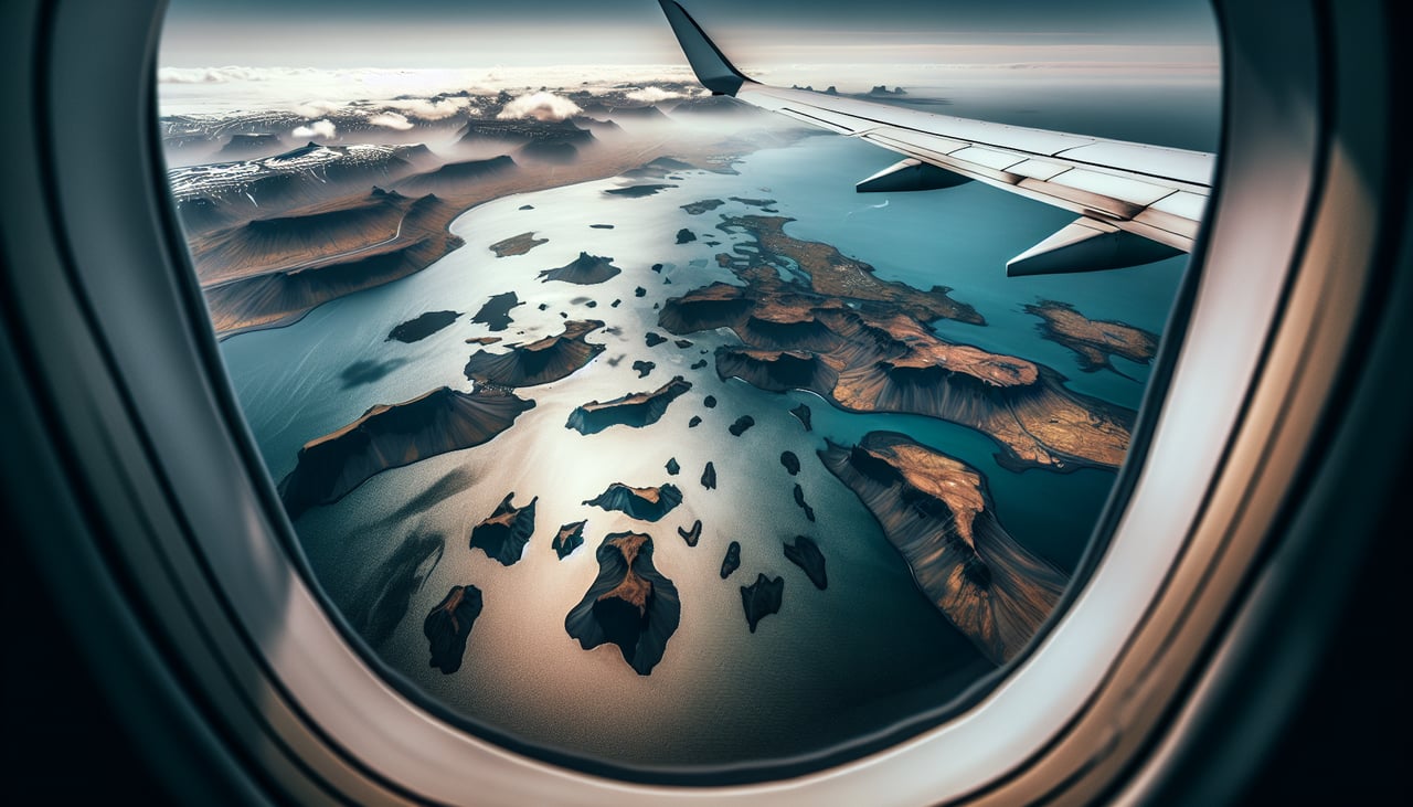
Takeoff from KEF
RIGHTDeparting KEF, the aircraft typically climbs out on runway 19 and banks right onto its westbound routing toward Greenland, putting the Reykjanes Peninsula's black lava fields, volcanic craters, and rugged coastline directly under the right-side windows.
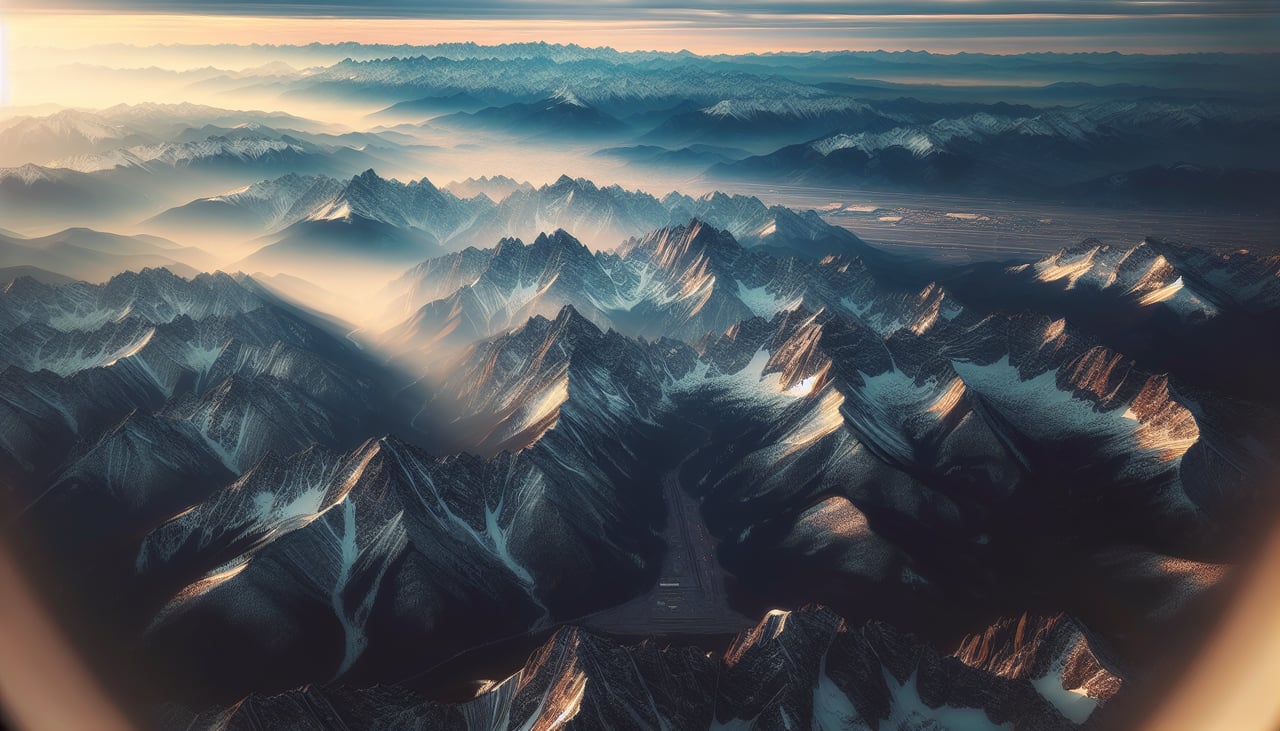
Landing at DEN
RIGHTWith Denver's prevailing southerly winds, arrivals often land on the north-south 17-series runways after a descent from the north, meaning the final approach heading is roughly south — placing the Front Range of the Rockies squarely on the right side of the aircraft.
Landmarks on this routeAll landmarks →
Will your flight be in sunlight?
See exactly which side of the plane gets sun and shade at your departure time.
About This Route
Which side of the plane should I sit on flying from Keflavik Nas (KEF) to Denver International (DEN)?
Sit on the Right side of the plane for the best views on flights from Keflavik to Denver. The right side captures the volcanic terrain of Iceland at departure, the ice cap and fjords of southern Greenland during cruise, and the dramatic Front Range on arrival into Denver, giving it far more visual variety and drama than the ocean- and plains-dominated left side.
What can I see during takeoff from Keflavik Nas in Keflavik?
During takeoff from Keflavik Nas (KEF), sit on the Right side for the best views. Departing KEF, the aircraft typically climbs out on runway 19 and banks right onto its westbound routing toward Greenland, putting the Reykjanes Peninsula's black lava fields, volcanic craters, and rugged coastline directly under the right-side windows. Notable sights include: Reykjanes Peninsula lava fields, Keflavik coastline, geothermal steam vents, Atlantic shoreline.
What can I see when landing at Denver International in Denver?
When landing at Denver International (DEN), sit on the Right side for the best views. With Denver's prevailing southerly winds, arrivals often land on the north-south 17-series runways after a descent from the north, meaning the final approach heading is roughly south — placing the Front Range of the Rockies squarely on the right side of the aircraft. Notable sights include: Front Range foothills, Longs Peak area, Denver metro sprawl, high plains of eastern Colorado.
How long is the flight from Keflavik to Denver?
The flight from Keflavik Nas (KEF) to Denver International (DEN) takes 7h 45m.
What does the Keflavik to Denver flight path pass over?
The great-circle path arcs north over the Labrador Sea, passing near southern Greenland's ice cap and the rugged coast of Baffin Island/Labrador before crossing Hudson Bay and the Canadian Shield lake country en route to the Great Plains.