Keflavik to Detroit is 2,785 miles (4,482 km), a flight of about 7 hours 15 minutes.
While takeoff favors the right for Iceland's volcanic landscape, the landing approach over the Great Lakes system is more visually distinctive and geographically significant. Left-side seats capture the dramatic water features of the Detroit region during descent, which outweighs the takeoff advantage.
Flight Path
The flight path crosses the North Atlantic at high latitude, passing south of Greenland (typically visible as distant ice sheet on clear days around 4-5 hours into flight), then over the Canadian Maritime provinces and the Great Lakes region. The Atlantic crossing offers minimal landmarks—open ocean dominates. Labrador and Newfoundland appear as low, dark landmasses if visible through cloud cover. The approach to North America brings the St. Lawrence River valley and Great Lakes into view.
Great circle distance and headings ›Phase by phase
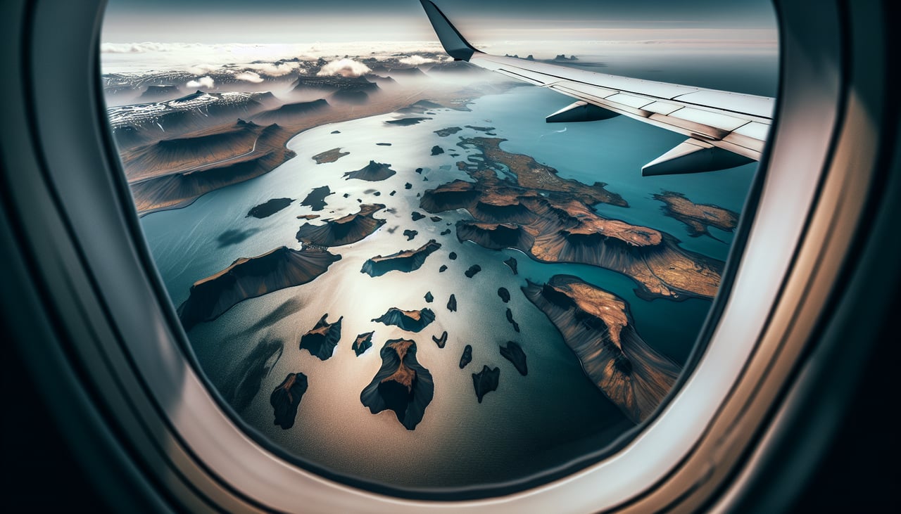
Takeoff from KEF
RIGHTKEF typically departs runway 02 (northbound) or 20 (southbound). Right-side seats offer views of Iceland's southwestern coast and the Reykjanes Peninsula's volcanic terrain during climb-out. Left side faces inland toward less dramatic features.
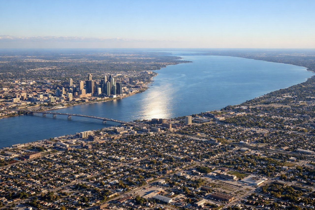
Landing at DTW
LEFTDTW typically lands runway 03R/21L or 03L/21R depending on wind. Left-side seats during approach from the northeast offer views of the Great Lakes region—specifically Lake St. Clair and the Detroit River system. Right side faces inland toward less distinctive terrain.
Landmarks on this routeAll landmarks →
Will your flight be in sunlight?
Pick a date and time in the Sun Map to watch the sun move across your whole flight.
About This Route
Which side of the plane should I sit on flying from Keflavik Nas (KEF) to Detroit Metro Wayne Co (DTW)?
Sit on the Left side of the plane for the best views on flights from Keflavik to Detroit. While takeoff favors the right for Iceland's volcanic landscape, the landing approach over the Great Lakes system is more visually distinctive and geographically significant. Left-side seats capture the dramatic water features of the Detroit region during descent, which outweighs the takeoff advantage.
What can I see during takeoff from Keflavik Nas in Keflavik?
During takeoff from Keflavik Nas (KEF), sit on the Right side for the best views. KEF typically departs runway 02 (northbound) or 20 (southbound). Right-side seats offer views of Iceland's southwestern coast and the Reykjanes Peninsula's volcanic terrain during climb-out. Left side faces inland toward less dramatic features. Notable sights include: Reykjanes Peninsula lava fields (dark volcanic rock visible as textured terrain), Atlantic Ocean to the west, Fagradalsfjall volcanic system (recent eruption area with distinctive cone), small settlements of Keflavik and Reykjanesbær below.
What can I see when landing at Detroit Metro Wayne Co in Detroit?
When landing at Detroit Metro Wayne Co (DTW), sit on the Left side for the best views. DTW typically lands runway 03R/21L or 03L/21R depending on wind. Left-side seats during approach from the northeast offer views of the Great Lakes region—specifically Lake St. Clair and the Detroit River system. Right side faces inland toward less distinctive terrain. Notable sights include: Lake St. Clair (large freshwater body with visible shipping channels), Detroit River (narrow waterway connecting Great Lakes), Windsor, Ontario across the border, Detroit metropolitan sprawl with visible highway networks.
How long is the flight from Keflavik to Detroit?
The flight from Keflavik Nas (KEF) to Detroit Metro Wayne Co (DTW) takes about 7 hours 15 minutes. The shortest flight path between them is 2,785 miles (4,482 km); winds and air traffic control usually add a few percent.
What does the Keflavik to Detroit flight path pass over?
The flight path crosses the North Atlantic at high latitude, passing south of Greenland (typically visible as distant ice sheet on clear days around 4-5 hours into flight), then over the Canadian Maritime provinces and the Great Lakes region. The Atlantic crossing offers minimal landmarks—open ocean dominates. Labrador and Newfoundland appear as low, dark landmasses if visible through cloud cover. The approach to North America brings the St. Lawrence River valley and Great Lakes into view.