The right side delivers the most memorable moments of the flight: Kobe's skyline and Mount Rokko during the KIX departure turn, and central Seoul's skyline along the Han River on the Gimpo approach, while the left side spends more time over open water and flatter terrain.
Flight Path
Tsushima Strait (Korea Strait) crossing, with Tsushima Island often visible below on clear days before the route continues north over the southern Korean coastline toward Seoul.
Great circle distance and headings ›Phase by phase
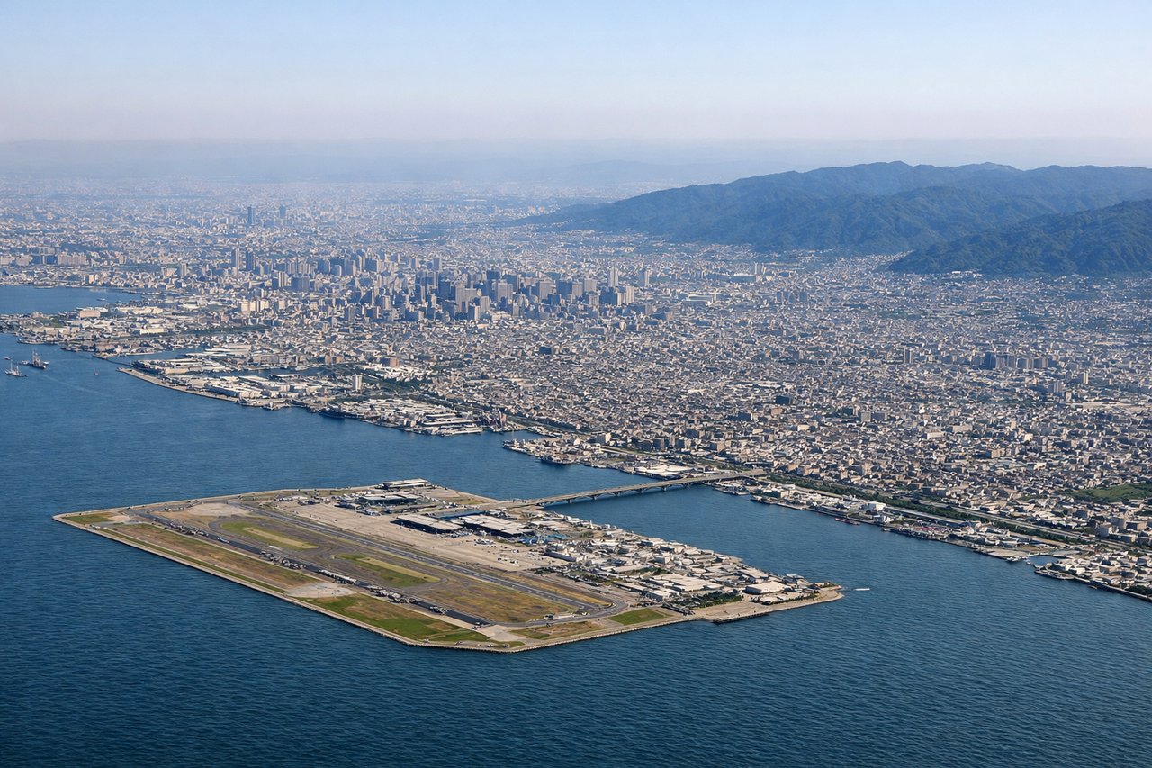
Takeoff from KIX
RIGHTDeparting KIX on runway 24, the aircraft climbs southwest over Osaka Bay before banking right toward Korea, and that turn puts Kobe's skyline, Mount Rokko, and the Akashi Strait right outside the right-side windows. The left side mostly shows open bay water and the hazier Kii Peninsula coastline.
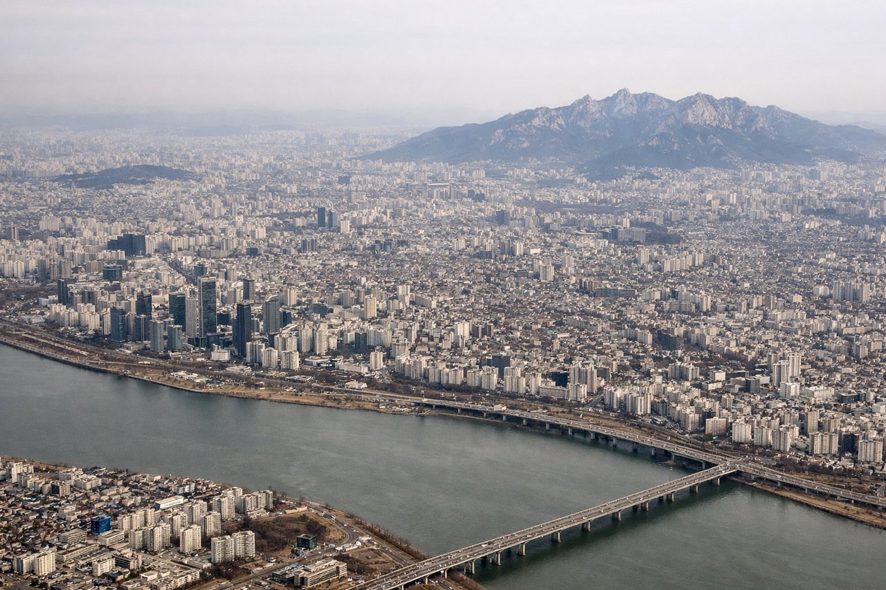
Landing at GMP
RIGHTThe approach into Gimpo comes up from the southeast, and on the final descent the right side faces north across the Han River toward central Seoul, giving a good look at the Gangnam and Yeouido skylines including Lotte World Tower. The left side mainly shows flatter Gyeonggi suburbs and the Yellow Sea coast toward Incheon.
Will your flight be in sunlight?
See exactly which side of the plane gets sun and shade at your departure time.
About This Route
Which side of the plane should I sit on flying from Kansai International (KIX) to Gimpo (GMP)?
Sit on the Right side of the plane for the best views on flights from Osaka to Seoul. The right side delivers the most memorable moments of the flight: Kobe's skyline and Mount Rokko during the KIX departure turn, and central Seoul's skyline along the Han River on the Gimpo approach, while the left side spends more time over open water and flatter terrain.
What can I see during takeoff from Kansai International in Osaka?
During takeoff from Kansai International (KIX), sit on the Right side for the best views. Departing KIX on runway 24, the aircraft climbs southwest over Osaka Bay before banking right toward Korea, and that turn puts Kobe's skyline, Mount Rokko, and the Akashi Strait right outside the right-side windows. The left side mostly shows open bay water and the hazier Kii Peninsula coastline. Notable sights include: Osaka Bay, Kobe city skyline, Mount Rokko, Akashi Kaikyo Bridge to Awaji Island.
What can I see when landing at Gimpo in Seoul?
When landing at Gimpo (GMP), sit on the Right side for the best views. The approach into Gimpo comes up from the southeast, and on the final descent the right side faces north across the Han River toward central Seoul, giving a good look at the Gangnam and Yeouido skylines including Lotte World Tower. The left side mainly shows flatter Gyeonggi suburbs and the Yellow Sea coast toward Incheon. Notable sights include: Han River, Seoul skyline (Lotte World Tower, Yeouido), Namsan/N Seoul Tower, Gimpo's riverside approach lights.
How long is the flight from Osaka to Seoul?
The flight from Kansai International (KIX) to Gimpo (GMP) takes 1h50m.
What does the Osaka to Seoul flight path pass over?
Tsushima Strait (Korea Strait) crossing, with Tsushima Island often visible below on clear days before the route continues north over the southern Korean coastline toward Seoul.