Right-side seats capture the dramatic volcanic landscape and Kona coast during departure, and while left wins on landing, the takeoff view of Hualalai and the western Big Island is more visually distinctive than the approach corridor.
Flight Path
The flight path crosses the North Pacific at roughly 40-42°N latitude. No major landmarks are visible during the midpoint cruise phase—the route passes over open ocean between Hawaii and the North American coast. As the aircraft approaches the Pacific Northwest, the Cascade Range becomes visible on the eastern horizon roughly 100 miles before Vancouver, with Mount Rainier (14,411 ft) and Mount Hood (11,240 ft) appearing as distant snow-capped peaks. The Georgia Strait and Strait of Juan de Fuca become visible 40-50 miles before landing, with the Olympic Mountains visible to the south and the North Cascades to the east.
Great circle distance and headings ›

Phase by phase
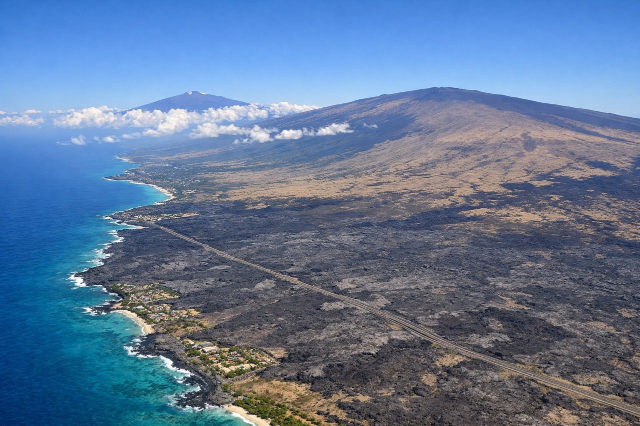
Takeoff from KOA
RIGHTKOA typically departs to the north or northeast. Right-side seats offer views of the Big Island's west coast and the volcanic landscape, while left seats face inland toward the island's interior.
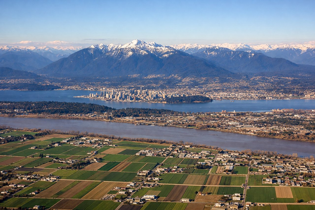
Landing at YVR
LEFTApproaching KOA from the north typically uses northbound runways. Left-side seats provide views of the descent path over the Kona coast, showing the approach over the Pacific and the coastal landscape coming into focus.
Landmarks on this routeAll landmarks →
Will your flight be in sunlight?
See exactly which side of the plane gets sun and shade at your departure time.
About This Route
Which side of the plane should I sit on flying from Kona International At Keahole (KOA) to Vancouver International (YVR)?
Sit on the Right side of the plane for the best views on flights from Kona to Vancouver. Right-side seats capture the dramatic volcanic landscape and Kona coast during departure, and while left wins on landing, the takeoff view of Hualalai and the western Big Island is more visually distinctive than the approach corridor.
What can I see during takeoff from Kona International At Keahole in Kona?
During takeoff from Kona International At Keahole (KOA), sit on the Right side for the best views. KOA typically departs to the north or northeast. Right-side seats offer views of the Big Island's west coast and the volcanic landscape, while left seats face inland toward the island's interior. Notable sights include: Hualalai volcano (5,104 ft, visible as the dark volcanic cone immediately south of the airport), Kailua-Kona town along the coast, the Kona coast's black lava fields extending south, and the Pacific Ocean to the west.
What can I see when landing at Vancouver International in Vancouver?
When landing at Vancouver International (YVR), sit on the Left side for the best views. Approaching KOA from the north typically uses northbound runways. Left-side seats provide views of the descent path over the Kona coast, showing the approach over the Pacific and the coastal landscape coming into focus. Notable sights include: The Pacific Ocean approach corridor, Kailua-Kona town and harbor, Hualalai volcano's western slopes, and the black lava fields of the Kona coast.
How long is the flight from Kona to Vancouver?
The flight from Kona International At Keahole (KOA) to Vancouver International (YVR) takes Approximately 5 hours 15 minutes.
What does the Kona to Vancouver flight path pass over?
The flight path crosses the North Pacific at roughly 40-42°N latitude. No major landmarks are visible during the midpoint cruise phase—the route passes over open ocean between Hawaii and the North American coast. As the aircraft approaches the Pacific Northwest, the Cascade Range becomes visible on the eastern horizon roughly 100 miles before Vancouver, with Mount Rainier (14,411 ft) and Mount Hood (11,240 ft) appearing as distant snow-capped peaks. The Georgia Strait and Strait of Juan de Fuca become visible 40-50 miles before landing, with the Olympic Mountains visible to the south and the North Cascades to the east.