The right side offers a sustained, colorful view of Kauai's coastline during the turning climb-out, while the left side's best moment is a brief Pearl Harbor flyover just before touchdown; overall the right side delivers more consistent scenery across the short flight.
Flight Path
Open water crossing of the Kauai Channel, with Oahu's Kaena Point and north shore coastline coming into view ahead as the island approaches.
Great circle distance and headings ›

Phase by phase

Takeoff from LIH
RIGHTDeparting Lihue on runway 03 heads northeast, but the aircraft banks right to turn onto course for Oahu, swinging Kauai's southeastern coast into view on that side. Passengers see Nawiliwili Harbor, Kalapaki Bay, and the green Haupu Ridge falling away as the plane climbs, while the left side faces empty sky and ocean.
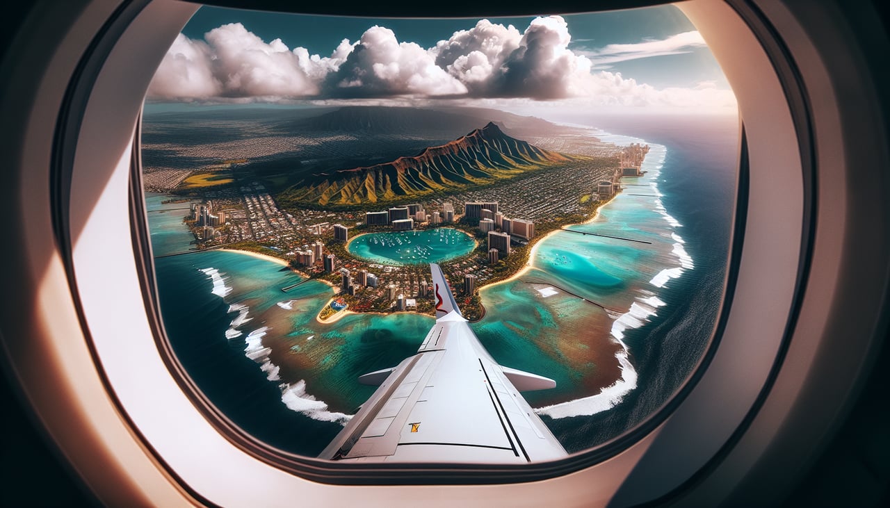
Landing at HNL
LEFTOn the approach into Honolulu from the northwest, the flight path passes just north of the runway complex, putting Pearl Harbor's distinctive lochs and Ford Island directly on the left side of the aircraft during final descent. This is a much more distinctive close-in feature than the open ocean and distant south shore visible on the right.
Landmarks on this routeAll landmarks →
Will your flight be in sunlight?
See exactly which side of the plane gets sun and shade at your departure time.
About This Route
Which side of the plane should I sit on flying from Lihue (LIH) to Honolulu International (HNL)?
Sit on the Right side of the plane for the best views on flights from Lihue to Honolulu. The right side offers a sustained, colorful view of Kauai's coastline during the turning climb-out, while the left side's best moment is a brief Pearl Harbor flyover just before touchdown; overall the right side delivers more consistent scenery across the short flight.
What can I see during takeoff from Lihue in Lihue?
During takeoff from Lihue (LIH), sit on the Right side for the best views. Departing Lihue on runway 03 heads northeast, but the aircraft banks right to turn onto course for Oahu, swinging Kauai's southeastern coast into view on that side. Passengers see Nawiliwili Harbor, Kalapaki Bay, and the green Haupu Ridge falling away as the plane climbs, while the left side faces empty sky and ocean. Notable sights include: Nawiliwili Harbor, Kalapaki Bay, Haupu Ridge (Hoary Head Mountains), Lihue town.
What can I see when landing at Honolulu International in Honolulu?
When landing at Honolulu International (HNL), sit on the Left side for the best views. On the approach into Honolulu from the northwest, the flight path passes just north of the runway complex, putting Pearl Harbor's distinctive lochs and Ford Island directly on the left side of the aircraft during final descent. This is a much more distinctive close-in feature than the open ocean and distant south shore visible on the right. Notable sights include: Pearl Harbor and its lochs, Ford Island, USS Arizona Memorial area, Waianae Mountains on the distant horizon.
How long is the flight from Lihue to Honolulu?
The flight from Lihue (LIH) to Honolulu International (HNL) takes 0h 35m.
What does the Lihue to Honolulu flight path pass over?
Open water crossing of the Kauai Channel, with Oahu's Kaena Point and north shore coastline coming into view ahead as the island approaches.