The right side wins on the strength of a rare, unobstructed Mount Fuji view during departure, a landmark few flights offer so directly, while the left side's island-and-city approach into Cebu is scenic but slightly less dramatic overall.
Flight Path
Open Philippine Sea east of Taiwan, with the Ryukyu Islands chain occasionally visible far to the west during clear conditions before the route continues south toward Luzon.
Great circle distance and headings ›Phase by phase
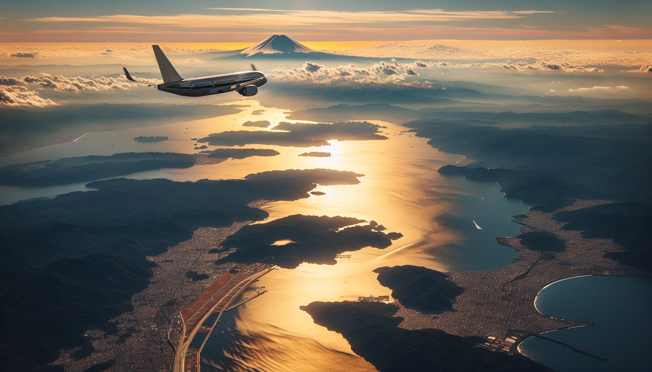
Takeoff from NRT
RIGHTDeparting NRT to the south, the aircraft banks southwest toward the Philippines, putting Mount Fuji's iconic snow-capped cone on the right side in clear weather, along with the Boso Peninsula coastline and Tokyo Bay's urban sprawl receding behind.
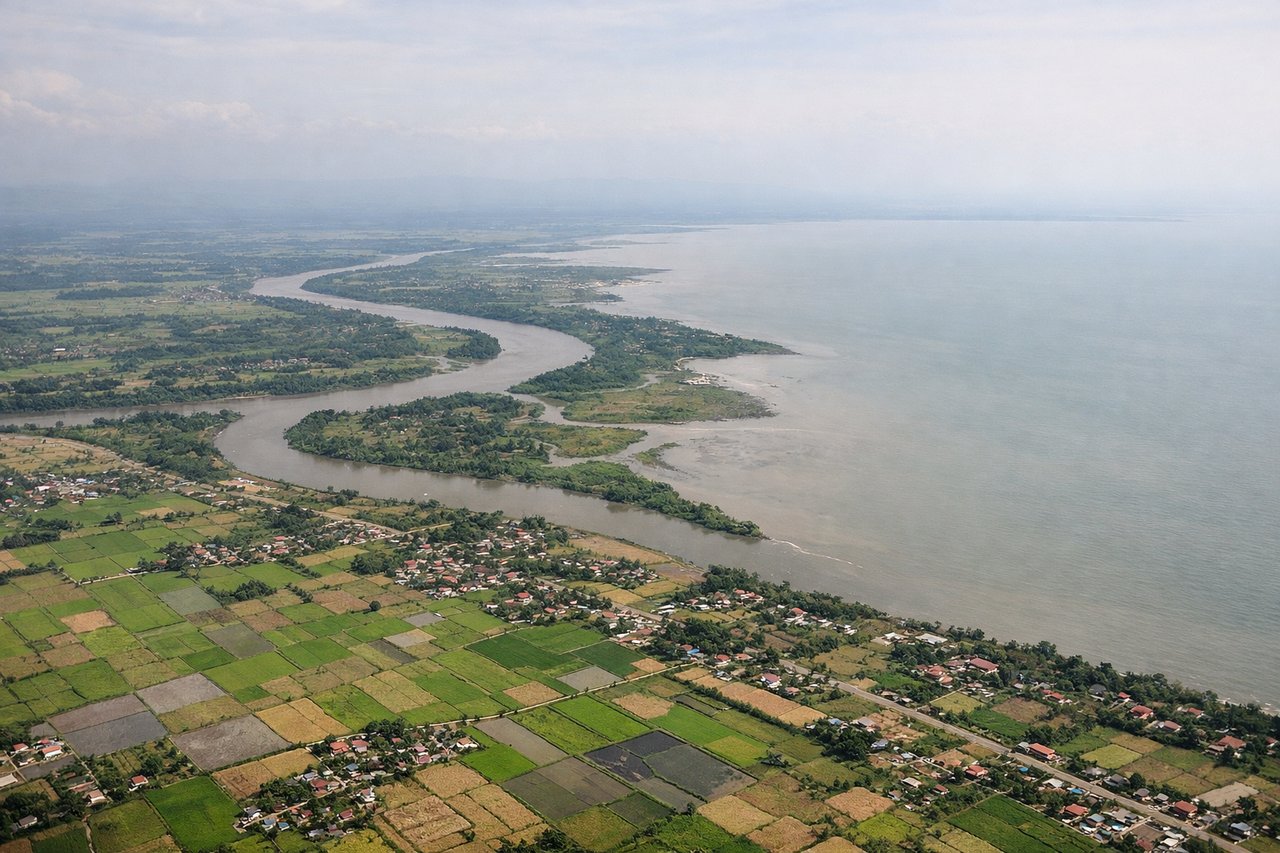
Landing at CEB
LEFTOn approach into Mactan-Cebu from the north, the left side offers views over the Camotes Sea and the scattered limestone islands of the central Visayas, followed by Cebu City's dense skyline and the Cebu-Mactan channel just before touchdown.
Landmarks on this routeAll landmarks →
Will your flight be in sunlight?
See exactly which side of the plane gets sun and shade at your departure time.
About This Route
Which side of the plane should I sit on flying from New Tokyo International (NRT) to Mactan Cebu International Airport (CEB)?
Sit on the Right side of the plane for the best views on flights from Tokyo to Cebu. The right side wins on the strength of a rare, unobstructed Mount Fuji view during departure, a landmark few flights offer so directly, while the left side's island-and-city approach into Cebu is scenic but slightly less dramatic overall.
What can I see during takeoff from New Tokyo International in Tokyo?
During takeoff from New Tokyo International (NRT), sit on the Right side for the best views. Departing NRT to the south, the aircraft banks southwest toward the Philippines, putting Mount Fuji's iconic snow-capped cone on the right side in clear weather, along with the Boso Peninsula coastline and Tokyo Bay's urban sprawl receding behind. Notable sights include: Mount Fuji, Tokyo Bay, Boso Peninsula coastline, Sagami Bay.
What can I see when landing at Mactan Cebu International Airport in Cebu?
When landing at Mactan Cebu International Airport (CEB), sit on the Left side for the best views. On approach into Mactan-Cebu from the north, the left side offers views over the Camotes Sea and the scattered limestone islands of the central Visayas, followed by Cebu City's dense skyline and the Cebu-Mactan channel just before touchdown. Notable sights include: Camotes Islands, Cebu Strait, Cebu City skyline, Olango Island.
How long is the flight from Tokyo to Cebu?
The flight from New Tokyo International (NRT) to Mactan Cebu International Airport (CEB) takes 4h55m.
What does the Tokyo to Cebu flight path pass over?
Open Philippine Sea east of Taiwan, with the Ryukyu Islands chain occasionally visible far to the west during clear conditions before the route continues south toward Luzon.