Right side scores higher (3.0 vs 2.5) because it captures water features and urban density at both takeoff and landing. Tokyo Bay and Dalian Harbor provide visual interest and landmark recognition that left-side inland views cannot match. The route itself is relatively short and flat, limiting dramatic terrain; water and cities are the primary scenic assets.
Flown NRT to DLC? Did we get it right?
Flight Path
Tokyo to Dalian is 1,056 miles (1,700 km), a flight of about 2 hours 15 minutes.
East China Sea crossing (open water, minimal landmarks); Shandong Peninsula visible to the south on clear days; transition from Japanese airspace to Chinese airspace over the sea; no major mountain ranges or dramatic terrain along the direct route
Great circle distance and headings ›Phase by phase
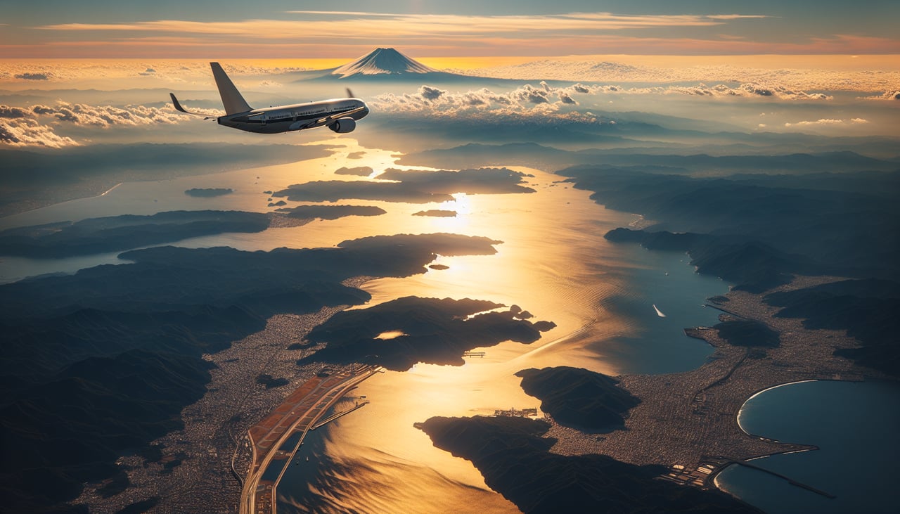
Takeoff from NRT
RIGHTRight side captures Tokyo Bay and the Kanto Plain during northerly-wind departures (runway 34), offering urban density and water features. Left side sees inland Kanto farmland and distant mountains—less dramatic for the initial climb phase.
Landing at DLC
RIGHTRight side (north-facing approach to runway 10 or south-facing to runway 28) reveals Dalian's Liaodong Peninsula coastline, Dalian Harbor, and the city's waterfront development. Left side shows inland Liaoning Province—flat, industrial, and less visually distinctive.
Will your flight be in sunlight?
Pick a date and time in the Sun Map to watch the sun move across your whole flight.
About This Route
Which side of the plane should I sit on flying from New Tokyo International (NRT) to Zhoushuizi (DLC)?
Sit on the Right side of the plane for the best views on flights from Tokyo to Dalian. Right side scores higher (3.0 vs 2.5) because it captures water features and urban density at both takeoff and landing. Tokyo Bay and Dalian Harbor provide visual interest and landmark recognition that left-side inland views cannot match. The route itself is relatively short and flat, limiting dramatic terrain; water and cities are the primary scenic assets.
What can I see during takeoff from New Tokyo International in Tokyo?
During takeoff from New Tokyo International (NRT), sit on the Right side for the best views. Right side captures Tokyo Bay and the Kanto Plain during northerly-wind departures (runway 34), offering urban density and water features. Left side sees inland Kanto farmland and distant mountains—less dramatic for the initial climb phase. Notable sights include: Tokyo Bay with Chiba Peninsula, Narita Express corridor and surrounding urban sprawl, Mount Fuji (distant, weather-dependent).
What can I see when landing at Zhoushuizi in Dalian?
When landing at Zhoushuizi (DLC), sit on the Right side for the best views. Right side (north-facing approach to runway 10 or south-facing to runway 28) reveals Dalian's Liaodong Peninsula coastline, Dalian Harbor, and the city's waterfront development. Left side shows inland Liaoning Province—flat, industrial, and less visually distinctive. Notable sights include: Dalian Harbor and port facilities, Liaodong Peninsula rocky coastline, Dalian city skyline and waterfront districts, Yellow Sea.
How long is the flight from Tokyo to Dalian?
The flight from New Tokyo International (NRT) to Zhoushuizi (DLC) takes about 2 hours 15 minutes. The shortest flight path between them is 1,056 miles (1,700 km); winds and air traffic control usually add a few percent.
What does the Tokyo to Dalian flight path pass over?
East China Sea crossing (open water, minimal landmarks); Shandong Peninsula visible to the south on clear days; transition from Japanese airspace to Chinese airspace over the sea; no major mountain ranges or dramatic terrain along the direct route