Right-side seats capture the most dramatic scenery: Tokyo Bay and Mount Fuji during takeoff, then the Echigo Mountains and Shinano River valley during descent. The left side offers good landing views but misses the iconic Tokyo Bay departure.
Flown NRT to KIJ? Did we get it right?
Flight Path
Tokyo to Niigata is 167 miles (268 km), a flight of about 1 hour 10 minutes.
The flight path travels northwest over the Kanto Plain, passing east of the Izu Peninsula and Hakone Mountains. The Fuji volcanic zone lies to the west (left) of the typical flight corridor. As the aircraft climbs to cruise altitude, the Kanto Plain gradually gives way to more mountainous terrain. The Echigo Mountains become increasingly visible on the left (west) side as the aircraft approaches Niigata from the south. The Shinano River valley becomes prominent during descent, marking the final approach to Niigata Airport.
Great circle distance and headings ›Phase by phase
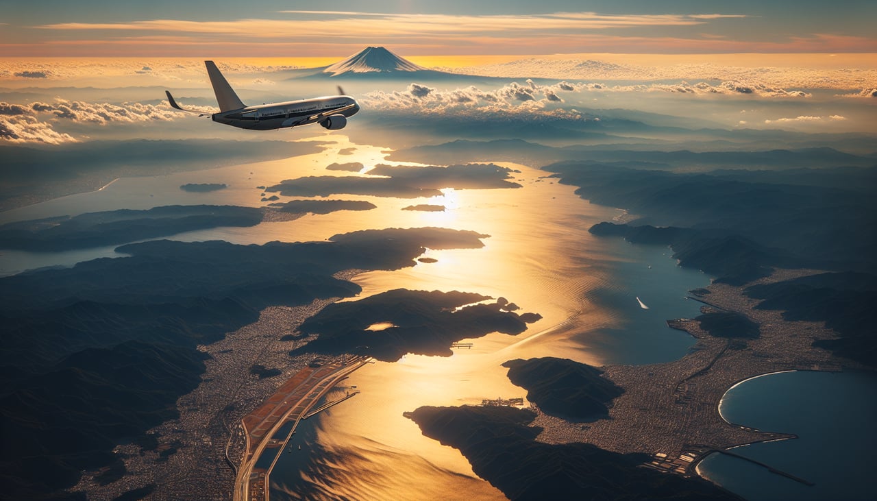
Takeoff from NRT
RIGHTRight-side seats offer views of Tokyo Bay and the Kanto Plain as the aircraft climbs northwestward. You'll see the bay's distinctive shape and the urban sprawl of greater Tokyo receding below.
Landing at KIJ
LEFTLeft-side seats provide excellent views during descent into Niigata. You'll see the Echigo Mountains to the west and the Shinano River delta as the aircraft approaches from the south.
Will your flight be in sunlight?
Pick a date and time in the Sun Map to watch the sun move across your whole flight.
About This Route
Which side of the plane should I sit on flying from New Tokyo International (NRT) to Niigata Airport (KIJ)?
Sit on the Right side of the plane for the best views on flights from Tokyo to Niigata. Right-side seats capture the most dramatic scenery: Tokyo Bay and Mount Fuji during takeoff, then the Echigo Mountains and Shinano River valley during descent. The left side offers good landing views but misses the iconic Tokyo Bay departure.
What can I see during takeoff from New Tokyo International in Tokyo?
During takeoff from New Tokyo International (NRT), sit on the Right side for the best views. Right-side seats offer views of Tokyo Bay and the Kanto Plain as the aircraft climbs northwestward. You'll see the bay's distinctive shape and the urban sprawl of greater Tokyo receding below. Notable sights include: Tokyo Bay, Kanto Plain urban grid, Chiba Peninsula to the east, Mount Fuji (distant, on clear days).
What can I see when landing at Niigata Airport in Niigata?
When landing at Niigata Airport (KIJ), sit on the Left side for the best views. Left-side seats provide excellent views during descent into Niigata. You'll see the Echigo Mountains to the west and the Shinano River delta as the aircraft approaches from the south. Notable sights include: Shinano River and delta, Echigo Mountains (western range), Niigata city and waterfront, Japan Sea coastline.
How long is the flight from Tokyo to Niigata?
The flight from New Tokyo International (NRT) to Niigata Airport (KIJ) takes about 1 hour 10 minutes. The shortest flight path between them is 167 miles (268 km); winds and air traffic control usually add a few percent.
What does the Tokyo to Niigata flight path pass over?
The flight path travels northwest over the Kanto Plain, passing east of the Izu Peninsula and Hakone Mountains. The Fuji volcanic zone lies to the west (left) of the typical flight corridor. As the aircraft climbs to cruise altitude, the Kanto Plain gradually gives way to more mountainous terrain. The Echigo Mountains become increasingly visible on the left (west) side as the aircraft approaches Niigata from the south. The Shinano River valley becomes prominent during descent, marking the final approach to Niigata Airport.