The right side offers the more dramatic and iconic view with Mount Fuji visible during climb-out, while both sides face nearly ten hours of open Pacific and Coral Sea during cruise with little to see. The Fuji sighting gives the right side a slight edge over the Melbourne bay glimpse on landing.
Flown NRT to MEB? Did we get it right?
Flight Path
Tokyo to Melbourne is 5,086 miles (8,186 km), a flight of about 9 hours 35 minutes.
Mostly open ocean over the Philippine Sea and Coral Sea, passing east of the Philippines and north of Papua New Guinea, with no significant landmarks visible from cruising altitude for most of the route.
Great circle distance and headings ›

Phase by phase
Takeoff from NRT
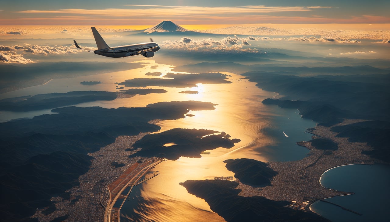
RIGHTDeparting Narita southbound on runway 16, the right side faces west, giving passengers a good chance to spot Mount Fuji's snow-capped cone rising above the Kanto plain as the aircraft climbs. The left side only shows the flatter Boso Peninsula and open Pacific.
Landing at MEB
LEFTOn approach to Essendon from the east toward runway 26, the aircraft descends over Melbourne's northern suburbs before turning final, and the left side faces south toward Port Phillip Bay and the Melbourne CBD skyline. The right side only shows flat inland plains.
Will your flight be in sunlight?
Pick a date and time in the Sun Map to watch the sun move across your whole flight.
About This Route
Which side of the plane should I sit on flying from New Tokyo International (NRT) to Melbourne Essendon (MEB)?
Sit on the Right side of the plane for the best views on flights from Tokyo to Melbourne. The right side offers the more dramatic and iconic view with Mount Fuji visible during climb-out, while both sides face nearly ten hours of open Pacific and Coral Sea during cruise with little to see. The Fuji sighting gives the right side a slight edge over the Melbourne bay glimpse on landing.
What can I see during takeoff from New Tokyo International in Tokyo?
During takeoff from New Tokyo International (NRT), sit on the Right side for the best views. Departing Narita southbound on runway 16, the right side faces west, giving passengers a good chance to spot Mount Fuji's snow-capped cone rising above the Kanto plain as the aircraft climbs. The left side only shows the flatter Boso Peninsula and open Pacific. Notable sights include: Mount Fuji, Kanto Plain farmland, Tokyo Bay's western shoreline.
What can I see when landing at Melbourne Essendon in Melbourne?
When landing at Melbourne Essendon (MEB), sit on the Left side for the best views. On approach to Essendon from the east toward runway 26, the aircraft descends over Melbourne's northern suburbs before turning final, and the left side faces south toward Port Phillip Bay and the Melbourne CBD skyline. The right side only shows flat inland plains. Notable sights include: Melbourne CBD skyline, Port Phillip Bay, Yarra River corridor.
How long is the flight from Tokyo to Melbourne?
The flight from New Tokyo International (NRT) to Melbourne Essendon (MEB) takes about 9 hours 35 minutes. The shortest flight path between them is 5,086 miles (8,186 km); winds and air traffic control usually add a few percent.
What does the Tokyo to Melbourne flight path pass over?
Mostly open ocean over the Philippine Sea and Coral Sea, passing east of the Philippines and north of Papua New Guinea, with no significant landmarks visible from cruising altitude for most of the route.