Right side scores 3.5 versus left's 2.5 due to superior water features and urban scenery on both legs. Takeoff offers Tokyo Bay and industrial Chiba; landing provides the Sea of Marmara and Bosphorus strait views. Left side remains dominated by flat, featureless plains throughout the flight. Right-side passengers experience more geographic variety and recognizable landmarks.
Flown NRT to SAW? Did we get it right?
Flight Path
Tokyo to Pendik, Istanbul is 5,574 miles (8,970 km), a flight of about 11 hours 20 minutes.
Central Asian steppe (Kazakhstan and Uzbekistan), Caspian Sea's eastern shore, Caucasus Mountains (distant southern horizon), Aral Sea region, Turkmen plateau, Iranian highlands to the south
Great circle distance and headings ›


Phase by phase
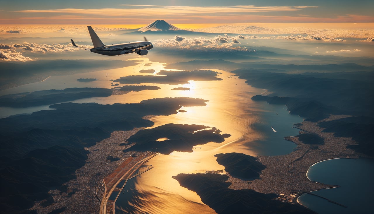
Takeoff from NRT
RIGHTRight side captures Tokyo Bay and the Kanto Plain during departure. Depending on runway use (16L/16R southbound or 34L/34R northbound), right-side passengers see either the urban sprawl of greater Tokyo or the bay's eastern shoreline. Left side faces inland toward flat agricultural plains with minimal visual interest.
Landing at SAW
RIGHTRight side offers superior approach scenery into Istanbul Sabiha Gökçen. Depending on wind direction, aircraft typically approach from the northeast (runway 06) or southwest (runway 24). Right-side passengers see the Sea of Marmara, the Bosphorus strait's southern reaches, and the Anatolian plateau's rolling terrain. Left side faces the interior Anatolian steppe with minimal distinctive features during descent.
Will your flight be in sunlight?
Pick a date and time in the Sun Map to watch the sun move across your whole flight.
About This Route
Which side of the plane should I sit on flying from New Tokyo International (NRT) to Istanbul Sabiha Gökçen International Airport (SAW)?
Sit on the Right side of the plane for the best views on flights from Tokyo to Pendik, Istanbul. Right side scores 3.5 versus left's 2.5 due to superior water features and urban scenery on both legs. Takeoff offers Tokyo Bay and industrial Chiba; landing provides the Sea of Marmara and Bosphorus strait views. Left side remains dominated by flat, featureless plains throughout the flight. Right-side passengers experience more geographic variety and recognizable landmarks.
What can I see during takeoff from New Tokyo International in Tokyo?
During takeoff from New Tokyo International (NRT), sit on the Right side for the best views. Right side captures Tokyo Bay and the Kanto Plain during departure. Depending on runway use (16L/16R southbound or 34L/34R northbound), right-side passengers see either the urban sprawl of greater Tokyo or the bay's eastern shoreline. Left side faces inland toward flat agricultural plains with minimal visual interest. Notable sights include: Tokyo Bay, Chiba Prefecture industrial zone, Narita Express corridor, Kanto Plain extending inland.
What can I see when landing at Istanbul Sabiha Gökçen International Airport in Pendik, Istanbul?
When landing at Istanbul Sabiha Gökçen International Airport (SAW), sit on the Right side for the best views. Right side offers superior approach scenery into Istanbul Sabiha Gökçen. Depending on wind direction, aircraft typically approach from the northeast (runway 06) or southwest (runway 24). Right-side passengers see the Sea of Marmara, the Bosphorus strait's southern reaches, and the Anatolian plateau's rolling terrain. Left side faces the interior Anatolian steppe with minimal distinctive features during descent. Notable sights include: Sea of Marmara, Bosphorus strait (southern section), Pendik waterfront, Anatolian plateau terrain.
How long is the flight from Tokyo to Pendik, Istanbul?
The flight from New Tokyo International (NRT) to Istanbul Sabiha Gökçen International Airport (SAW) takes about 11 hours 20 minutes. The shortest flight path between them is 5,574 miles (8,970 km); winds and air traffic control usually add a few percent.
What does the Tokyo to Pendik, Istanbul flight path pass over?
Central Asian steppe (Kazakhstan and Uzbekistan), Caspian Sea's eastern shore, Caucasus Mountains (distant southern horizon), Aral Sea region, Turkmen plateau, Iranian highlands to the south