Both sides score equally low (1.5) because this is a short 1h 45m flight over predominantly flat terrain with minimal dramatic geography. However, the right side edges ahead slightly during landing with views of the Arkansas River valley and Wichita's urban grid during approach, whereas the left side offers only featureless prairie. Neither side provides scenic distinction; this route prioritizes efficiency over views.
Flown PHX to ICT? Did we get it right?
Flight Path
Phoenix to Wichita is 869 miles (1,398 km), a flight of about 1 hour 45 minutes.
The flight path crosses the Texas Panhandle and Oklahoma Panhandle at cruise altitude (approximately 25,000-28,000 feet), passing over flat grassland and prairie with no significant mountains, water features, or urban centers. The Canadian River valley may be visible as a subtle linear feature in the landscape, but at cruise altitude it appears as a thin line with minimal visual impact. No major landmarks interrupt the monotonous terrain between Phoenix and Wichita.
Great circle distance and headings ›Phase by phase
Takeoff from PHX
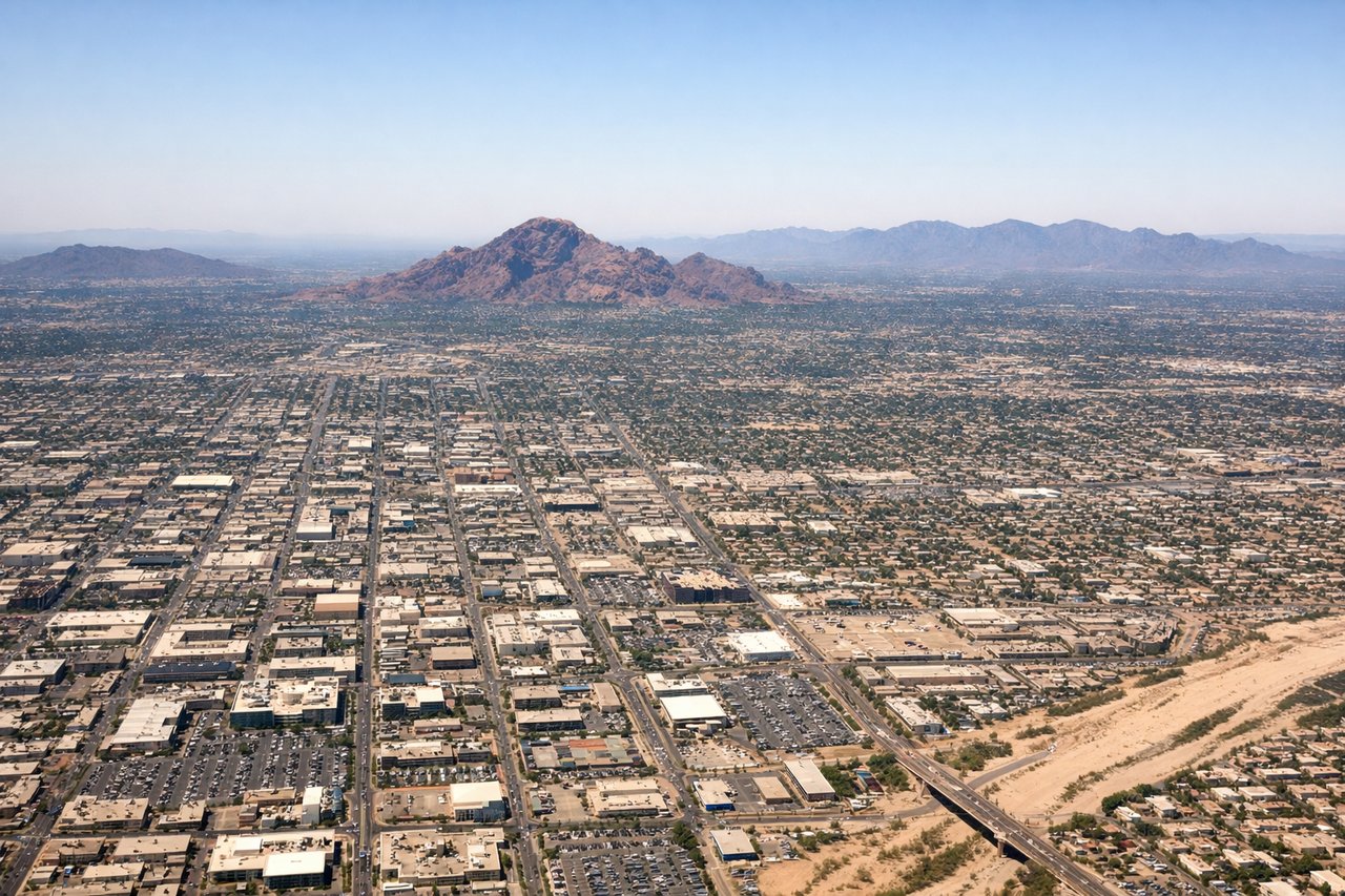
LEFTLeft side (north) offers brief views of Phoenix's urban sprawl and the distant McDowell Mountains before the aircraft turns eastbound. Right side (south) faces open desert with minimal landmarks during initial climb.
Landing at ICT
RIGHTRight side (north) during approach to ICT provides views of the Arkansas River valley and Wichita's northern suburbs as the aircraft descends toward runway 19R. Left side (south) faces open prairie with no significant landmarks.
Will your flight be in sunlight?
Pick a date and time in the Sun Map to watch the sun move across your whole flight.
About This Route
Which side of the plane should I sit on flying from Phoenix Sky Harbor International (PHX) to Wichita Mid Continent (ICT)?
Sit on the Right side of the plane for the best views on flights from Phoenix to Wichita. Both sides score equally low (1.5) because this is a short 1h 45m flight over predominantly flat terrain with minimal dramatic geography. However, the right side edges ahead slightly during landing with views of the Arkansas River valley and Wichita's urban grid during approach, whereas the left side offers only featureless prairie. Neither side provides scenic distinction; this route prioritizes efficiency over views.
What can I see during takeoff from Phoenix Sky Harbor International in Phoenix?
During takeoff from Phoenix Sky Harbor International (PHX), sit on the Left side for the best views. Left side (north) offers brief views of Phoenix's urban sprawl and the distant McDowell Mountains before the aircraft turns eastbound. Right side (south) faces open desert with minimal landmarks during initial climb. Notable sights include: Phoenix metropolitan area, McDowell Mountains (distant northeast), Salt River valley, open Sonoran Desert to the south.
What can I see when landing at Wichita Mid Continent in Wichita?
When landing at Wichita Mid Continent (ICT), sit on the Right side for the best views. Right side (north) during approach to ICT provides views of the Arkansas River valley and Wichita's northern suburbs as the aircraft descends toward runway 19R. Left side (south) faces open prairie with no significant landmarks. Notable sights include: Arkansas River valley, Wichita metropolitan area (northern districts), flat Kansas prairie, Sedgwick County terrain.
How long is the flight from Phoenix to Wichita?
The flight from Phoenix Sky Harbor International (PHX) to Wichita Mid Continent (ICT) takes about 1 hour 45 minutes. The shortest flight path between them is 869 miles (1,398 km); winds and air traffic control usually add a few percent.
What does the Phoenix to Wichita flight path pass over?
The flight path crosses the Texas Panhandle and Oklahoma Panhandle at cruise altitude (approximately 25,000-28,000 feet), passing over flat grassland and prairie with no significant mountains, water features, or urban centers. The Canadian River valley may be visible as a subtle linear feature in the landscape, but at cruise altitude it appears as a thin line with minimal visual impact. No major landmarks interrupt the monotonous terrain between Phoenix and Wichita.