Left seats capture the dramatic Andes departure and the high-altitude Interandean Valley geography that defines this route. The northbound climb-out offers superior mountain views, and the approach still shows significant terrain despite right-seat advantages on landing.
Flown SCL to UIO? Did we get it right?
Flight Path
Santiago to Quito is 2,351 miles (3,783 km), a flight of about 5 hours 5 minutes.
The flight path follows the Interandean Valley northward, passing over the Chilean-Peruvian border region near the Atacama Desert's northern edge, then transitions into Peru's high plateau (altiplano) before entering Ecuador's Interandean Valley. Notable geographic features include the Atacama's arid terrain (visible as tan, barren landscape), the transition zone where vegetation increases northward, and the continuous Andes spine running the entire route's left side. The valley floor alternates between agricultural land and small towns. At cruise altitude (typically 35,000 feet), individual peaks become less distinct, but the overall mountain chain and valley structure remain clearly visible.
Great circle distance and headings ›


Phase by phase
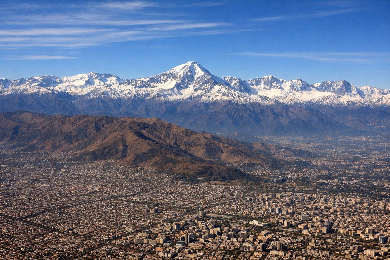
Takeoff from SCL
LEFTSCL typically departs northbound (runways 07L/R or 25L/R depending on wind). Left seats face west initially, capturing the Andes spine and the western approach over the Central Valley. Right seats see the eastern foothills and inland terrain.
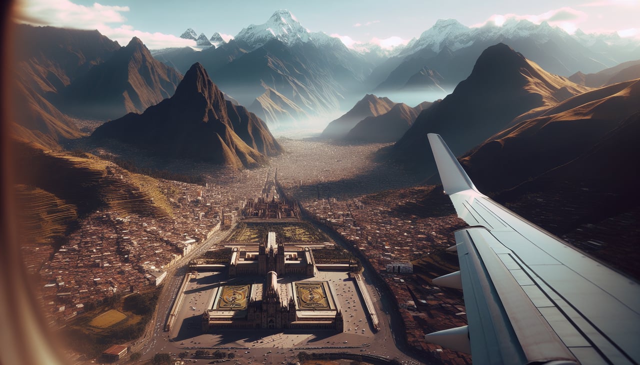
Landing at UIO
RIGHTUIO approaches from the south on runway 28 (westbound final). Right seats face north and west during descent, capturing the Pichincha volcanic complex and the Quito basin. Left seats see the eastern Cordillera and approach terrain.
Will your flight be in sunlight?
Pick a date and time in the Sun Map to watch the sun move across your whole flight.
About This Route
Which side of the plane should I sit on flying from Arturo Merino Benitez International (SCL) to Mariscal Sucre International Airport (UIO)?
Sit on the Left side of the plane for the best views on flights from Santiago to Quito. Left seats capture the dramatic Andes departure and the high-altitude Interandean Valley geography that defines this route. The northbound climb-out offers superior mountain views, and the approach still shows significant terrain despite right-seat advantages on landing.
What can I see during takeoff from Arturo Merino Benitez International in Santiago?
During takeoff from Arturo Merino Benitez International (SCL), sit on the Left side for the best views. SCL typically departs northbound (runways 07L/R or 25L/R depending on wind). Left seats face west initially, capturing the Andes spine and the western approach over the Central Valley. Right seats see the eastern foothills and inland terrain. Notable sights include: Cordillera de los Andes (main ridge running north-south), Maipo River valley (visible as a linear feature below), San Cristóbal Hill (Cerro San Cristóbal, prominent peak southeast of downtown), Aconcagua massif (distant northern horizon on clear days).
What can I see when landing at Mariscal Sucre International Airport in Quito?
When landing at Mariscal Sucre International Airport (UIO), sit on the Right side for the best views. UIO approaches from the south on runway 28 (westbound final). Right seats face north and west during descent, capturing the Pichincha volcanic complex and the Quito basin. Left seats see the eastern Cordillera and approach terrain. Notable sights include: Volcán Pichincha (active volcano, western rim of Quito basin), Quito city sprawl (visible as urban grid in the valley floor), Cordillera Occidental (western range, left side of approach), Interandean Valley floor (agricultural and urban patchwork).
How long is the flight from Santiago to Quito?
The flight from Arturo Merino Benitez International (SCL) to Mariscal Sucre International Airport (UIO) takes about 5 hours 5 minutes. The shortest flight path between them is 2,351 miles (3,783 km); winds and air traffic control usually add a few percent.
What does the Santiago to Quito flight path pass over?
The flight path follows the Interandean Valley northward, passing over the Chilean-Peruvian border region near the Atacama Desert's northern edge, then transitions into Peru's high plateau (altiplano) before entering Ecuador's Interandean Valley. Notable geographic features include the Atacama's arid terrain (visible as tan, barren landscape), the transition zone where vegetation increases northward, and the continuous Andes spine running the entire route's left side. The valley floor alternates between agricultural land and small towns. At cruise altitude (typically 35,000 feet), individual peaks become less distinct, but the overall mountain chain and valley structure remain clearly visible.