San Francisco to Anchorage is 2,016 miles (3,244 km), a flight of about 3 hours 35 minutes.
The right side delivers a continuous string of real terrain features — the San Francisco skyline and Golden Gate at departure, the forested Pacific Northwest coastline and mountain ranges through the cruise, and the Chugach Mountains and Cook Inlet on arrival — while the left side is dominated by open ocean for most of the flight.
Flight Path
Cascade Range volcanic peaks (Mount Shasta, Mount Rainier visible in clear conditions), Olympic Peninsula and Vancouver Island coastline, British Columbia's Coast Mountains, and the glacier-covered Fairweather Range along the Alaska Panhandle before the route crosses the Gulf of Alaska toward Cook Inlet.
Great circle distance and headings ›

Phase by phase
Takeoff from SFO
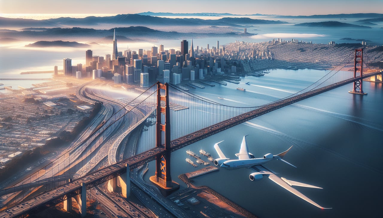
RIGHTDeparting SFO the aircraft climbs out over the bay and then turns north along the coast, putting the San Francisco skyline, Golden Gate Bridge, and Marin Headlands on the right side as the city falls away below. The left side only shows open Pacific water with no coastal reference points.
Landing at ANC
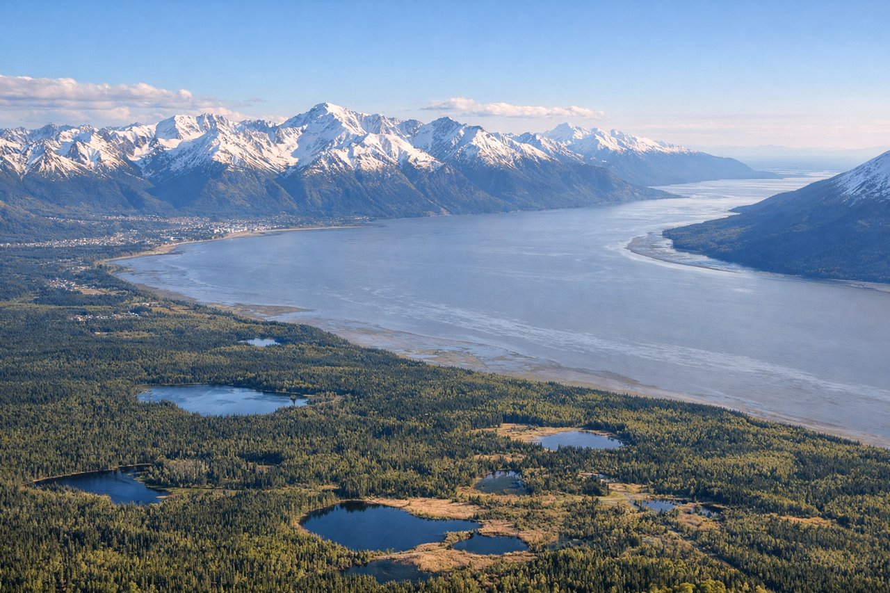
RIGHTOn approach into Anchorage the flight path descends along Cook Inlet with the Chugach Mountains rising steeply just south of the runway, giving right-side passengers dramatic close-up views of Turnagain Arm and the mountain wall behind the city. The left side faces the flatter Knik Arm and Susitna lowlands, which are scenic but less dramatic.
Landmarks on this routeAll landmarks →
Will your flight be in sunlight?
Pick a date and time in the Sun Map to watch the sun move across your whole flight.
About This Route
Which side of the plane should I sit on flying from San Francisco International (SFO) to Ted Stevens Anchorage International (ANC)?
Sit on the Right side of the plane for the best views on flights from San Francisco to Anchorage. The right side delivers a continuous string of real terrain features — the San Francisco skyline and Golden Gate at departure, the forested Pacific Northwest coastline and mountain ranges through the cruise, and the Chugach Mountains and Cook Inlet on arrival — while the left side is dominated by open ocean for most of the flight.
What can I see during takeoff from San Francisco International in San Francisco?
During takeoff from San Francisco International (SFO), sit on the Right side for the best views. Departing SFO the aircraft climbs out over the bay and then turns north along the coast, putting the San Francisco skyline, Golden Gate Bridge, and Marin Headlands on the right side as the city falls away below. The left side only shows open Pacific water with no coastal reference points. Notable sights include: Golden Gate Bridge, San Francisco skyline, Marin Headlands, Point Reyes coastline.
What can I see when landing at Ted Stevens Anchorage International in Anchorage?
When landing at Ted Stevens Anchorage International (ANC), sit on the Right side for the best views. On approach into Anchorage the flight path descends along Cook Inlet with the Chugach Mountains rising steeply just south of the runway, giving right-side passengers dramatic close-up views of Turnagain Arm and the mountain wall behind the city. The left side faces the flatter Knik Arm and Susitna lowlands, which are scenic but less dramatic. Notable sights include: Chugach Mountains, Turnagain Arm, Cook Inlet, Anchorage skyline.
How long is the flight from San Francisco to Anchorage?
The flight from San Francisco International (SFO) to Ted Stevens Anchorage International (ANC) takes about 3 hours 35 minutes. The shortest flight path between them is 2,016 miles (3,244 km); winds and air traffic control usually add a few percent.
What does the San Francisco to Anchorage flight path pass over?
Cascade Range volcanic peaks (Mount Shasta, Mount Rainier visible in clear conditions), Olympic Peninsula and Vancouver Island coastline, British Columbia's Coast Mountains, and the glacier-covered Fairweather Range along the Alaska Panhandle before the route crosses the Gulf of Alaska toward Cook Inlet.