Basse Terre to Los Angeles is 3,608 miles (5,807 km), a flight of about 5 hours 45 minutes.
Right side captures the most dramatic scenery: volcanic peaks and Caribbean waters at takeoff, then the Pacific coastline and mountain ranges during descent into Los Angeles. Left side offers good landing views but minimal interest during the long oceanic cruise phase.
Flight Path
The flight path crosses the Caribbean Sea, then the Yucatan Channel between Mexico and Cuba, continues over the Gulf of Mexico, crosses the southern United States (typically over Texas or northern Mexico), and approaches the Pacific coast near California. Notable features include the Yucatan Peninsula's low limestone terrain, the Sierra Madre mountain ranges visible from altitude over northern Mexico, and the Colorado River delta region before reaching the California coast.
Great circle distance and headings ›


.jpg?width=600)
.jpg?width=600)
Phase by phase
Takeoff from SKB
RIGHTRight side offers immediate views of the Caribbean Sea and the volcanic peaks of Saint Kitts island itself. The island's interior ridgeline and coastal geography are best framed from the right during northwestward departure.
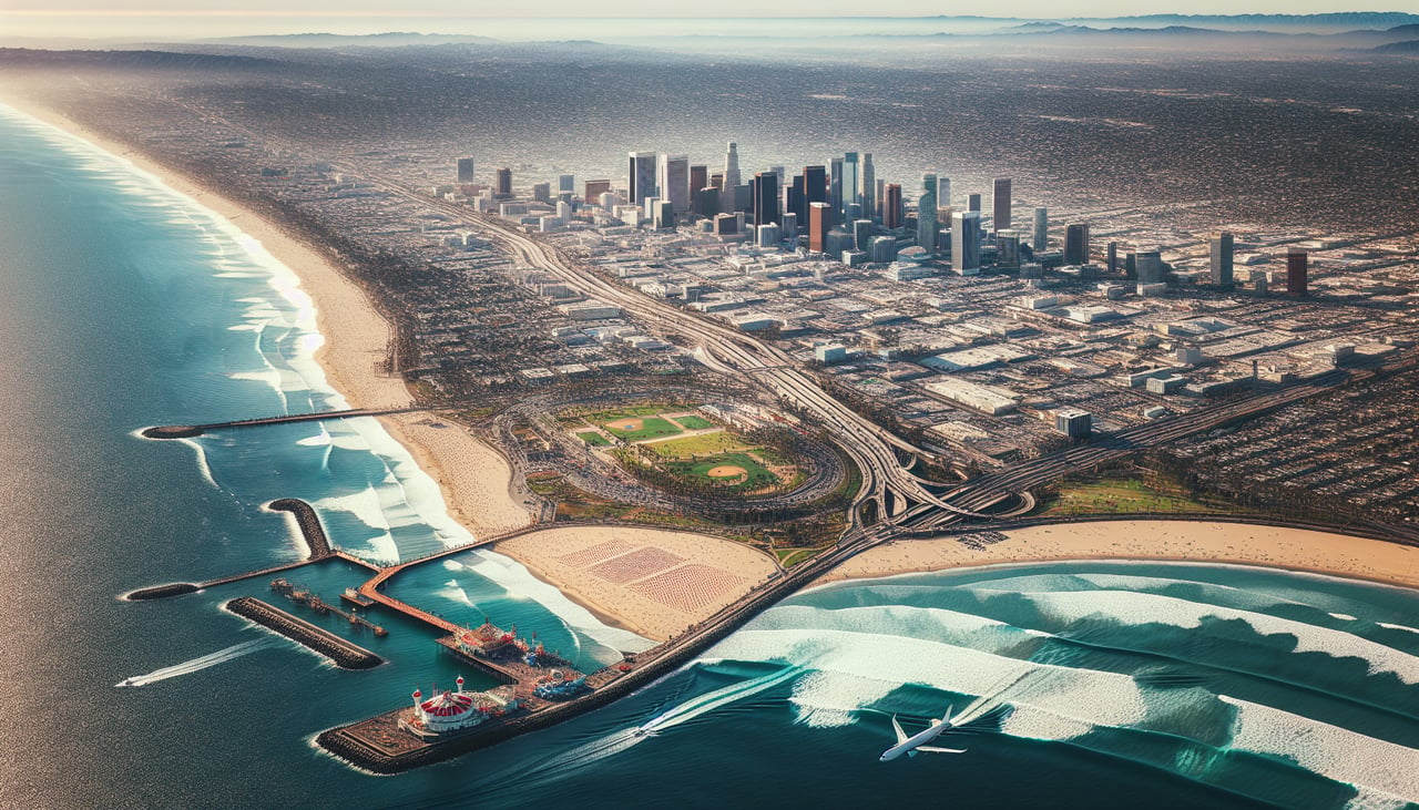
Landing at LAX
LEFTLeft side provides the best views during the final approach into LAX from the west. You'll see the Pacific coastline, Santa Monica Bay, and the Los Angeles basin sprawl as you descend toward the runway.
Landmarks on this routeAll landmarks →
Will your flight be in sunlight?
Pick a date and time in the Sun Map to watch the sun move across your whole flight.
About This Route
Which side of the plane should I sit on flying from Robert L Bradshaw (SKB) to Los Angeles International (LAX)?
Sit on the Right side of the plane for the best views on flights from Basse Terre to Los Angeles. Right side captures the most dramatic scenery: volcanic peaks and Caribbean waters at takeoff, then the Pacific coastline and mountain ranges during descent into Los Angeles. Left side offers good landing views but minimal interest during the long oceanic cruise phase.
What can I see during takeoff from Robert L Bradshaw in Basse Terre?
During takeoff from Robert L Bradshaw (SKB), sit on the Right side for the best views. Right side offers immediate views of the Caribbean Sea and the volcanic peaks of Saint Kitts island itself. The island's interior ridgeline and coastal geography are best framed from the right during northwestward departure. Notable sights include: Liamuiga volcano (3,792 ft, Saint Kitts central peak), Caribbean Sea to the east and south, Nevis island to the southeast, coastal settlements of Basseterre district.
What can I see when landing at Los Angeles International in Los Angeles?
When landing at Los Angeles International (LAX), sit on the Left side for the best views. Left side provides the best views during the final approach into LAX from the west. You'll see the Pacific coastline, Santa Monica Bay, and the Los Angeles basin sprawl as you descend toward the runway. Notable sights include: Pacific Ocean and Santa Monica Bay, Santa Monica and Venice Beach coastal areas, Los Angeles downtown skyline (visible as a distant cluster in clear conditions), San Gabriel Mountains to the northeast.
How long is the flight from Basse Terre to Los Angeles?
The flight from Robert L Bradshaw (SKB) to Los Angeles International (LAX) takes about 5 hours 45 minutes. The shortest flight path between them is 3,608 miles (5,807 km); winds and air traffic control usually add a few percent.
What does the Basse Terre to Los Angeles flight path pass over?
The flight path crosses the Caribbean Sea, then the Yucatan Channel between Mexico and Cuba, continues over the Gulf of Mexico, crosses the southern United States (typically over Texas or northern Mexico), and approaches the Pacific coast near California. Notable features include the Yucatan Peninsula's low limestone terrain, the Sierra Madre mountain ranges visible from altitude over northern Mexico, and the Colorado River delta region before reaching the California coast.