The right side wins on both ends of the flight: dramatic Wasatch Range scenery during departure from SLC and rolling Piedmont/Blue Ridge foothill terrain during the approach into CLT, while the left side offers comparatively flat and less varied scenery.
Flown SLC to CLT? Did we get it right?
Flight Path
Salt Lake City to Charlotte is 1,724 miles (2,774 km), a flight of about 3 hours 40 minutes.
Southern Rocky Mountains of Colorado, high plains of Kansas, Ozark Plateau, and the Mississippi River valley are crossed during cruise, though mostly at high altitude with limited close detail.
Great circle distance and headings ›


Phase by phase
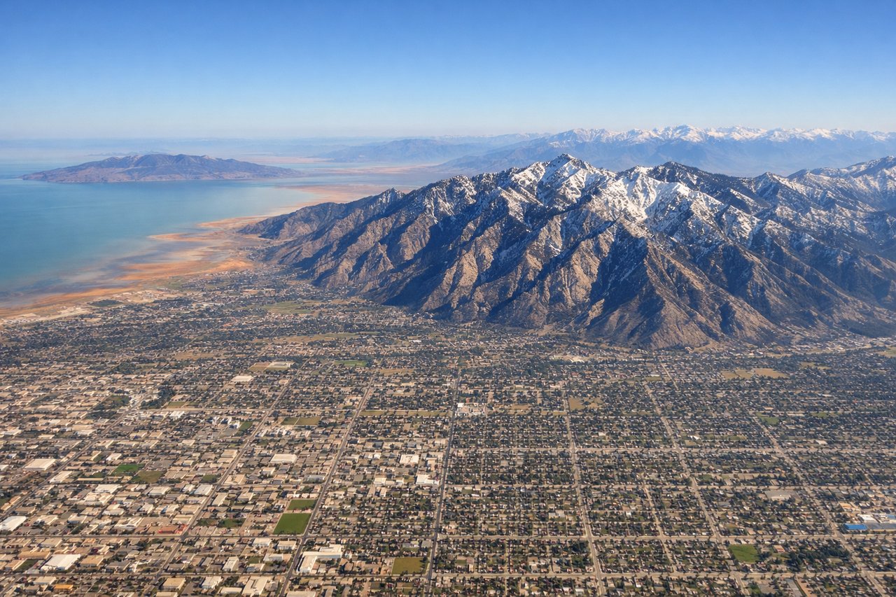
Takeoff from SLC
RIGHTDeparting SLC toward the east-southeast, the right side offers views of the Wasatch Range and the peaks near Provo as the aircraft climbs out of the valley, while the left side mostly shows the flatter Great Salt Lake basin fading into haze.
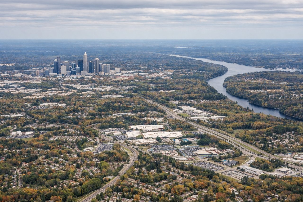
Landing at CLT
RIGHTOn approach to CLT from the west in typical south-flow operations, the right side gives a good look at the rolling Blue Ridge foothills and forested Piedmont terrain before the descent flattens out over Charlotte's suburbs.
Will your flight be in sunlight?
Pick a date and time in the Sun Map to watch the sun move across your whole flight.
About This Route
Which side of the plane should I sit on flying from Salt Lake City International (SLC) to Charlotte Douglas International (CLT)?
Sit on the Right side of the plane for the best views on flights from Salt Lake City to Charlotte. The right side wins on both ends of the flight: dramatic Wasatch Range scenery during departure from SLC and rolling Piedmont/Blue Ridge foothill terrain during the approach into CLT, while the left side offers comparatively flat and less varied scenery.
What can I see during takeoff from Salt Lake City International in Salt Lake City?
During takeoff from Salt Lake City International (SLC), sit on the Right side for the best views. Departing SLC toward the east-southeast, the right side offers views of the Wasatch Range and the peaks near Provo as the aircraft climbs out of the valley, while the left side mostly shows the flatter Great Salt Lake basin fading into haze. Notable sights include: Wasatch Range, Traverse Mountains, Utah Lake basin, Salt Lake Valley.
What can I see when landing at Charlotte Douglas International in Charlotte?
When landing at Charlotte Douglas International (CLT), sit on the Right side for the best views. On approach to CLT from the west in typical south-flow operations, the right side gives a good look at the rolling Blue Ridge foothills and forested Piedmont terrain before the descent flattens out over Charlotte's suburbs. Notable sights include: Blue Ridge Mountains foothills, South Mountains, Catawba River, Charlotte skyline.
How long is the flight from Salt Lake City to Charlotte?
The flight from Salt Lake City International (SLC) to Charlotte Douglas International (CLT) takes about 3 hours 40 minutes. The shortest flight path between them is 1,724 miles (2,774 km); winds and air traffic control usually add a few percent.
What does the Salt Lake City to Charlotte flight path pass over?
Southern Rocky Mountains of Colorado, high plains of Kansas, Ozark Plateau, and the Mississippi River valley are crossed during cruise, though mostly at high altitude with limited close detail.