The right side offers the Great Salt Lake and its dramatic salt flats during departure, and Haleakala's volcanic slopes during arrival — both genuine, high-impact landmarks. The left side sees mostly featureless desert basin and open ocean with less visual variety.
Flight Path
After crossing Nevada's basin-and-range desert and the Sierra Nevada near the coast, the flight spends most of its duration over open Pacific Ocean with no visible landmarks until Maui's volcanic profile appears near the end.
Great circle distance and headings ›


.jpg?width=600)
Phase by phase
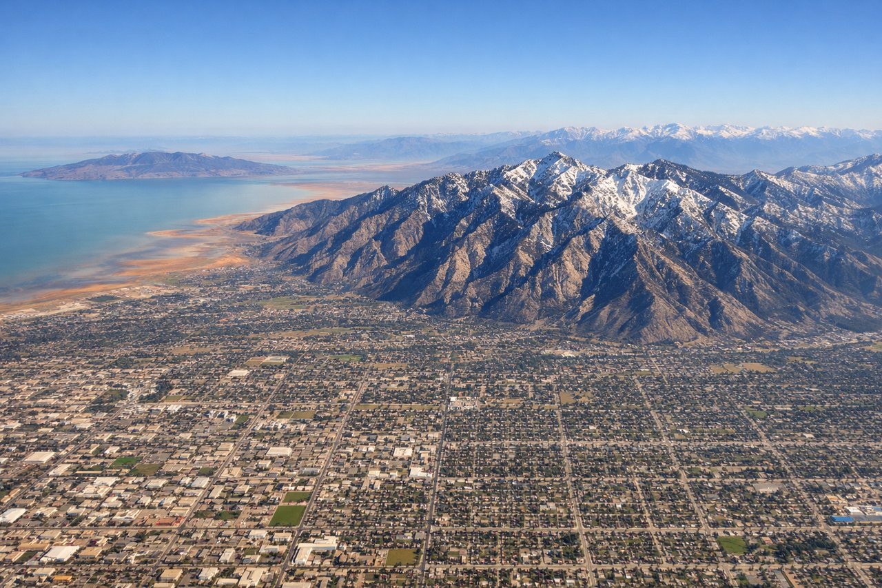
Takeoff from SLC
RIGHTDeparting SLC and turning west, the Great Salt Lake and its salt flats spread out on the right side, with the Wasatch Range receding behind. The left side shows only the flatter Salt Lake Valley and Oquirrh Mountains, less dramatic in comparison.
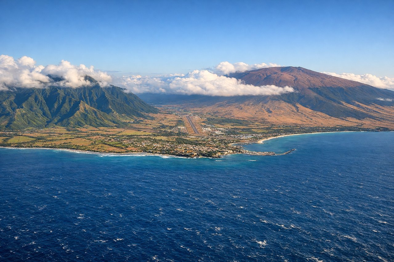
Landing at OGG
RIGHTOn approach into OGG from the northeast, the volcanic bulk of Haleakala rises dramatically on the right side of the aircraft as it descends over the Pacific toward Kahului. The left side mostly shows open ocean and the smaller West Maui Mountains further away, less commanding than Haleakala's massive slopes.
Landmarks on this routeAll landmarks →
Will your flight be in sunlight?
See exactly which side of the plane gets sun and shade at your departure time.
About This Route
Which side of the plane should I sit on flying from Salt Lake City International (SLC) to Kahului (OGG)?
Sit on the Right side of the plane for the best views on flights from Salt Lake City to Kahului. The right side offers the Great Salt Lake and its dramatic salt flats during departure, and Haleakala's volcanic slopes during arrival — both genuine, high-impact landmarks. The left side sees mostly featureless desert basin and open ocean with less visual variety.
What can I see during takeoff from Salt Lake City International in Salt Lake City?
During takeoff from Salt Lake City International (SLC), sit on the Right side for the best views. Departing SLC and turning west, the Great Salt Lake and its salt flats spread out on the right side, with the Wasatch Range receding behind. The left side shows only the flatter Salt Lake Valley and Oquirrh Mountains, less dramatic in comparison. Notable sights include: Great Salt Lake, Antelope Island, Oquirrh Mountains, Bonneville Salt Flats in the distance.
What can I see when landing at Kahului in Kahului?
When landing at Kahului (OGG), sit on the Right side for the best views. On approach into OGG from the northeast, the volcanic bulk of Haleakala rises dramatically on the right side of the aircraft as it descends over the Pacific toward Kahului. The left side mostly shows open ocean and the smaller West Maui Mountains further away, less commanding than Haleakala's massive slopes. Notable sights include: Haleakala volcano, Maui's central valley, Kahului Harbor, West Maui Mountains in the distance.
How long is the flight from Salt Lake City to Kahului?
The flight from Salt Lake City International (SLC) to Kahului (OGG) takes 6h 10m.
What does the Salt Lake City to Kahului flight path pass over?
After crossing Nevada's basin-and-range desert and the Sierra Nevada near the coast, the flight spends most of its duration over open Pacific Ocean with no visible landmarks until Maui's volcanic profile appears near the end.