Taipei to Seattle is 6,060 miles (9,752 km), a flight of about 11 hours 30 minutes.
While takeoff favors the right (Taiwan's volcanic peaks), landing on the left offers the iconic Mount Rainier view on clear days, which is the most memorable landmark on this route. The landing view carries more visual weight for the overall journey.
Flight Path
The flight crosses the Pacific Ocean for roughly 9-10 hours. Notable geographic features along the route include: the Aleutian Islands (far north, typically not visible on standard routing), the North Pacific high-pressure system (clear weather corridor), and the approach to the North American coast near the British Columbia/Washington border. The flight path typically passes east of Japan and well north of Hawaii. As the aircraft approaches the Pacific Northwest, the Cascade Range becomes visible 100+ miles before landing, with Mount Rainier emerging as a distinct peak in the final 50 miles.
Great circle distance and headings ›

Phase by phase
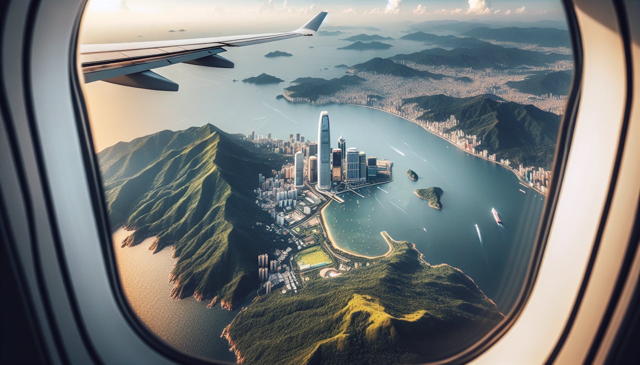
Takeoff from TPE
RIGHTTPE typically departs eastbound (Runways 05L/05R). Right-side seats face the Pacific and northern Taiwan's coastline, including the Keelung volcanic peaks and the northern tip of the island. Left side shows only inland terrain and urban sprawl.
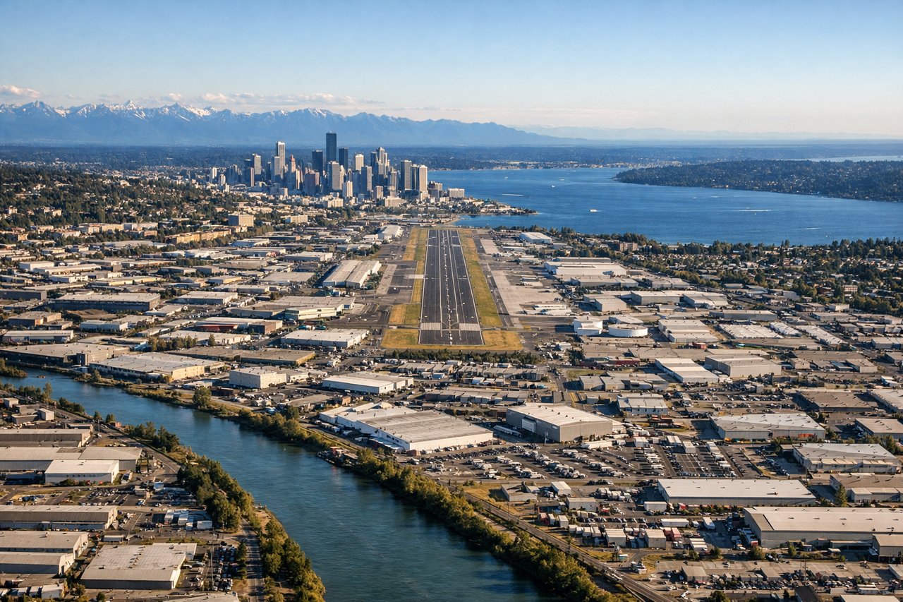
Landing at BFI
LEFTBFI uses Runways 13L/13R (southwest approach). Left-side seats on final approach face the Cascade Range to the east and southeast, with Mount Rainier visible on clear days. Right side shows only Puget Sound and the Olympic Mountains across the water—less dramatic.
Landmarks on this routeAll landmarks →
Will your flight be in sunlight?
Pick a date and time in the Sun Map to watch the sun move across your whole flight.
About This Route
Which side of the plane should I sit on flying from Chiang Kai Shek International (TPE) to Boeing Fld King Co International (BFI)?
Sit on the Left side of the plane for the best views on flights from Taipei to Seattle. While takeoff favors the right (Taiwan's volcanic peaks), landing on the left offers the iconic Mount Rainier view on clear days, which is the most memorable landmark on this route. The landing view carries more visual weight for the overall journey.
What can I see during takeoff from Chiang Kai Shek International in Taipei?
During takeoff from Chiang Kai Shek International (TPE), sit on the Right side for the best views. TPE typically departs eastbound (Runways 05L/05R). Right-side seats face the Pacific and northern Taiwan's coastline, including the Keelung volcanic peaks and the northern tip of the island. Left side shows only inland terrain and urban sprawl. Notable sights include: Keelung volcanic cone (northeast of airport), Taiwan Strait (east), northern Taiwan coastline, Taipei urban grid.
What can I see when landing at Boeing Fld King Co International in Seattle?
When landing at Boeing Fld King Co International (BFI), sit on the Left side for the best views. BFI uses Runways 13L/13R (southwest approach). Left-side seats on final approach face the Cascade Range to the east and southeast, with Mount Rainier visible on clear days. Right side shows only Puget Sound and the Olympic Mountains across the water—less dramatic. Notable sights include: Mount Rainier (southeast, 50+ miles distant), Cascade Range foothills, Puget Sound, Seattle skyline.
How long is the flight from Taipei to Seattle?
The flight from Chiang Kai Shek International (TPE) to Boeing Fld King Co International (BFI) takes about 11 hours 30 minutes. The shortest flight path between them is 6,060 miles (9,752 km); winds and air traffic control usually add a few percent.
What does the Taipei to Seattle flight path pass over?
The flight crosses the Pacific Ocean for roughly 9-10 hours. Notable geographic features along the route include: the Aleutian Islands (far north, typically not visible on standard routing), the North Pacific high-pressure system (clear weather corridor), and the approach to the North American coast near the British Columbia/Washington border. The flight path typically passes east of Japan and well north of Hawaii. As the aircraft approaches the Pacific Northwest, the Cascade Range becomes visible 100+ miles before landing, with Mount Rainier emerging as a distinct peak in the final 50 miles.