Right-side seats capture the dramatic Andean departure and the high-altitude crossing of the continental divide. While left offers good São Paulo arrival views, the takeoff scenery from Quito—with the western escarpment and volcanic peaks—is more visually distinctive and geographically significant.
Flown UIO to GRU? Did we get it right?
Flight Path
Quito to Sao Paulo is 2,677 miles (4,308 km), a flight of about 4 hours 15 minutes.
The flight path crosses the Amazon Basin at cruise altitude (typically 35,000-37,000 feet). At this altitude, individual landmarks are obscured by cloud cover on most days, but on clear conditions you may see the vast green canopy texture of the western Amazon, the Rio Marañón valley system in Peru, and eventually the transition to the Brazilian Shield topography. The descent into São Paulo begins around 200 nm east of Guarulhos, with views of the Brazilian plateau's rolling terrain and scattered cloud formations.
Great circle distance and headings ›


Phase by phase
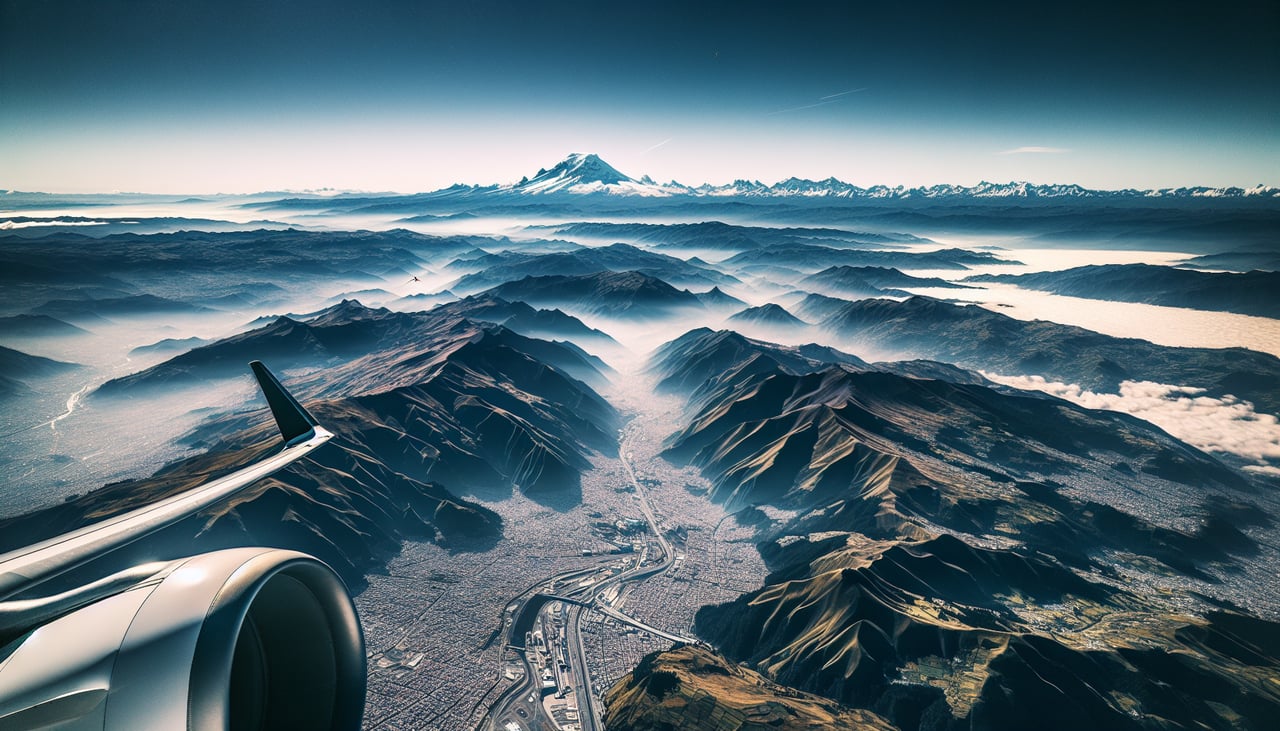
Takeoff from UIO
RIGHTQuito typically departs runway 28 (westbound). Right-side seats face the Andes spine and the dramatic western escarpment as you climb. You'll see the high plateau drop away sharply toward the Pacific coastal plain.
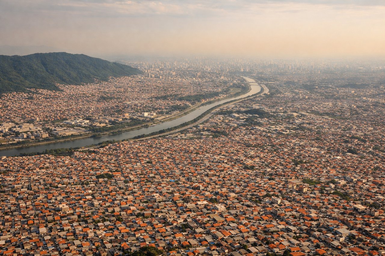
Landing at GRU
LEFTGuarulhos typically uses runways 27L/27R for westbound arrivals. Left-side seats on approach face the São Paulo metropolitan sprawl and the Cantareira Mountains to the north. You descend over the densely built urban core with clear views of the city's grid and major highways converging toward the airport.
Will your flight be in sunlight?
Pick a date and time in the Sun Map to watch the sun move across your whole flight.
About This Route
Which side of the plane should I sit on flying from Mariscal Sucre International Airport (UIO) to Guarulhos (GRU)?
Sit on the Right side of the plane for the best views on flights from Quito to Sao Paulo. Right-side seats capture the dramatic Andean departure and the high-altitude crossing of the continental divide. While left offers good São Paulo arrival views, the takeoff scenery from Quito—with the western escarpment and volcanic peaks—is more visually distinctive and geographically significant.
What can I see during takeoff from Mariscal Sucre International Airport in Quito?
During takeoff from Mariscal Sucre International Airport (UIO), sit on the Right side for the best views. Quito typically departs runway 28 (westbound). Right-side seats face the Andes spine and the dramatic western escarpment as you climb. You'll see the high plateau drop away sharply toward the Pacific coastal plain. Notable sights include: Western Cordillera peaks (Pichincha massif to your left/north, Cotopaxi visible further south on clear days), the Interandean Valley floor receding beneath, the abrupt descent toward the Chocó lowlands to the west.
What can I see when landing at Guarulhos in Sao Paulo?
When landing at Guarulhos (GRU), sit on the Left side for the best views. Guarulhos typically uses runways 27L/27R for westbound arrivals. Left-side seats on approach face the São Paulo metropolitan sprawl and the Cantareira Mountains to the north. You descend over the densely built urban core with clear views of the city's grid and major highways converging toward the airport. Notable sights include: Cantareira Mountains (northern horizon, forested ridge), São Paulo's northern suburbs and industrial zones (immediate foreground during descent), the Tietê River valley snaking through the urban area, Guarulhos airport complex and surrounding highway network (Rodovia Presidente Dutra visible).
How long is the flight from Quito to Sao Paulo?
The flight from Mariscal Sucre International Airport (UIO) to Guarulhos (GRU) takes about 4 hours 15 minutes. The shortest flight path between them is 2,677 miles (4,308 km); winds and air traffic control usually add a few percent.
What does the Quito to Sao Paulo flight path pass over?
The flight path crosses the Amazon Basin at cruise altitude (typically 35,000-37,000 feet). At this altitude, individual landmarks are obscured by cloud cover on most days, but on clear conditions you may see the vast green canopy texture of the western Amazon, the Rio Marañón valley system in Peru, and eventually the transition to the Brazilian Shield topography. The descent into São Paulo begins around 200 nm east of Guarulhos, with views of the Brazilian plateau's rolling terrain and scattered cloud formations.