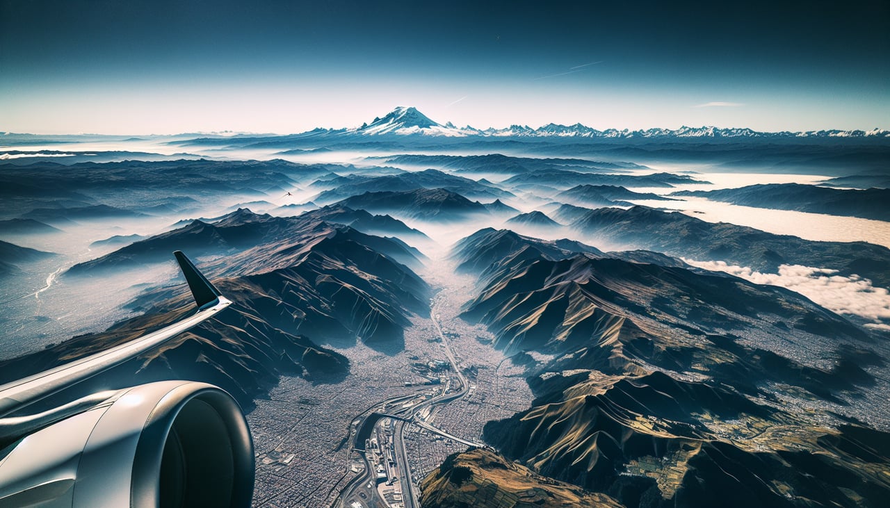
Right-side seats capture the most dramatic scenery: the Quito volcanic peaks during takeoff and the sustained views of the Andes cordillera along the entire southbound flight path. The descent into La Paz favors the left, but the takeoff experience is more visually rewarding on the right.
Flown UIO to LPB? Did we get it right?
Flight Path
Quito to La Paz is 1,327 miles (2,136 km), a flight of about 3 hours 15 minutes.
The flight path follows the Andes spine southward. Notable features include the Ecuadorian-Peruvian border region with high-altitude lakes and volcanic terrain, the Marañón River valley (visible as a deep gorge cutting through the mountains), and the transition from Ecuador's lush inter-Andean valleys to Peru's drier high-altitude plateau. The Altiplano becomes increasingly visible as the aircraft approaches Bolivia, with scattered lakes and the high grassland terrain dominating the landscape south of the Peruvian border.
Great circle distance and headings ›


Phase by phase
Takeoff from UIO
RIGHTRight-side seats offer immediate views of the Andes peaks surrounding Quito's high-altitude basin. The aircraft climbs southeastward, and right-side passengers see the volcanic peaks that define the Quito valley as they gain altitude.
Landing at LPB
LEFTLeft-side seats provide the best approach views into La Paz's dramatic canyon setting. The descent path brings aircraft over the Altiplano plateau, and left-side passengers see the city's steep descent into the canyon and the surrounding high-altitude terrain.
Will your flight be in sunlight?
Pick a date and time in the Sun Map to watch the sun move across your whole flight.
About This Route
Which side of the plane should I sit on flying from Mariscal Sucre International Airport (UIO) to El Alto International (LPB)?
Sit on the Right side of the plane for the best views on flights from Quito to La Paz. Right-side seats capture the most dramatic scenery: the Quito volcanic peaks during takeoff and the sustained views of the Andes cordillera along the entire southbound flight path. The descent into La Paz favors the left, but the takeoff experience is more visually rewarding on the right.
What can I see during takeoff from Mariscal Sucre International Airport in Quito?
During takeoff from Mariscal Sucre International Airport (UIO), sit on the Right side for the best views. Right-side seats offer immediate views of the Andes peaks surrounding Quito's high-altitude basin. The aircraft climbs southeastward, and right-side passengers see the volcanic peaks that define the Quito valley as they gain altitude. Notable sights include: Pichincha volcano (west of airport), Cotopaxi volcano (southeast, visible during climb), Antisana volcano (east), Quito's urban sprawl in the valley floor.
What can I see when landing at El Alto International in La Paz?
When landing at El Alto International (LPB), sit on the Left side for the best views. Left-side seats provide the best approach views into La Paz's dramatic canyon setting. The descent path brings aircraft over the Altiplano plateau, and left-side passengers see the city's steep descent into the canyon and the surrounding high-altitude terrain. Notable sights include: Lake Titicaca (visible to the north on clear days, 50+ miles away), Illimani mountain (southeast of La Paz, snow-capped backdrop), Altiplano plateau (high-altitude grassland surrounding the city), La Paz canyon basin (the city itself nestled 3,000 feet below the rim).
How long is the flight from Quito to La Paz?
The flight from Mariscal Sucre International Airport (UIO) to El Alto International (LPB) takes about 3 hours 15 minutes. The shortest flight path between them is 1,327 miles (2,136 km); winds and air traffic control usually add a few percent.
What does the Quito to La Paz flight path pass over?
The flight path follows the Andes spine southward. Notable features include the Ecuadorian-Peruvian border region with high-altitude lakes and volcanic terrain, the Marañón River valley (visible as a deep gorge cutting through the mountains), and the transition from Ecuador's lush inter-Andean valleys to Peru's drier high-altitude plateau. The Altiplano becomes increasingly visible as the aircraft approaches Bolivia, with scattered lakes and the high grassland terrain dominating the landscape south of the Peruvian border.