Takeoff from Quito offers more dramatic and distinctive geography (Andes escarpment) than landing in Madrid (relatively flat plateau). The right side during departure captures the most visually striking terrain on this route.
Flight Path
The flight path crosses the Caribbean Sea (no landmarks), passes over or near the Yucatan Peninsula (depending on exact routing), crosses the Atlantic with no visible surface features for roughly 4,000 miles, then approaches the Iberian Peninsula. The Strait of Gibraltar and North African coast may be visible if the aircraft passes south of direct routing, but standard transatlantic tracks typically remain well north of these features. The approach to Europe brings views of the Portuguese coast, Spanish interior plateau, and finally the Sierra de Guadarrama before Madrid descent.
Great circle distance and headings ›

Phase by phase
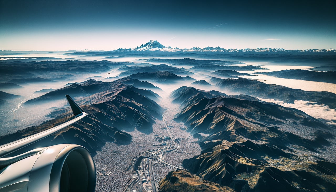
Takeoff from UIO
RIGHTRight side seats capture the dramatic Andes escarpment immediately after departure. Quito sits at 9,350 feet on the inter-Andean plateau, and climbing eastbound (typical for westbound transatlantic flights) reveals the eastern cordillera dropping away sharply. The western slopes visible from left seats show less dramatic relief.
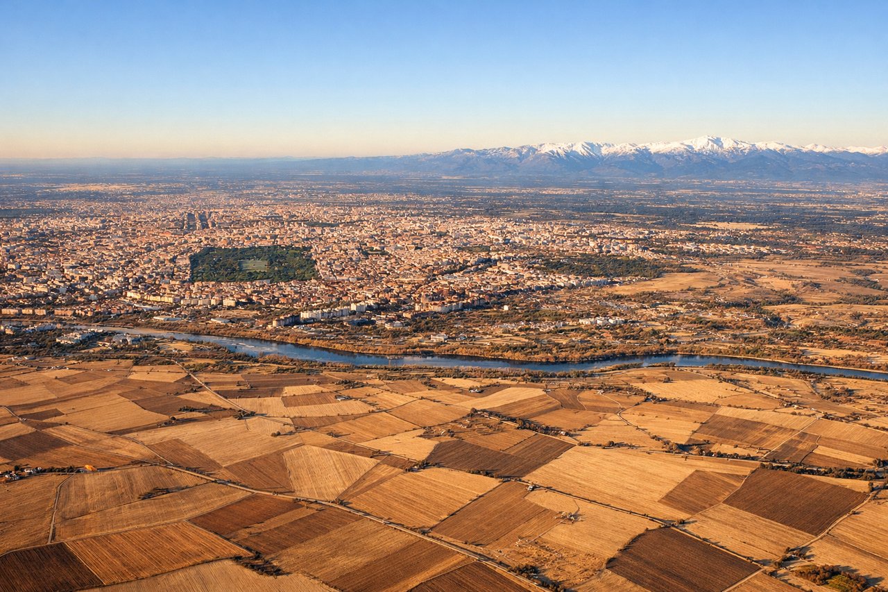
Landing at MAD
LEFTMadrid's approach typically uses runways 32L/32R (northwest heading) or 01L/01R (northeast heading). Left seats on descent into Madrid offer views of the Meseta Central plateau and the Sierra de Guadarrama mountains to the north. Right seats face the southern approach over flat terrain with fewer geographic features.
Landmarks on this routeAll landmarks →
Will your flight be in sunlight?
See exactly which side of the plane gets sun and shade at your departure time.
About This Route
Which side of the plane should I sit on flying from Mariscal Sucre International Airport (UIO) to Barajas (MAD)?
Sit on the Right side of the plane for the best views on flights from Quito to Madrid. Takeoff from Quito offers more dramatic and distinctive geography (Andes escarpment) than landing in Madrid (relatively flat plateau). The right side during departure captures the most visually striking terrain on this route.
What can I see during takeoff from Mariscal Sucre International Airport in Quito?
During takeoff from Mariscal Sucre International Airport (UIO), sit on the Right side for the best views. Right side seats capture the dramatic Andes escarpment immediately after departure. Quito sits at 9,350 feet on the inter-Andean plateau, and climbing eastbound (typical for westbound transatlantic flights) reveals the eastern cordillera dropping away sharply. The western slopes visible from left seats show less dramatic relief. Notable sights include: Eastern Cordillera of the Andes (immediate right, steep descent), Quito urban grid (directly below during initial climb), Pichincha volcano (visible left/southwest on clear days), inter-Andean valley floor (receding behind as altitude increases).
What can I see when landing at Barajas in Madrid?
When landing at Barajas (MAD), sit on the Left side for the best views. Madrid's approach typically uses runways 32L/32R (northwest heading) or 01L/01R (northeast heading). Left seats on descent into Madrid offer views of the Meseta Central plateau and the Sierra de Guadarrama mountains to the north. Right seats face the southern approach over flat terrain with fewer geographic features. Notable sights include: Sierra de Guadarrama mountains (north of Madrid, visible on left during descent), Meseta Central plateau (surrounding terrain), Madrid city sprawl (visible from 15,000+ feet), Manzanares River valley (small, difficult to distinguish at altitude).
How long is the flight from Quito to Madrid?
The flight from Mariscal Sucre International Airport (UIO) to Barajas (MAD) takes Approximately 9.5 to 10.5 hours.
What does the Quito to Madrid flight path pass over?
The flight path crosses the Caribbean Sea (no landmarks), passes over or near the Yucatan Peninsula (depending on exact routing), crosses the Atlantic with no visible surface features for roughly 4,000 miles, then approaches the Iberian Peninsula. The Strait of Gibraltar and North African coast may be visible if the aircraft passes south of direct routing, but standard transatlantic tracks typically remain well north of these features. The approach to Europe brings views of the Portuguese coast, Spanish interior plateau, and finally the Sierra de Guadarrama before Madrid descent.