Quito to Mexicali is 3,299 miles (5,309 km), a flight of about 6 hours 45 minutes.
Right seats capture the dramatic Andean departure and offer consistent views of the high-altitude spine through much of the northern Mexico leg. While left wins on landing, the takeoff scenery is more visually distinctive and memorable.
Flight Path
The flight path crosses central Mexico's high plateau (Altiplano Mexicano) around 2-3 hours in, passing east of the Sierra Madre Occidental. At cruise altitude (around 35,000 feet), the volcanic peaks of central Mexico (Popocatépetl, Iztaccíhuatl) may be visible on clear days as distant white-capped summits. The terrain transitions from Andean highlands to Mexican plateau to desert basin. The Bajío region's agricultural areas appear as geometric patterns. As the aircraft descends toward Mexicali, the Sonoran Desert becomes increasingly visible with its characteristic sparse vegetation and arroyos.
Great circle distance and headings ›

Phase by phase
Takeoff from UIO
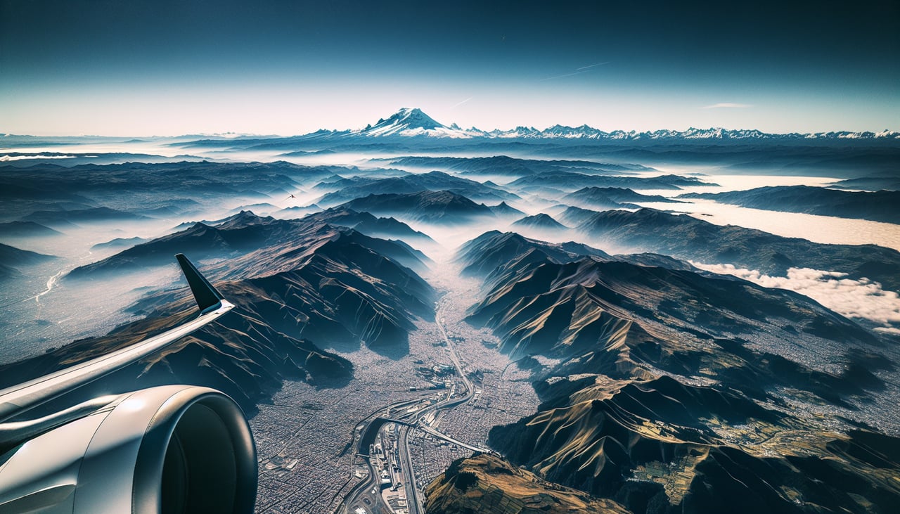
RIGHTQuito typically departs runway 28 (westbound). Right-side seats face the Andes spine running north-south, with the Western Cordillera dominating the immediate view. Left seats see the city and eastern valleys but miss the dramatic high-altitude peaks.
Landing at MXL
LEFTMexicali typically lands runway 09 (eastbound) or 27 (westbound). For either approach, left seats offer views of the Colorado River delta, the US-Mexico border marked by irrigation patterns, and the Imperial Valley's geometric agricultural fields. Right seats see inland desert with less geographic definition.
Landmarks on this routeAll landmarks →
Will your flight be in sunlight?
Pick a date and time in the Sun Map to watch the sun move across your whole flight.
About This Route
Which side of the plane should I sit on flying from Mariscal Sucre International Airport (UIO) to General Rodolfo Sanchez Taboada International (MXL)?
Sit on the Right side of the plane for the best views on flights from Quito to Mexicali. Right seats capture the dramatic Andean departure and offer consistent views of the high-altitude spine through much of the northern Mexico leg. While left wins on landing, the takeoff scenery is more visually distinctive and memorable.
What can I see during takeoff from Mariscal Sucre International Airport in Quito?
During takeoff from Mariscal Sucre International Airport (UIO), sit on the Right side for the best views. Quito typically departs runway 28 (westbound). Right-side seats face the Andes spine running north-south, with the Western Cordillera dominating the immediate view. Left seats see the city and eastern valleys but miss the dramatic high-altitude peaks. Notable sights include: Western Cordillera peaks (Pichincha, Cotopaxi visible on clear days), Quito city grid below, Andean plateau terrain, cloud formations over the inter-Andean valley.
What can I see when landing at General Rodolfo Sanchez Taboada International in Mexicali?
When landing at General Rodolfo Sanchez Taboada International (MXL), sit on the Left side for the best views. Mexicali typically lands runway 09 (eastbound) or 27 (westbound). For either approach, left seats offer views of the Colorado River delta, the US-Mexico border marked by irrigation patterns, and the Imperial Valley's geometric agricultural fields. Right seats see inland desert with less geographic definition. Notable sights include: Colorado River delta and irrigation channels, US-Mexico border (visible as sharp agricultural boundary), Imperial Valley farmland (California side), Mexicali city sprawl.
How long is the flight from Quito to Mexicali?
The flight from Mariscal Sucre International Airport (UIO) to General Rodolfo Sanchez Taboada International (MXL) takes about 6 hours 45 minutes. The shortest flight path between them is 3,299 miles (5,309 km); winds and air traffic control usually add a few percent.
What does the Quito to Mexicali flight path pass over?
The flight path crosses central Mexico's high plateau (Altiplano Mexicano) around 2-3 hours in, passing east of the Sierra Madre Occidental. At cruise altitude (around 35,000 feet), the volcanic peaks of central Mexico (Popocatépetl, Iztaccíhuatl) may be visible on clear days as distant white-capped summits. The terrain transitions from Andean highlands to Mexican plateau to desert basin. The Bajío region's agricultural areas appear as geometric patterns. As the aircraft descends toward Mexicali, the Sonoran Desert becomes increasingly visible with its characteristic sparse vegetation and arroyos.