The right side offers a continuous string of dramatic terrain — Coast Mountains near Vancouver, glaciated peaks near the Alaska border, and the Chugach Range on arrival — while the left side is dominated by open water and flatter coastal plain with fewer standout features.
Flight Path
Coast Mountains of British Columbia, Inside Passage fjords, Wrangell-St Elias glaciated peaks near the Alaska border
Great circle distance and headings ›

Phase by phase
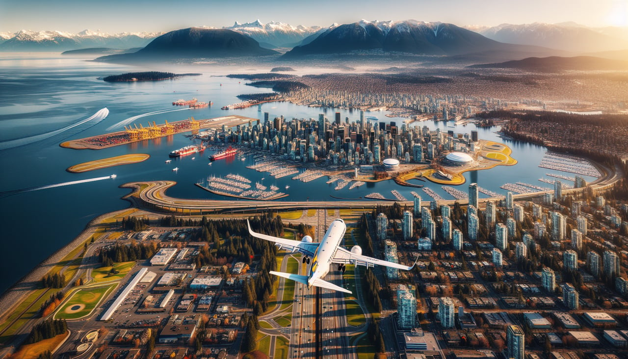
Takeoff from YVR
RIGHTDeparting YVR to the west then turning north, the right side gives passengers a clear view of the North Shore Mountains rising sharply behind Vancouver, plus Howe Sound's fjord-like inlets as the aircraft climbs out over the city.
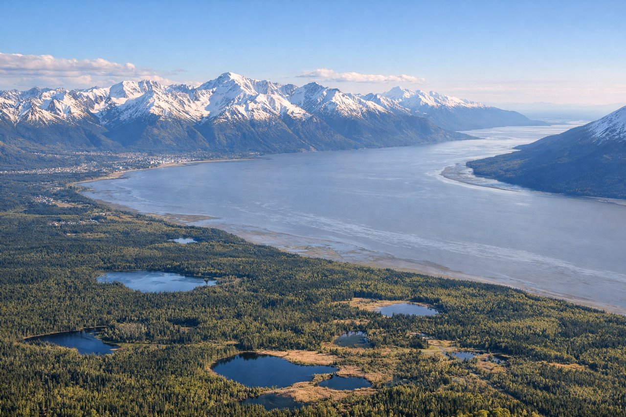
Landing at ANC
RIGHTOn approach into Anchorage, the right side faces the Chugach Mountains, whose steep glaciated peaks rise abruptly right at the edge of the city, offering dramatic close-range terrain during the final descent.
Landmarks on this routeAll landmarks →
Will your flight be in sunlight?
See exactly which side of the plane gets sun and shade at your departure time.
About This Route
Which side of the plane should I sit on flying from Vancouver International (YVR) to Ted Stevens Anchorage International (ANC)?
Sit on the Right side of the plane for the best views on flights from Vancouver to Anchorage. The right side offers a continuous string of dramatic terrain — Coast Mountains near Vancouver, glaciated peaks near the Alaska border, and the Chugach Range on arrival — while the left side is dominated by open water and flatter coastal plain with fewer standout features.
What can I see during takeoff from Vancouver International in Vancouver?
During takeoff from Vancouver International (YVR), sit on the Right side for the best views. Departing YVR to the west then turning north, the right side gives passengers a clear view of the North Shore Mountains rising sharply behind Vancouver, plus Howe Sound's fjord-like inlets as the aircraft climbs out over the city. Notable sights include: North Shore Mountains, Howe Sound, Vancouver's downtown peninsula, Burrard Inlet.
What can I see when landing at Ted Stevens Anchorage International in Anchorage?
When landing at Ted Stevens Anchorage International (ANC), sit on the Right side for the best views. On approach into Anchorage, the right side faces the Chugach Mountains, whose steep glaciated peaks rise abruptly right at the edge of the city, offering dramatic close-range terrain during the final descent. Notable sights include: Chugach Mountains, Knik Arm, Anchorage's coastal flats, Turnagain Arm foothills.
How long is the flight from Vancouver to Anchorage?
The flight from Vancouver International (YVR) to Ted Stevens Anchorage International (ANC) takes 3h 05m.
What does the Vancouver to Anchorage flight path pass over?
Coast Mountains of British Columbia, Inside Passage fjords, Wrangell-St Elias glaciated peaks near the Alaska border