While the right side has good views on departure over the Fraser delta and Strait of Georgia, the left side on approach into SEA delivers the most dramatic combination of urban geography and mountain scenery — Lake Washington, the Seattle skyline, and Mount Rainier together make for a genuinely memorable arrival sequence.
Flown YVR to SEA? Did we get it right?
Flight Path
Vancouver to Seattle is 127 miles (205 km), a flight of about 40 minutes.
The flight crosses the US-Canada border near Blaine/White Rock, then tracks south over the Puget Sound lowlands. Bellingham Bay and the San Juan Islands are visible to the west on clear days. The Cascade Range runs parallel to the east throughout the flight, with Mount Baker visible to the northeast early in the flight and Mount Rainier appearing to the southeast as you approach Seattle.
Great circle distance and headings ›

Phase by phase
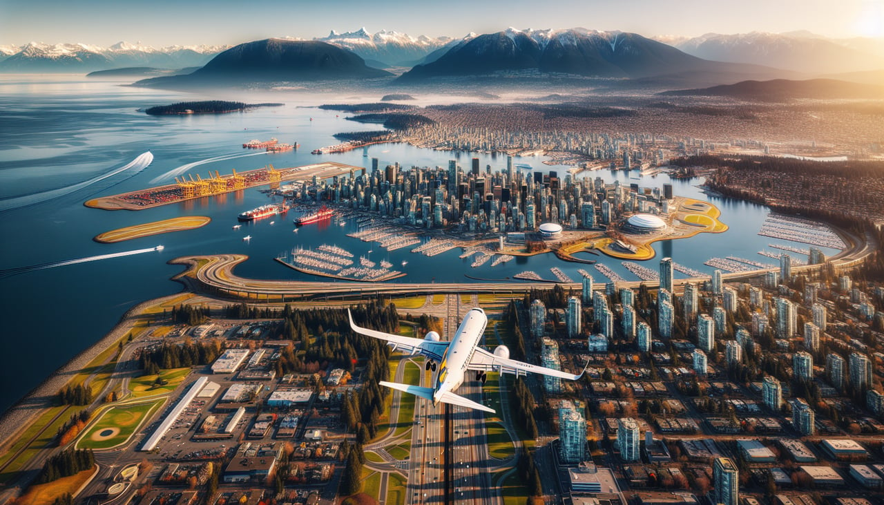
Takeoff from YVR
RIGHTYVR typically departs south on runway 08L/26R or uses runways oriented east-west. On a southbound departure toward SEA, the right (west) side gives you views over the Fraser River delta, Boundary Bay, and the Strait of Georgia. The left side faces inland toward the Coast Mountains but is quickly obscured as the aircraft banks south.
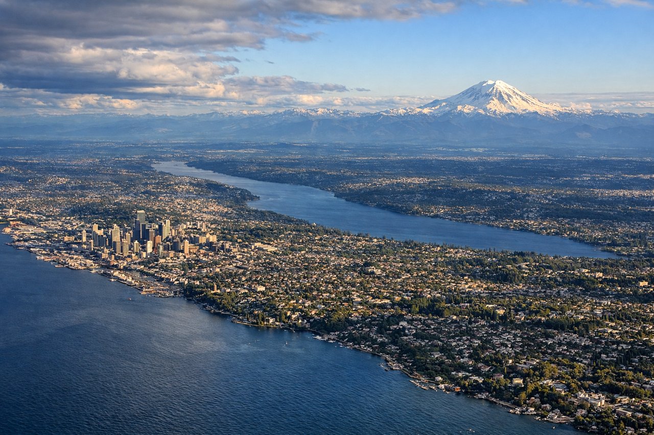
Landing at SEA
LEFTSEA typically lands on runways 16L/16R heading south, meaning the aircraft approaches from the north over the Seattle metro area. The left (east) side gives a clear view of Lake Washington, the Seattle skyline, and Mount Rainier dominating the southeastern horizon. The right side faces west toward Puget Sound, which is also scenic but less landmark-rich.
Will your flight be in sunlight?
Pick a date and time in the Sun Map to watch the sun move across your whole flight.
About This Route
Which side of the plane should I sit on flying from Vancouver International (YVR) to Seattle Tacoma International (SEA)?
Sit on the Left side of the plane for the best views on flights from Vancouver to Seattle. While the right side has good views on departure over the Fraser delta and Strait of Georgia, the left side on approach into SEA delivers the most dramatic combination of urban geography and mountain scenery — Lake Washington, the Seattle skyline, and Mount Rainier together make for a genuinely memorable arrival sequence.
What can I see during takeoff from Vancouver International in Vancouver?
During takeoff from Vancouver International (YVR), sit on the Right side for the best views. YVR typically departs south on runway 08L/26R or uses runways oriented east-west. On a southbound departure toward SEA, the right (west) side gives you views over the Fraser River delta, Boundary Bay, and the Strait of Georgia. The left side faces inland toward the Coast Mountains but is quickly obscured as the aircraft banks south. Notable sights include: Fraser River delta and its braided channels, Boundary Bay, Roberts Bank coal port, Strait of Georgia.
What can I see when landing at Seattle Tacoma International in Seattle?
When landing at Seattle Tacoma International (SEA), sit on the Left side for the best views. SEA typically lands on runways 16L/16R heading south, meaning the aircraft approaches from the north over the Seattle metro area. The left (east) side gives a clear view of Lake Washington, the Seattle skyline, and Mount Rainier dominating the southeastern horizon. The right side faces west toward Puget Sound, which is also scenic but less landmark-rich. Notable sights include: Mount Rainier, Lake Washington, Seattle downtown skyline, Mercer Island.
How long is the flight from Vancouver to Seattle?
The flight from Vancouver International (YVR) to Seattle Tacoma International (SEA) takes about 40 minutes. The shortest flight path between them is 127 miles (205 km); winds and air traffic control usually add a few percent.
What does the Vancouver to Seattle flight path pass over?
The flight crosses the US-Canada border near Blaine/White Rock, then tracks south over the Puget Sound lowlands. Bellingham Bay and the San Juan Islands are visible to the west on clear days. The Cascade Range runs parallel to the east throughout the flight, with Mount Baker visible to the northeast early in the flight and Mount Rainier appearing to the southeast as you approach Seattle.