Although the right side wins the short takeoff and landing segments, the long cruise portion overwhelmingly favors the left side, which tracks the Cascade volcanic chain — Mount Baker, Rainier, St. Helens, Hood, and eventually Shasta — a rare, continuous run of named snow-capped peaks that dominates most of the flight's duration.
Flight Path
Around the Oregon-California border the flight passes near Crater Lake and the Three Sisters volcanic peaks on the left side, with Mount Shasta's snow-capped summit becoming visible further south as the route continues down the Cascade Range toward the Sacramento Valley.
Great circle distance and headings ›


Phase by phase
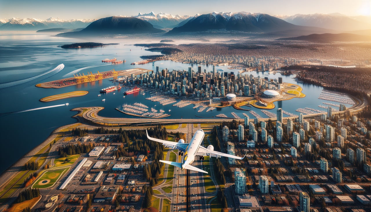
Takeoff from YVR
RIGHTDeparting YVR to the west before banking south, the right side faces the North Shore's Coast Mountains rising steeply right at the edge of Burrard Inlet, then opens up to the Strait of Georgia and Gulf Islands as the aircraft completes its turn. The left side only offers downtown Vancouver and English Bay before rotating toward the flat Fraser delta.
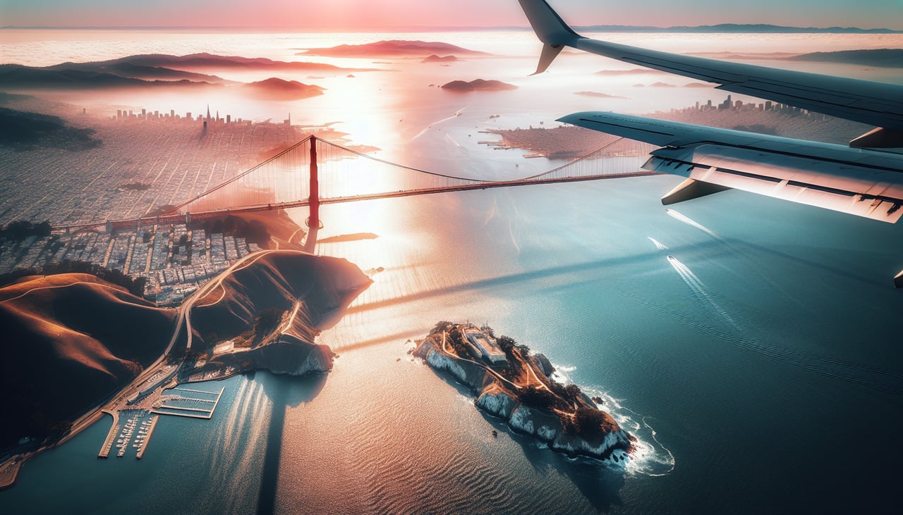
Landing at SFO
RIGHTOn approach into SFO from the north, the right side keeps facing the Pacific side of the peninsula, giving a clear view of the Golden Gate Bridge, the San Francisco skyline, and the Marin headlands before the final turn onto the runway. The left side mostly shows the lower East Bay hills, which are far less distinctive.
Landmarks on this routeAll landmarks →
Will your flight be in sunlight?
See exactly which side of the plane gets sun and shade at your departure time.
About This Route
Which side of the plane should I sit on flying from Vancouver International (YVR) to San Francisco International (SFO)?
Sit on the Left side of the plane for the best views on flights from Vancouver to San Francisco. Although the right side wins the short takeoff and landing segments, the long cruise portion overwhelmingly favors the left side, which tracks the Cascade volcanic chain — Mount Baker, Rainier, St. Helens, Hood, and eventually Shasta — a rare, continuous run of named snow-capped peaks that dominates most of the flight's duration.
What can I see during takeoff from Vancouver International in Vancouver?
During takeoff from Vancouver International (YVR), sit on the Right side for the best views. Departing YVR to the west before banking south, the right side faces the North Shore's Coast Mountains rising steeply right at the edge of Burrard Inlet, then opens up to the Strait of Georgia and Gulf Islands as the aircraft completes its turn. The left side only offers downtown Vancouver and English Bay before rotating toward the flat Fraser delta. Notable sights include: Grouse Mountain and Mount Seymour, Burrard Inlet and Lions Gate Bridge, Strait of Georgia, Gulf Islands.
What can I see when landing at San Francisco International in San Francisco?
When landing at San Francisco International (SFO), sit on the Right side for the best views. On approach into SFO from the north, the right side keeps facing the Pacific side of the peninsula, giving a clear view of the Golden Gate Bridge, the San Francisco skyline, and the Marin headlands before the final turn onto the runway. The left side mostly shows the lower East Bay hills, which are far less distinctive. Notable sights include: Golden Gate Bridge, San Francisco skyline, Marin Headlands, San Francisco Bay.
How long is the flight from Vancouver to San Francisco?
The flight from Vancouver International (YVR) to San Francisco International (SFO) takes 2h 15m.
What does the Vancouver to San Francisco flight path pass over?
Around the Oregon-California border the flight passes near Crater Lake and the Three Sisters volcanic peaks on the left side, with Mount Shasta's snow-capped summit becoming visible further south as the route continues down the Cascade Range toward the Sacramento Valley.