The right side tracks the Pacific coastline for most of the flight, offering glimpses of Puget Sound, the San Francisco Bay Area, and the Los Angeles basin before the dramatic Sea of Cortez approach into SJD, giving it more variety and iconic landmarks than the inland mountain views on the left.
Flown YVR to SJD? Did we get it right?
Flight Path
Vancouver to San Jose Del Cabo is 1,943 miles (3,127 km), a flight of about 5 hours 15 minutes.
Cascade volcanic peaks near the Oregon-California border, the California coastline near Big Sur, and the arid mountain spine of the Baja California peninsula
Great circle distance and headings ›


Phase by phase
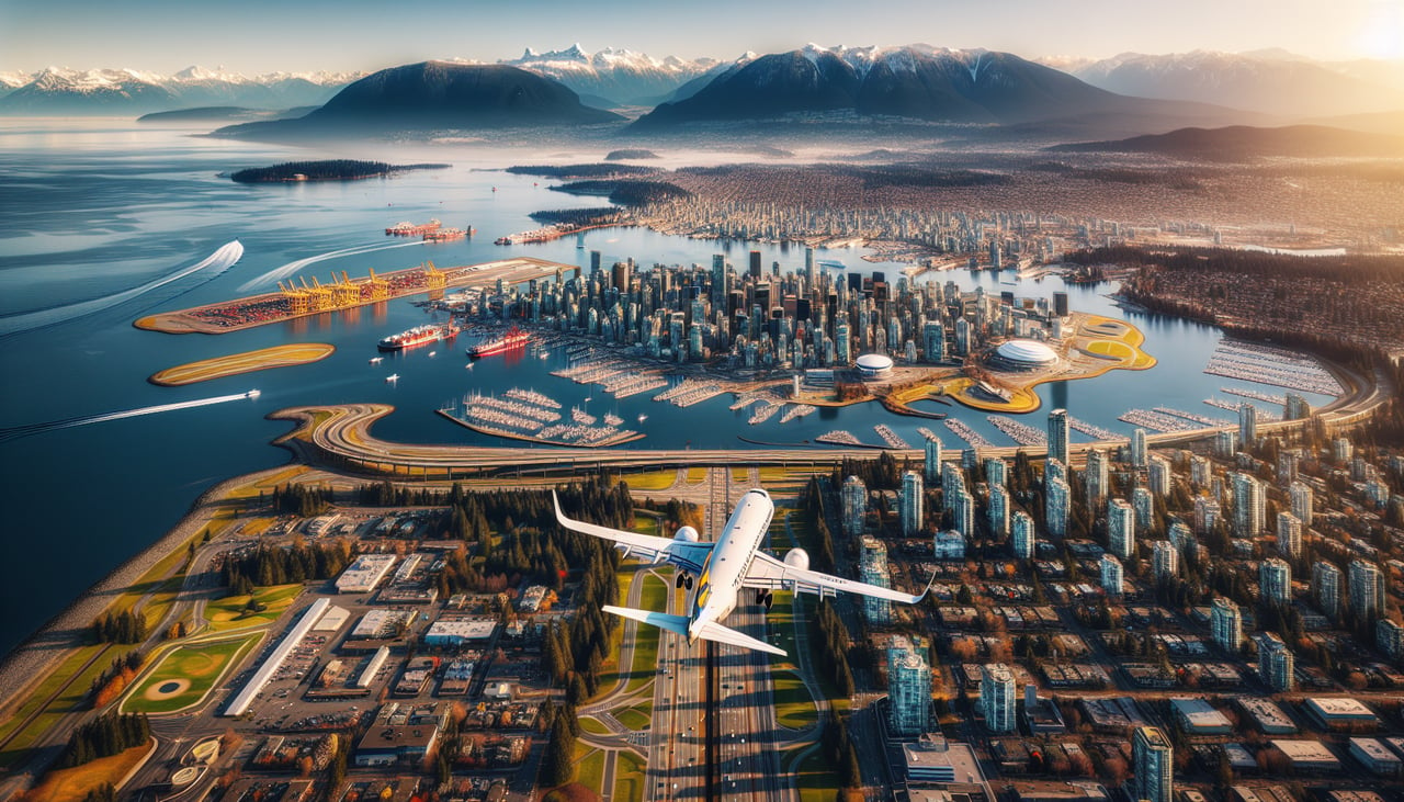
Takeoff from YVR
RIGHTDeparting YVR to the west before turning south, the right side reveals the Strait of Georgia, the Gulf Islands, and the mountainous spine of Vancouver Island receding into the Pacific haze. As the aircraft banks south, this side keeps facing the open coastline rather than the cityscape.
Landing at SJD
RIGHTOn approach to SJD's runway 34, aircraft typically fly north over the Sea of Cortez before turning onto final, putting the turquoise gulf waters and the rocky tip of the Baja peninsula on the right side. This is a far more dramatic view than the desert scrubland visible on the left.
Will your flight be in sunlight?
Pick a date and time in the Sun Map to watch the sun move across your whole flight.
About This Route
Which side of the plane should I sit on flying from Vancouver International (YVR) to Los Cabos International (SJD)?
Sit on the Right side of the plane for the best views on flights from Vancouver to San Jose Del Cabo. The right side tracks the Pacific coastline for most of the flight, offering glimpses of Puget Sound, the San Francisco Bay Area, and the Los Angeles basin before the dramatic Sea of Cortez approach into SJD, giving it more variety and iconic landmarks than the inland mountain views on the left.
What can I see during takeoff from Vancouver International in Vancouver?
During takeoff from Vancouver International (YVR), sit on the Right side for the best views. Departing YVR to the west before turning south, the right side reveals the Strait of Georgia, the Gulf Islands, and the mountainous spine of Vancouver Island receding into the Pacific haze. As the aircraft banks south, this side keeps facing the open coastline rather than the cityscape. Notable sights include: Strait of Georgia, Gulf Islands, Vancouver Island mountains, Fraser River delta.
What can I see when landing at Los Cabos International in San Jose Del Cabo?
When landing at Los Cabos International (SJD), sit on the Right side for the best views. On approach to SJD's runway 34, aircraft typically fly north over the Sea of Cortez before turning onto final, putting the turquoise gulf waters and the rocky tip of the Baja peninsula on the right side. This is a far more dramatic view than the desert scrubland visible on the left. Notable sights include: Sea of Cortez, Land's End rock formations, Baja California desert coastline, Sierra La Laguna foothills.
How long is the flight from Vancouver to San Jose Del Cabo?
The flight from Vancouver International (YVR) to Los Cabos International (SJD) takes about 5 hours 15 minutes. The shortest flight path between them is 1,943 miles (3,127 km); winds and air traffic control usually add a few percent.
What does the Vancouver to San Jose Del Cabo flight path pass over?
Cascade volcanic peaks near the Oregon-California border, the California coastline near Big Sur, and the arid mountain spine of the Baja California peninsula