The left side wins because of the dramatic one-two combination of Vancouver's North Shore Mountains at takeoff followed by a clear crossing of the Canadian Rockies within the first half hour, which together outweigh the flatter prairie and boreal cruise scenery and the brief lake/skyline view on landing.
Flight Path
Canadian Rockies near the BC-Alberta border, the rolling prairies of Alberta and Saskatchewan, the boreal forest and lakes of northern Ontario, and the northern shoreline of Lake Superior near Thunder Bay
Great circle distance and headings ›
.jpg?width=600)


Phase by phase
Takeoff from YVR
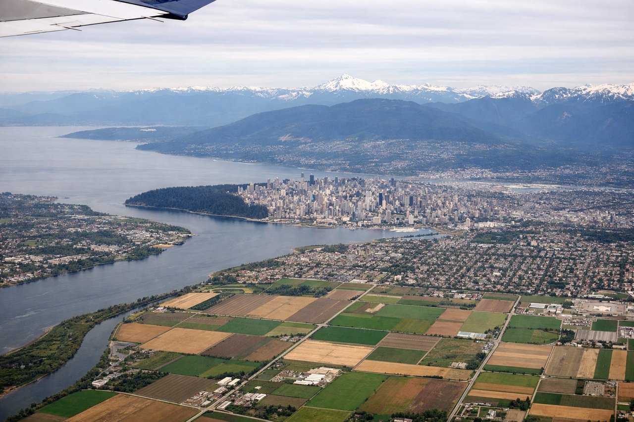
LEFTDeparting YVR under typical westerly winds, aircraft takeoff to the west then curve back east, giving left-side passengers a sweeping view of the North Shore Mountains and Burrard Inlet as the plane banks over the city. This is followed shortly by a glimpse of the Coast Mountains and, within 20 minutes, the Canadian Rockies passing beneath the flight path on the northern side.
Landing at YYZ
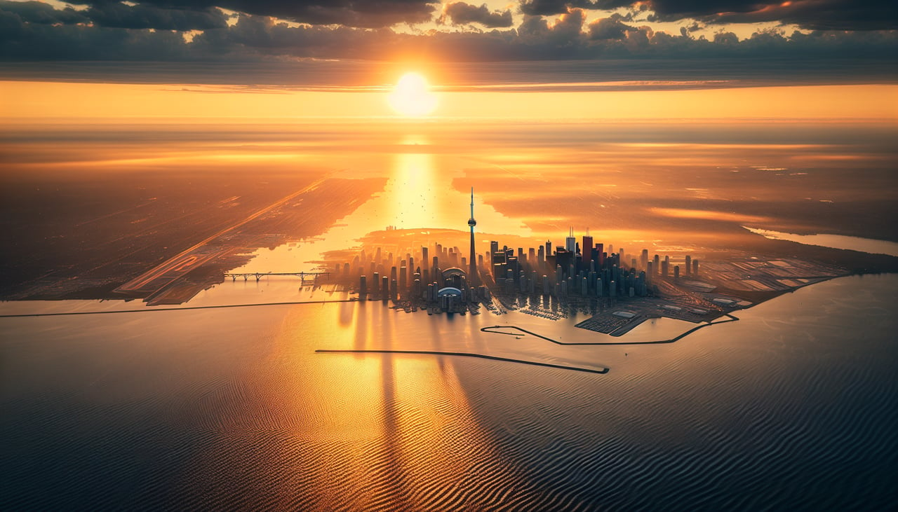
RIGHTArriving at YYZ from the west, aircraft typically descend over the patchwork farmland of southern Ontario before turning to align with the southwest-facing runways, putting Lake Ontario and the Toronto skyline in view on the right side during the final turn. The CN Tower and downtown high-rises are briefly visible against the lake before touchdown.
Landmarks on this routeAll landmarks →
Will your flight be in sunlight?
See exactly which side of the plane gets sun and shade at your departure time.
About This Route
Which side of the plane should I sit on flying from Vancouver International (YVR) to Lester B Pearson International (YYZ)?
Sit on the Left side of the plane for the best views on flights from Vancouver to Toronto. The left side wins because of the dramatic one-two combination of Vancouver's North Shore Mountains at takeoff followed by a clear crossing of the Canadian Rockies within the first half hour, which together outweigh the flatter prairie and boreal cruise scenery and the brief lake/skyline view on landing.
What can I see during takeoff from Vancouver International in Vancouver?
During takeoff from Vancouver International (YVR), sit on the Left side for the best views. Departing YVR under typical westerly winds, aircraft takeoff to the west then curve back east, giving left-side passengers a sweeping view of the North Shore Mountains and Burrard Inlet as the plane banks over the city. This is followed shortly by a glimpse of the Coast Mountains and, within 20 minutes, the Canadian Rockies passing beneath the flight path on the northern side. Notable sights include: North Shore Mountains (Grouse, Seymour, Cypress), Burrard Inlet, Downtown Vancouver skyline, Georgia Strait.
What can I see when landing at Lester B Pearson International in Toronto?
When landing at Lester B Pearson International (YYZ), sit on the Right side for the best views. Arriving at YYZ from the west, aircraft typically descend over the patchwork farmland of southern Ontario before turning to align with the southwest-facing runways, putting Lake Ontario and the Toronto skyline in view on the right side during the final turn. The CN Tower and downtown high-rises are briefly visible against the lake before touchdown. Notable sights include: CN Tower and Toronto skyline, Lake Ontario, Toronto Islands, patchwork farmland of the Ontario countryside.
How long is the flight from Vancouver to Toronto?
The flight from Vancouver International (YVR) to Lester B Pearson International (YYZ) takes 4h 35m.
What does the Vancouver to Toronto flight path pass over?
Canadian Rockies near the BC-Alberta border, the rolling prairies of Alberta and Saskatchewan, the boreal forest and lakes of northern Ontario, and the northern shoreline of Lake Superior near Thunder Bay