Both sides face hours of open Pacific with little to see, so the flight's value comes down to the two short scenic windows at each end — Hawaii's volcanic coastline and skyline on departure is a more dramatic, singular view than the bay-and-city landing scene at Kansai, giving the left side the edge overall.
Flight Path
The route crosses thousands of miles of open North Pacific with no landmasses in sight for most of the crossing, staying roughly between 20-30N before curving north toward Japan, passing in the general vicinity of the Bonin (Ogasawara) Islands and the Izu island chain as it nears the Japanese coast.
Great circle distance and headings ›


Phase by phase
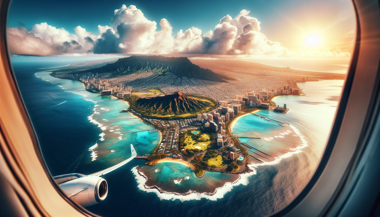
Takeoff from HNL
LEFTDeparting HNL's Reef Runway to the east, the aircraft banks left to turn onto its northwest heading for Japan, swinging the left side of the cabin past Waikiki, Diamond Head, and downtown Honolulu before heading out over open ocean.
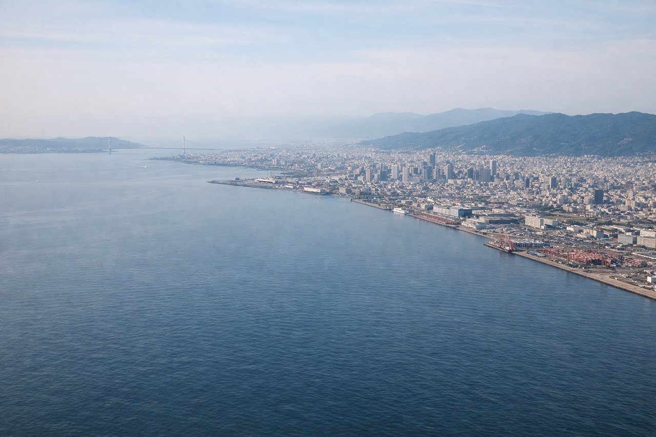
Landing at KIX
RIGHTOn the typical daytime approach to KIX's runway 24, the aircraft descends over Osaka Bay heading southwest, putting the Osaka-Kobe urban corridor and the Rokko mountain backdrop on the right side, while the left only faces open water toward Awaji Island.
Landmarks on this routeAll landmarks →
Will your flight be in sunlight?
See exactly which side of the plane gets sun and shade at your departure time.
About This Route
Which side of the plane should I sit on flying from Honolulu International (HNL) to Kansai International (KIX)?
Sit on the Left side of the plane for the best views on flights from Honolulu to Osaka. Both sides face hours of open Pacific with little to see, so the flight's value comes down to the two short scenic windows at each end — Hawaii's volcanic coastline and skyline on departure is a more dramatic, singular view than the bay-and-city landing scene at Kansai, giving the left side the edge overall.
What can I see during takeoff from Honolulu International in Honolulu?
During takeoff from Honolulu International (HNL), sit on the Left side for the best views. Departing HNL's Reef Runway to the east, the aircraft banks left to turn onto its northwest heading for Japan, swinging the left side of the cabin past Waikiki, Diamond Head, and downtown Honolulu before heading out over open ocean. Notable sights include: Diamond Head crater, Waikiki beachfront, downtown Honolulu skyline, Koolau mountain ridgeline.
What can I see when landing at Kansai International in Osaka?
When landing at Kansai International (KIX), sit on the Right side for the best views. On the typical daytime approach to KIX's runway 24, the aircraft descends over Osaka Bay heading southwest, putting the Osaka-Kobe urban corridor and the Rokko mountain backdrop on the right side, while the left only faces open water toward Awaji Island. Notable sights include: Osaka skyline, Kobe waterfront, Rokko mountain range, Osaka Bay with the Kansai airport island ahead.
How long is the flight from Honolulu to Osaka?
The flight from Honolulu International (HNL) to Kansai International (KIX) takes 8h 05m.
What does the Honolulu to Osaka flight path pass over?
The route crosses thousands of miles of open North Pacific with no landmasses in sight for most of the crossing, staying roughly between 20-30N before curving north toward Japan, passing in the general vicinity of the Bonin (Ogasawara) Islands and the Izu island chain as it nears the Japanese coast.