While the right side wins the Japan departure with Kobe's skyline and the Akashi bridge, the left side's Hawaii arrival over Pearl Harbor and the Waianae Range is more dramatic and memorable, giving it the higher overall score for the full flight.
Flight Path
The route crosses thousands of miles of open North Pacific Ocean with no islands or coastline visible, passing well north of the Bonin and Volcano Islands and south of the main shipping lanes, until the Hawaiian island chain comes into view near the end of the flight.
Great circle distance and headings ›


Phase by phase
Takeoff from KIX
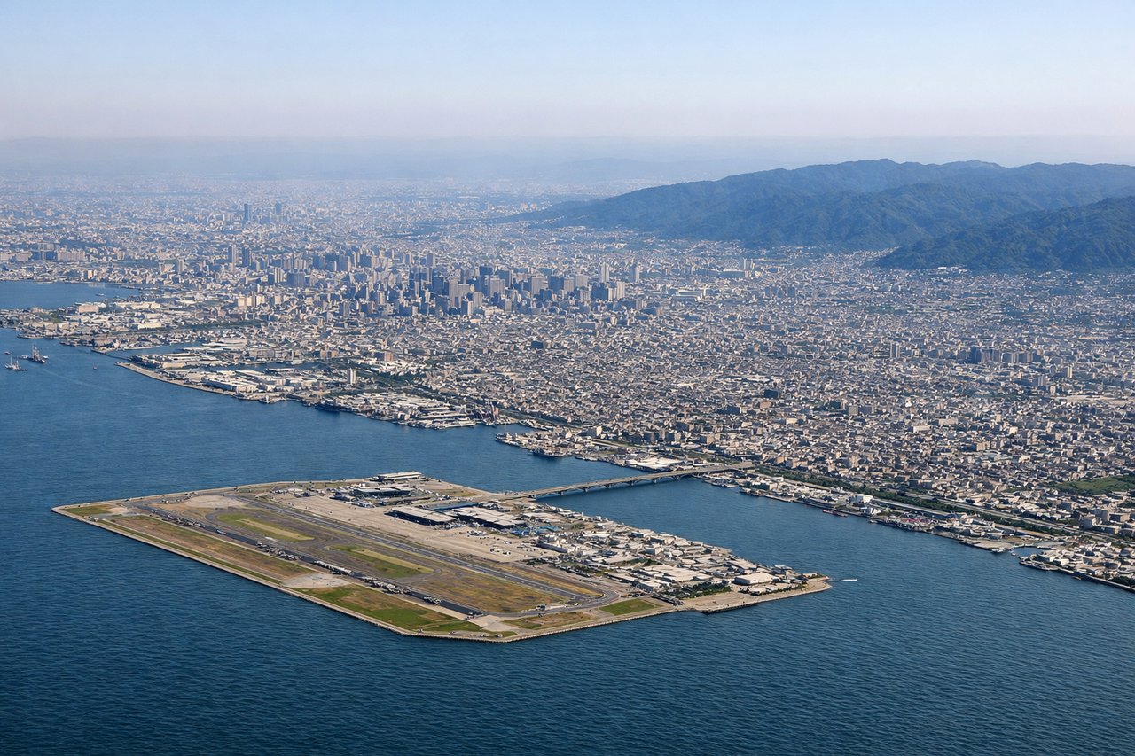
RIGHTWith KIX's typical southwest departure on runway 24, the initial climb keeps the Kobe-Osaka waterfront and the Akashi Kaikyo Bridge on the right side before the aircraft banks out toward the Pacific. The left side instead faces the Kii Peninsula's mountains, which are scenic but less distinct from cruising altitude.
Landing at HNL
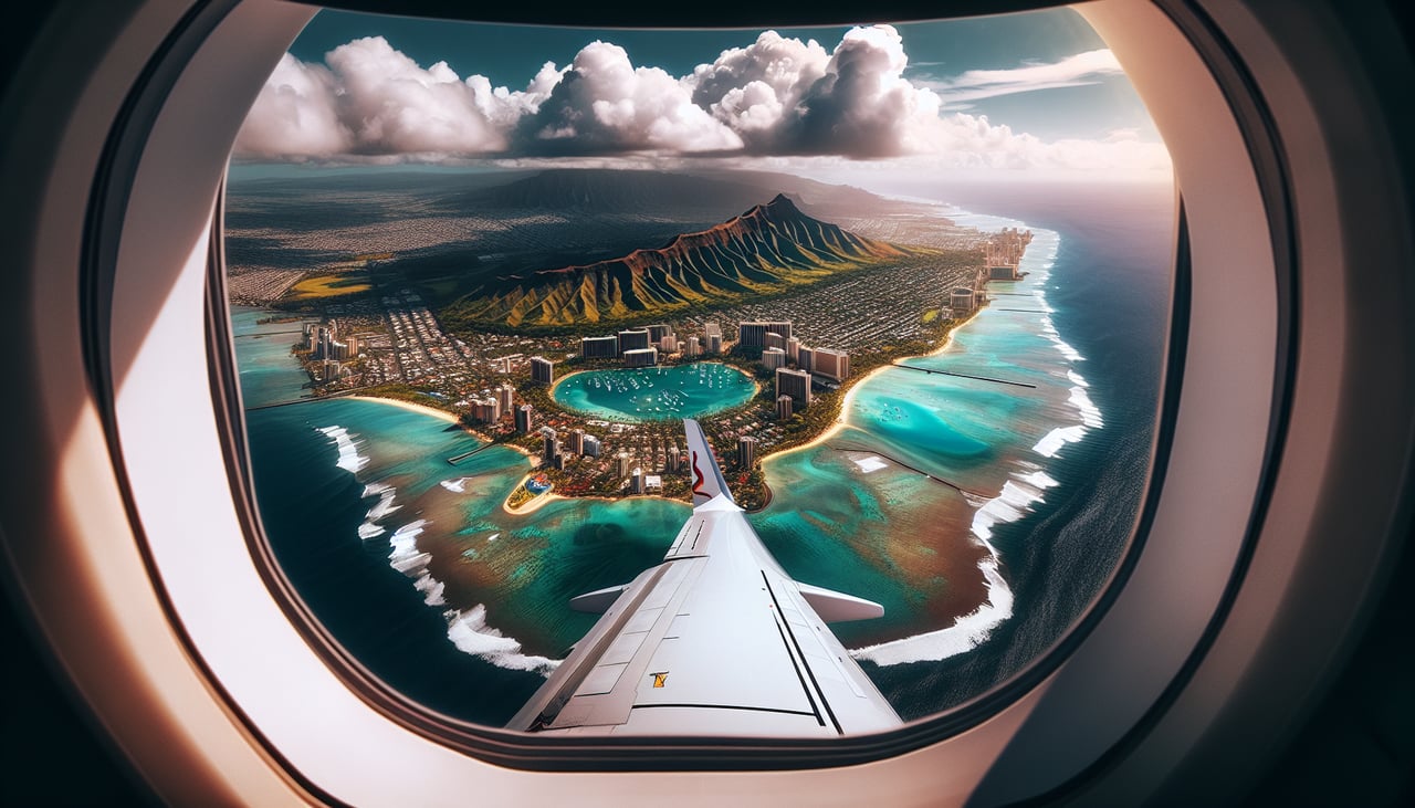
LEFTArriving into HNL from the northwest, the aircraft typically tracks east over Oahu's Ewa plain and Pearl Harbor before landing, putting Pearl Harbor's Ford Island and the Waianae Range on the left side. The right side mostly faces open ocean and the reef runway extending into the water, with far less to see.
Landmarks on this routeAll landmarks →
Will your flight be in sunlight?
See exactly which side of the plane gets sun and shade at your departure time.
About This Route
Which side of the plane should I sit on flying from Kansai International (KIX) to Honolulu International (HNL)?
Sit on the Left side of the plane for the best views on flights from Osaka to Honolulu. While the right side wins the Japan departure with Kobe's skyline and the Akashi bridge, the left side's Hawaii arrival over Pearl Harbor and the Waianae Range is more dramatic and memorable, giving it the higher overall score for the full flight.
What can I see during takeoff from Kansai International in Osaka?
During takeoff from Kansai International (KIX), sit on the Right side for the best views. With KIX's typical southwest departure on runway 24, the initial climb keeps the Kobe-Osaka waterfront and the Akashi Kaikyo Bridge on the right side before the aircraft banks out toward the Pacific. The left side instead faces the Kii Peninsula's mountains, which are scenic but less distinct from cruising altitude. Notable sights include: Osaka Bay, Kobe skyline, Akashi Kaikyo Bridge, Awaji Island.
What can I see when landing at Honolulu International in Honolulu?
When landing at Honolulu International (HNL), sit on the Left side for the best views. Arriving into HNL from the northwest, the aircraft typically tracks east over Oahu's Ewa plain and Pearl Harbor before landing, putting Pearl Harbor's Ford Island and the Waianae Range on the left side. The right side mostly faces open ocean and the reef runway extending into the water, with far less to see. Notable sights include: Pearl Harbor and Ford Island, Waianae Range, Ewa Plain, Honolulu skyline near touchdown.
How long is the flight from Osaka to Honolulu?
The flight from Kansai International (KIX) to Honolulu International (HNL) takes 7h 45m.
What does the Osaka to Honolulu flight path pass over?
The route crosses thousands of miles of open North Pacific Ocean with no islands or coastline visible, passing well north of the Bonin and Volcano Islands and south of the main shipping lanes, until the Hawaiian island chain comes into view near the end of the flight.