Honolulu to San Jose is 2,415 miles (3,886 km), a flight of about 5 hours 15 minutes.
While takeoff favors the right for Oahu's windward scenery, the landing approach provides more dramatic and sustained views from the left side of the Santa Cruz Mountains and bay geography. The left side captures the most visually distinctive portion of the entire flight.
Flight Path
The flight path crosses the open Pacific for roughly 2,000 nautical miles with no significant landmarks. Passengers may see scattered clouds and open ocean throughout the midpoint. As the aircraft approaches California, the Sierra Nevada mountains become visible on the eastern horizon around 1.5 hours before landing, appearing as a distant ridge line. The Central Valley of California becomes visible approximately 45 minutes before landing as a flat, developed agricultural and urban landscape. The transition from ocean to land is gradual, with the California coast first appearing as a thin line on the horizon before expanding into visible detail.
Great circle distance and headings ›

Phase by phase
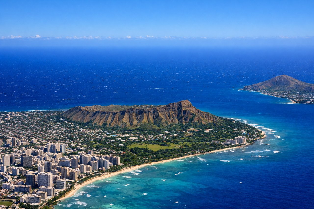
Takeoff from HNL
RIGHTRight-side seats capture the Ko'olau mountain range and windward Oahu coastline during the typical northeast departure climb. Left side faces the open Pacific immediately after takeoff.
Landing at SJC
LEFTLeft-side seats offer views of the Santa Cruz Mountains and San Francisco Bay during the typical approach from the northwest. The descent path brings these features into clear view on the left side before landing.
Landmarks on this routeAll landmarks →
Will your flight be in sunlight?
Pick a date and time in the Sun Map to watch the sun move across your whole flight.
About This Route
Which side of the plane should I sit on flying from Honolulu International (HNL) to Norman Y Mineta San Jose International (SJC)?
Sit on the Left side of the plane for the best views on flights from Honolulu to San Jose. While takeoff favors the right for Oahu's windward scenery, the landing approach provides more dramatic and sustained views from the left side of the Santa Cruz Mountains and bay geography. The left side captures the most visually distinctive portion of the entire flight.
What can I see during takeoff from Honolulu International in Honolulu?
During takeoff from Honolulu International (HNL), sit on the Right side for the best views. Right-side seats capture the Ko'olau mountain range and windward Oahu coastline during the typical northeast departure climb. Left side faces the open Pacific immediately after takeoff. Notable sights include: Ko'olau mountain range (northeast), Kailua Bay and windward coast, Kaneohe Bay, Pearl Harbor (visible briefly on initial climb).
What can I see when landing at Norman Y Mineta San Jose International in San Jose?
When landing at Norman Y Mineta San Jose International (SJC), sit on the Left side for the best views. Left-side seats offer views of the Santa Cruz Mountains and San Francisco Bay during the typical approach from the northwest. The descent path brings these features into clear view on the left side before landing. Notable sights include: Santa Cruz Mountains (southwest of airport), San Francisco Bay and Diablo Range (north), Silicon Valley urban grid, Mount Hamilton (distant southeast).
How long is the flight from Honolulu to San Jose?
The flight from Honolulu International (HNL) to Norman Y Mineta San Jose International (SJC) takes about 5 hours 15 minutes. The shortest flight path between them is 2,415 miles (3,886 km); winds and air traffic control usually add a few percent.
What does the Honolulu to San Jose flight path pass over?
The flight path crosses the open Pacific for roughly 2,000 nautical miles with no significant landmarks. Passengers may see scattered clouds and open ocean throughout the midpoint. As the aircraft approaches California, the Sierra Nevada mountains become visible on the eastern horizon around 1.5 hours before landing, appearing as a distant ridge line. The Central Valley of California becomes visible approximately 45 minutes before landing as a flat, developed agricultural and urban landscape. The transition from ocean to land is gradual, with the California coast first appearing as a thin line on the horizon before expanding into visible detail.