Seoul to Sapporo is 883 miles (1,421 km), a flight of about 2 hours 20 minutes.
The left side captures the two most visually distinct moments of the flight: Seoul's skyline and river during the turn after takeoff, and Hokkaido's volcanic lake country during the descent into CTS. The right side spends most of the flight over open water or flatter coastal terrain.
Flight Path
Sea of Japan (East Sea) open water crossing, with the flight path passing north of Honshu's Tohoku coast before crossing the Tsugaru Strait into southern Hokkaido
Great circle distance and headings ›Phase by phase
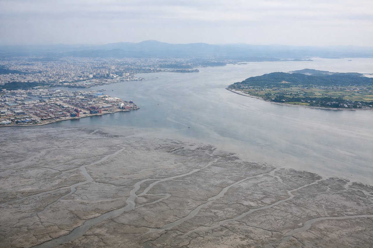
Takeoff from ICN
LEFTDeparting ICN on runway 15/16 toward the southeast, the aircraft banks left onto its northeastward routing toward Japan, swinging the nose across the Seoul metropolitan area. This gives left-side passengers a view of the Han River winding through the city and the dense high-rise districts of Seoul before the plane climbs out over Gyeonggi-do's hills.
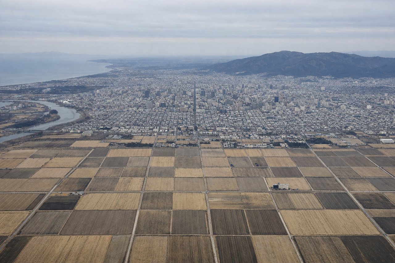
Landing at CTS
LEFTOn approach to CTS from the south (runway 01 configuration common in winter), the descent path passes east of the volcanic highlands around Lake Shikotsu, putting the caldera lake and the conical peak of Mount Yotei on the left side of the aircraft. The right side mostly shows the flatter Tomakomai industrial coastline and open Pacific waters.
Will your flight be in sunlight?
Pick a date and time in the Sun Map to watch the sun move across your whole flight.
About This Route
Which side of the plane should I sit on flying from Incheon International (ICN) to Chitose International Airport (CTS)?
Sit on the Left side of the plane for the best views on flights from Seoul to Sapporo. The left side captures the two most visually distinct moments of the flight: Seoul's skyline and river during the turn after takeoff, and Hokkaido's volcanic lake country during the descent into CTS. The right side spends most of the flight over open water or flatter coastal terrain.
What can I see during takeoff from Incheon International in Seoul?
During takeoff from Incheon International (ICN), sit on the Left side for the best views. Departing ICN on runway 15/16 toward the southeast, the aircraft banks left onto its northeastward routing toward Japan, swinging the nose across the Seoul metropolitan area. This gives left-side passengers a view of the Han River winding through the city and the dense high-rise districts of Seoul before the plane climbs out over Gyeonggi-do's hills. Notable sights include: Han River, Seoul skyline (Gangnam/Yeouido towers), Bukhansan mountain silhouette, Incheon coastline falling away behind.
What can I see when landing at Chitose International Airport in Sapporo?
When landing at Chitose International Airport (CTS), sit on the Left side for the best views. On approach to CTS from the south (runway 01 configuration common in winter), the descent path passes east of the volcanic highlands around Lake Shikotsu, putting the caldera lake and the conical peak of Mount Yotei on the left side of the aircraft. The right side mostly shows the flatter Tomakomai industrial coastline and open Pacific waters. Notable sights include: Lake Shikotsu caldera, Mount Yotei (volcanic cone), Mount Tarumae, forested foothills of central Hokkaido.
How long is the flight from Seoul to Sapporo?
The flight from Incheon International (ICN) to Chitose International Airport (CTS) takes about 2 hours 20 minutes. The shortest flight path between them is 883 miles (1,421 km); winds and air traffic control usually add a few percent.
What does the Seoul to Sapporo flight path pass over?
Sea of Japan (East Sea) open water crossing, with the flight path passing north of Honshu's Tohoku coast before crossing the Tsugaru Strait into southern Hokkaido