While the takeoff from Kona favors the right side slightly, the landing into Honolulu on the left side delivers a dramatic, highly recognizable sequence with Diamond Head and the Waikiki skyline, giving the left side the stronger overall experience.
Flight Path
Open ocean channel between the islands of Hawaii and Oahu, with Maui and Molokai occasionally visible to the north depending on flight path
Great circle distance and headings ›

Phase by phase
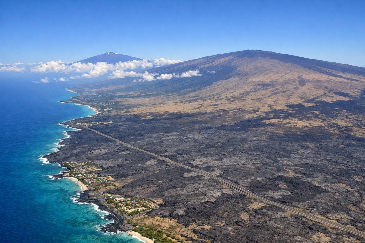
Takeoff from KOA
RIGHTDeparting Kona, the right side faces the slopes of Hualalai volcano and the coastline receding behind, giving good views of the lava fields and coast during the initial climb. The left side mostly faces open ocean at this point.
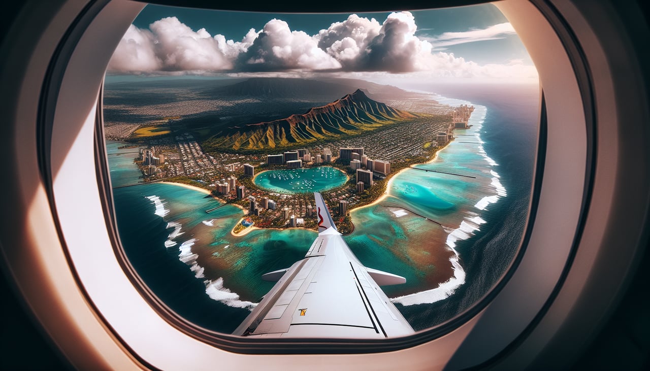
Landing at HNL
LEFTOn approach into Honolulu, the left side offers views of Diamond Head crater, the Waikiki skyline, and the south shore coastline as the aircraft descends over Oahu. This is one of the most recognizable urban-volcanic landing sequences in the Pacific.
Landmarks on this routeAll landmarks →
Will your flight be in sunlight?
See exactly which side of the plane gets sun and shade at your departure time.
About This Route
Which side of the plane should I sit on flying from Kona International At Keahole (KOA) to Honolulu International (HNL)?
Sit on the Left side of the plane for the best views on flights from Kona to Honolulu. While the takeoff from Kona favors the right side slightly, the landing into Honolulu on the left side delivers a dramatic, highly recognizable sequence with Diamond Head and the Waikiki skyline, giving the left side the stronger overall experience.
What can I see during takeoff from Kona International At Keahole in Kona?
During takeoff from Kona International At Keahole (KOA), sit on the Right side for the best views. Departing Kona, the right side faces the slopes of Hualalai volcano and the coastline receding behind, giving good views of the lava fields and coast during the initial climb. The left side mostly faces open ocean at this point. Notable sights include: Hualalai volcano, Kona coastline lava fields, Keahole Point.
What can I see when landing at Honolulu International in Honolulu?
When landing at Honolulu International (HNL), sit on the Left side for the best views. On approach into Honolulu, the left side offers views of Diamond Head crater, the Waikiki skyline, and the south shore coastline as the aircraft descends over Oahu. This is one of the most recognizable urban-volcanic landing sequences in the Pacific. Notable sights include: Diamond Head crater, Waikiki high-rises, Honolulu harbor, Koolau mountain range.
How long is the flight from Kona to Honolulu?
The flight from Kona International At Keahole (KOA) to Honolulu International (HNL) takes 0h 45m.
What does the Kona to Honolulu flight path pass over?
Open ocean channel between the islands of Hawaii and Oahu, with Maui and Molokai occasionally visible to the north depending on flight path